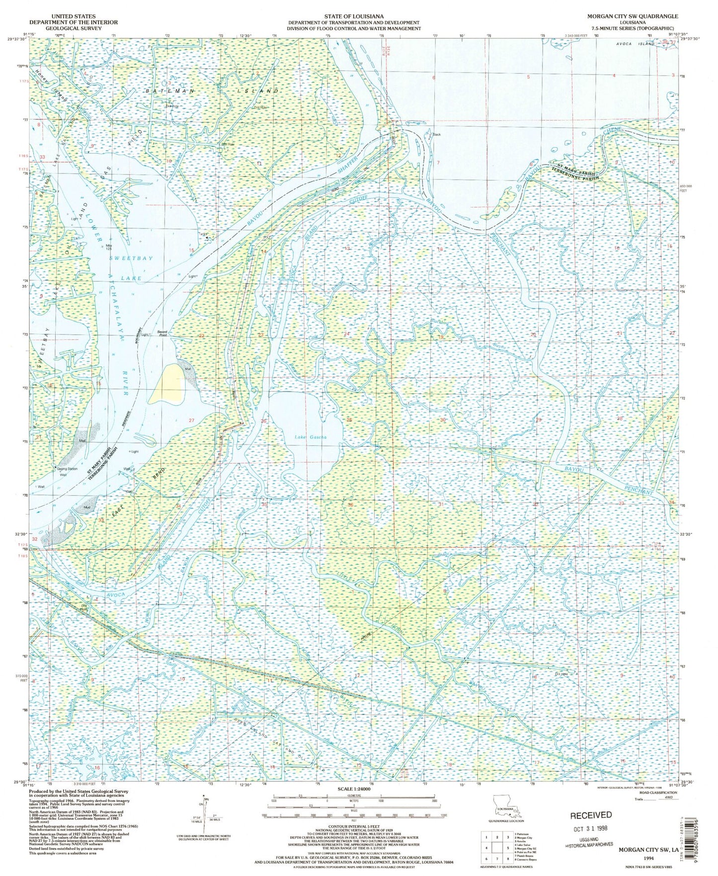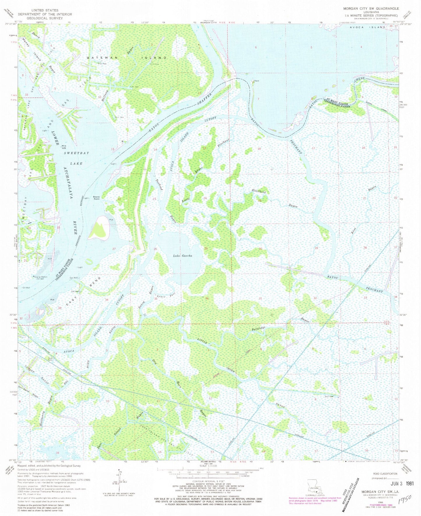
MyTopo
Classic USGS Morgan City SW Louisiana 7.5'x7.5' Topo Map
Couldn't load pickup availability
Historical USGS topographic quad map of Morgan City SW in the state of Louisiana. Map scale may vary for some years, but is generally around 1:24,000. Print size is approximately 24" x 27"
This quadrangle is in the following counties: St. Mary, Terrebonne.
The map contains contour lines, roads, rivers, towns, and lakes. Printed on high-quality waterproof paper with UV fade-resistant inks, and shipped rolled.
Contains the following named places: Avoca Island Cutoff, Bayou Lawrence, Bayou Shaffer, Big Horn Bayou, Blackbird Bayou, Cutoff Bayou, Dry Horn Bayou, East Bend, Hackberry Bayou, Halfway Bayou, Honey Bayou, Honey Island, Lake Gascha, Little Bayou Penchant, Little Horn Bayou, Lower Pass, Partridge Bayou, Sweetbay Lake, Sweetbay Lake Oil and Gas Field, Sword Bayou, Sword Point, Towhead Bayou