MyTopo
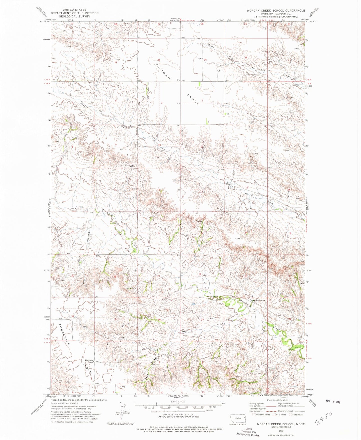
Classic USGS Morgan Creek School Montana 7.5'x7.5' Topo Map
Couldn't load pickup availability
Historical USGS topographic quad map of Morgan Creek School in the state of Montana. Map scale may vary for some years, but is generally around 1:24,000. Print size is approximately 24" x 27"
This quadrangle is in the following counties: Dawson.
The map contains contour lines, roads, rivers, towns, and lakes. Printed on high-quality waterproof paper with UV fade-resistant inks, and shipped rolled.
Contains the following named places: 17N54E09ABCC01 Well, 17N54E09ABCD01 Well, 18N54E08CABD01 Well, 18N54E10DBAC01 Well, 18N54E12CCCC01 Well, 18N54E21DADC01 Well, 18N54E25BDDD01 Well, 18N54E32BDCD01 Well, Coal Mine Coulee, Dry Creek, Lower Sevenmile School, Morgan Creek School, Morgan Table, Plum Coulee, Threemile School, Threemile Table