MyTopo
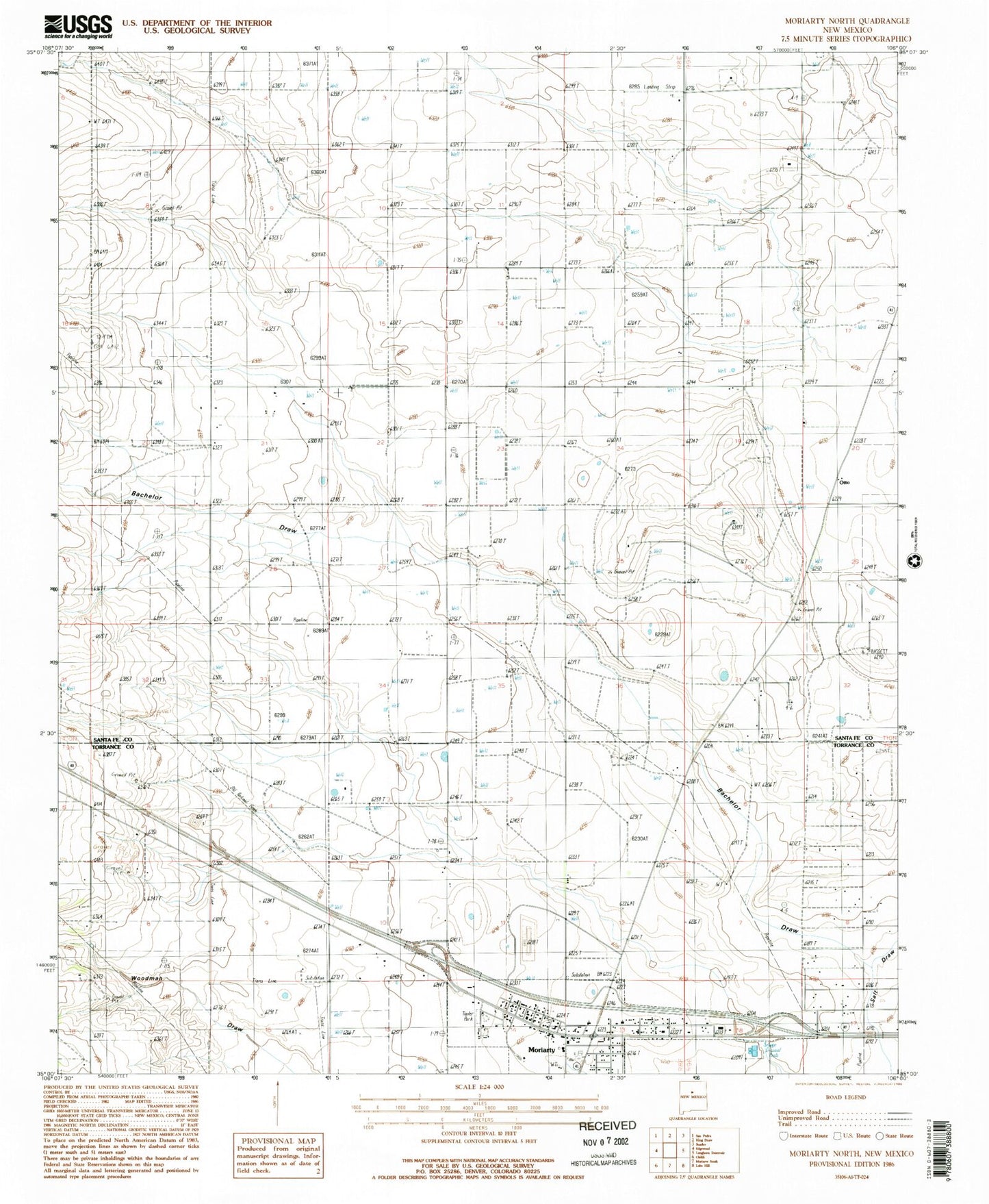
Classic USGS Moriarty North New Mexico 7.5'x7.5' Topo Map
Couldn't load pickup availability
Historical USGS topographic quad map of Moriarty North in the state of New Mexico. Map scale may vary for some years, but is generally around 1:24,000. Print size is approximately 24" x 27"
This quadrangle is in the following counties: Santa Fe, Torrance.
The map contains contour lines, roads, rivers, towns, and lakes. Printed on high-quality waterproof paper with UV fade-resistant inks, and shipped rolled.
Contains the following named places: 10004 Water Well, 10010 Water Well, 10065 Water Well, 10233 Water Well, 10247 Water Well, Bachelor Draw, Cavasos Place, City of Moriarty, Davis Ranch, Homes Valley, Johns Place, Martin Place, Moriarty Fire Department Main Station, Moriarty Police Department, Moriarty Post Office, Otto, Otto Post Office, Otto Weather Station, Water Well 10007, Water Well 10012, Water Well 10013, Water Well 10017