MyTopo
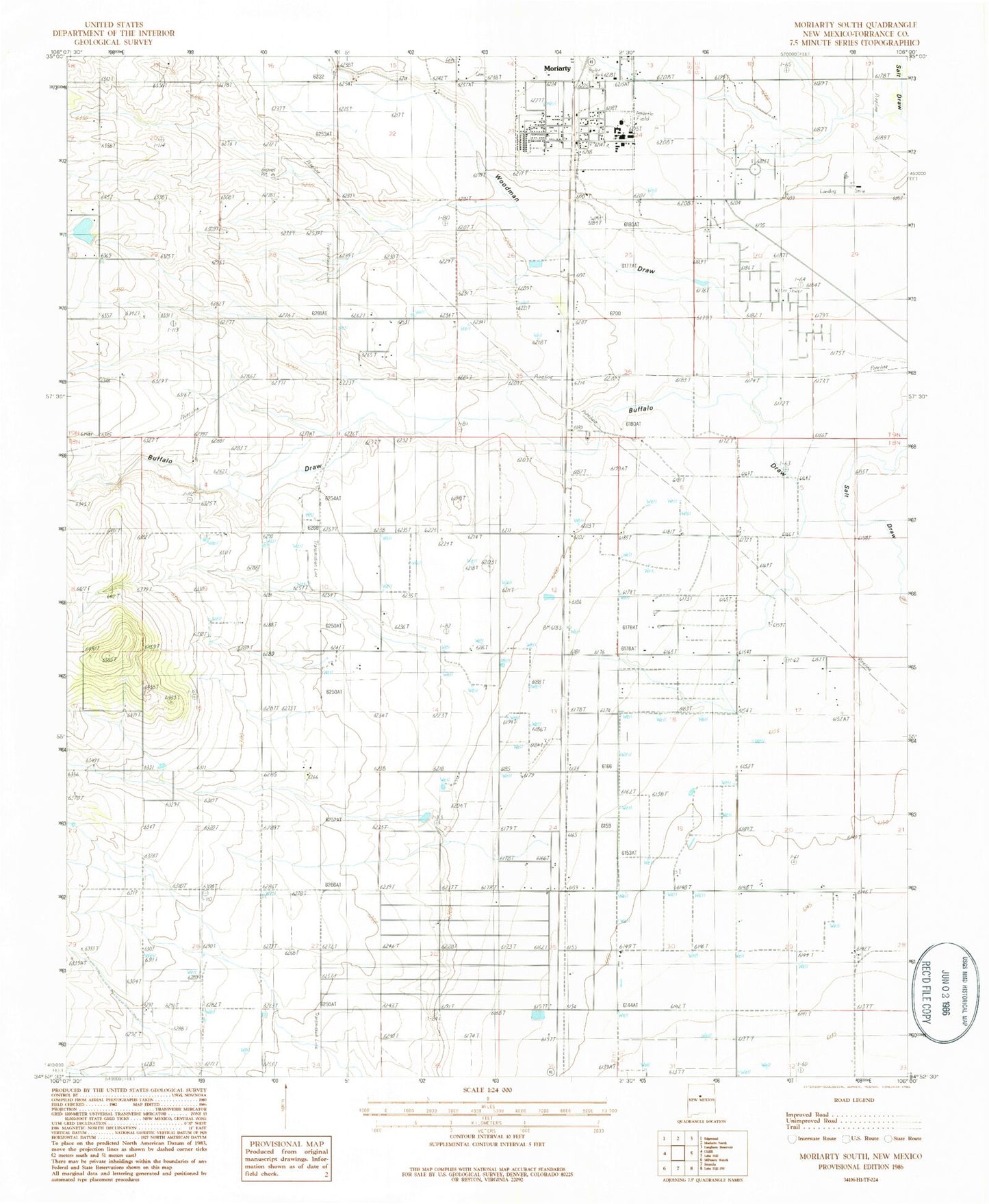
Classic USGS Moriarty South New Mexico 7.5'x7.5' Topo Map
Couldn't load pickup availability
Historical USGS topographic quad map of Moriarty South in the state of New Mexico. Map scale may vary for some years, but is generally around 1:24,000. Print size is approximately 24" x 27"
This quadrangle is in the following counties: Torrance.
The map contains contour lines, roads, rivers, towns, and lakes. Printed on high-quality waterproof paper with UV fade-resistant inks, and shipped rolled.
Contains the following named places: 10176 Water Well, 10189 Water Well, 10196 Water Well, Bethel United Methodist Church, Buffalo Draw, C Davis Place, Central New Mexico Medical Center, E Davis Place, E-3859-S-Enlarged Well, East Mountain Assembly of God Church, Eclipse Windmill Historic Site, First Baptist Church of Moriarty, First United Methodist Church, Flowers Ranch, Frontier Church, Hornsby Ranch, Indian Ranchettes, McIntosh Census Designated Place, Mendonca Ranch, Mescalero Lake Dam, Mescalero Reservoir, Moriarty, Moriarty Community Library, Moriarty Historical Society Museum, Moriarty Municipal Airport, Mount Carmel Cemetery, Mountain View Cemetery, Torrance County District 2 Volunteer Fire Department, Woodman Draw


