MyTopo
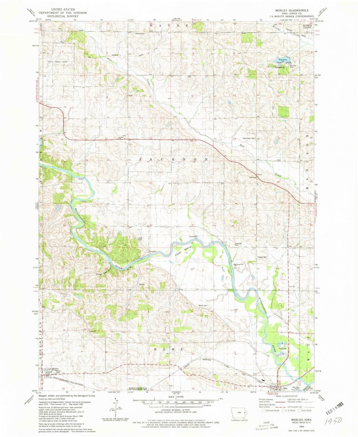
Classic USGS Morley Iowa 7.5'x7.5' Topo Map
Couldn't load pickup availability
Historical USGS topographic quad map of Morley in the state of Iowa. Map scale may vary for some years, but is generally around 1:24,000. Print size is approximately 24" x 27"
This quadrangle is in the following counties: Jones.
The map contains contour lines, roads, rivers, towns, and lakes. Printed on high-quality waterproof paper with UV fade-resistant inks, and shipped rolled.
Contains the following named places: Antioch Cemetery, Antioch Church, Antioch School, Cedar Island, Center Cemetery, Center Church, Central Park, Central Park Lake, Central Park Lake Dam, City of Morley, Faith United Methodist Church, Fremont Mill Bridge, Glenn Cemetery, Goose Pond, Grafft Cemetery, Hazel Green Cemetery, Hogs Den Hollow, Iowa State Penal Farm, Isabell, Isabell Post Office, Jones County, Merritt Cemetery, Midland Cemetery, Miller Park, Morley, Morley City Hall, Morley Community Building, Morley Fire Department First Responders, Morley Library, Morley Post Office, Newport, Olin, Olin Ambulance Service, Olin Hose Company, Olin Recreation Area Access, Pleasant Valley Cemetery, Township of Jackson, Walnut Creek, Wayside, ZIP Code: 52312