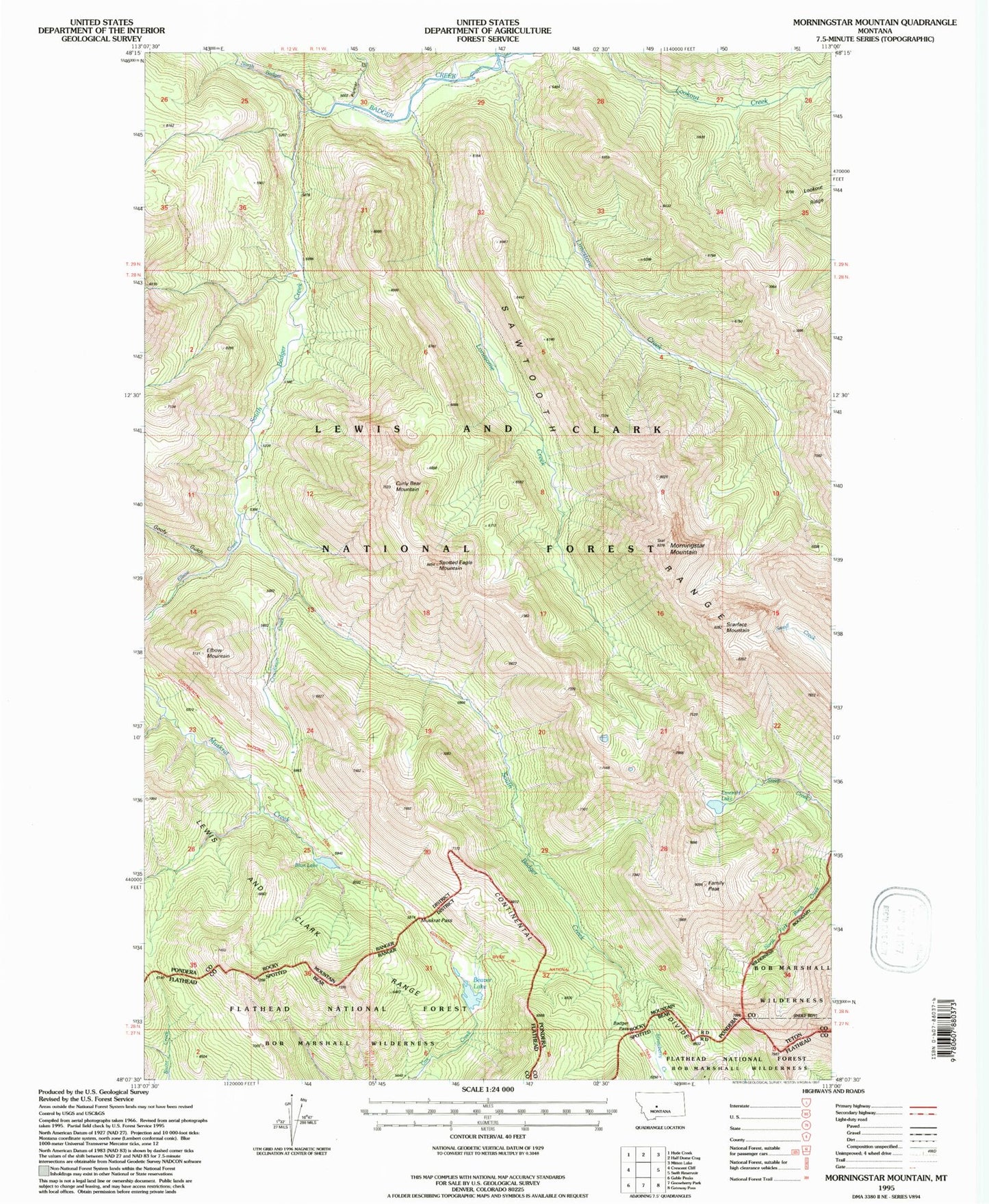
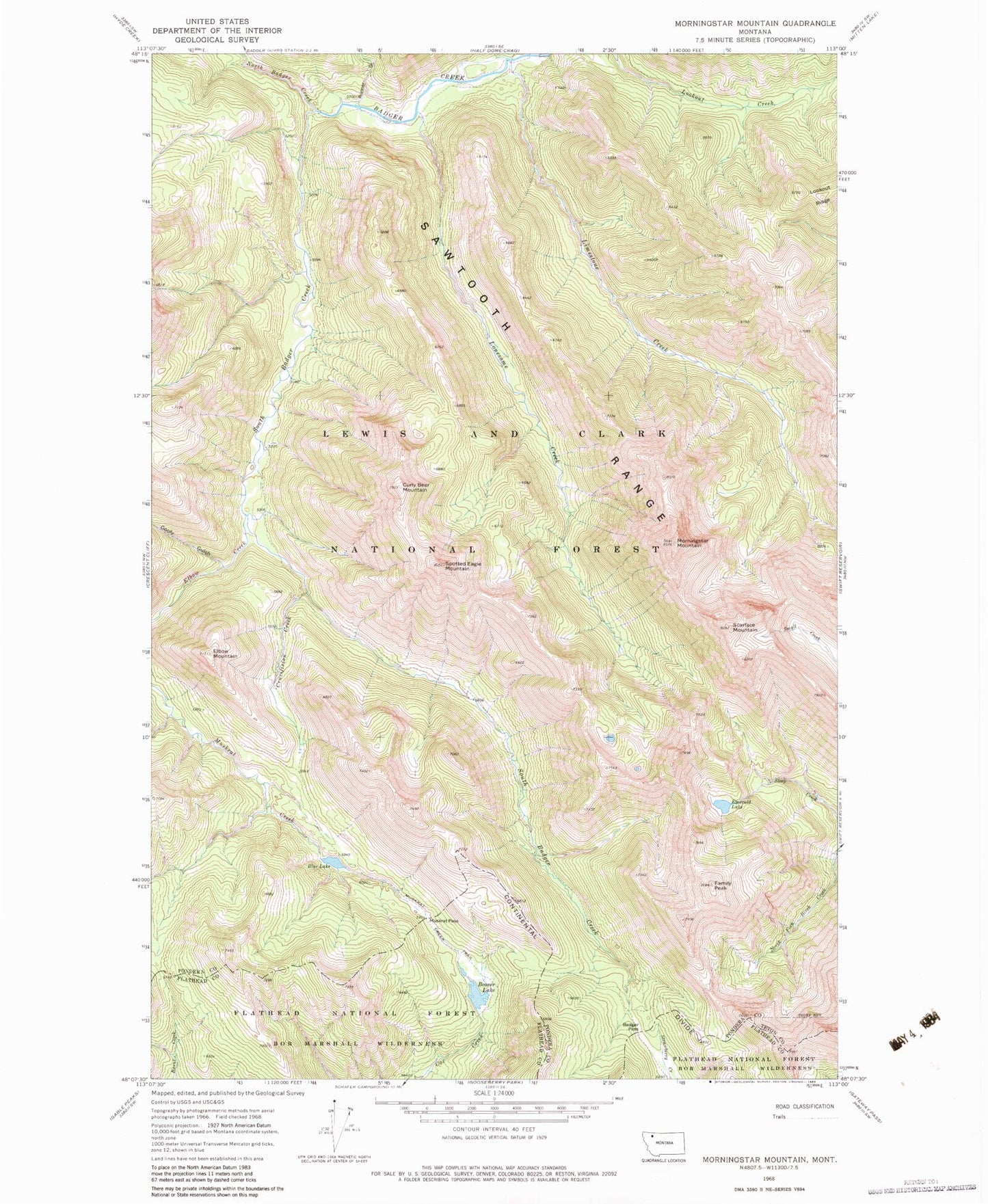
MyTopo
Classic USGS Morningstar Mountain Montana 7.5'x7.5' Topo Map
Couldn't load pickup availability
Historical USGS topographic quad map of Morningstar Mountain in the state of Montana. Map scale may vary for some years, but is generally around 1:24,000. Print size is approximately 24" x 27"
This quadrangle is in the following counties: Flathead, Pondera, Teton.
The map contains contour lines, roads, rivers, towns, and lakes. Printed on high-quality waterproof paper with UV fade-resistant inks, and shipped rolled.
Contains the following named places: Badger Pass, Beaver Lake, Blue Lake, Crucifixion Creek, Curly Bear Mountain, Elbow Creek, Elbow Mountain, Emerald Lake, Family Peak, Goofy Gulch, Limestone Creek, Lonesome Creek, Morningstar Mountain, Muskrat Creek Trail, Muskrat Pass, North Badger Creek, Runner Gulch, Scarface Mountain, South Badger Creek, Spotted Eagle Mountain