MyTopo
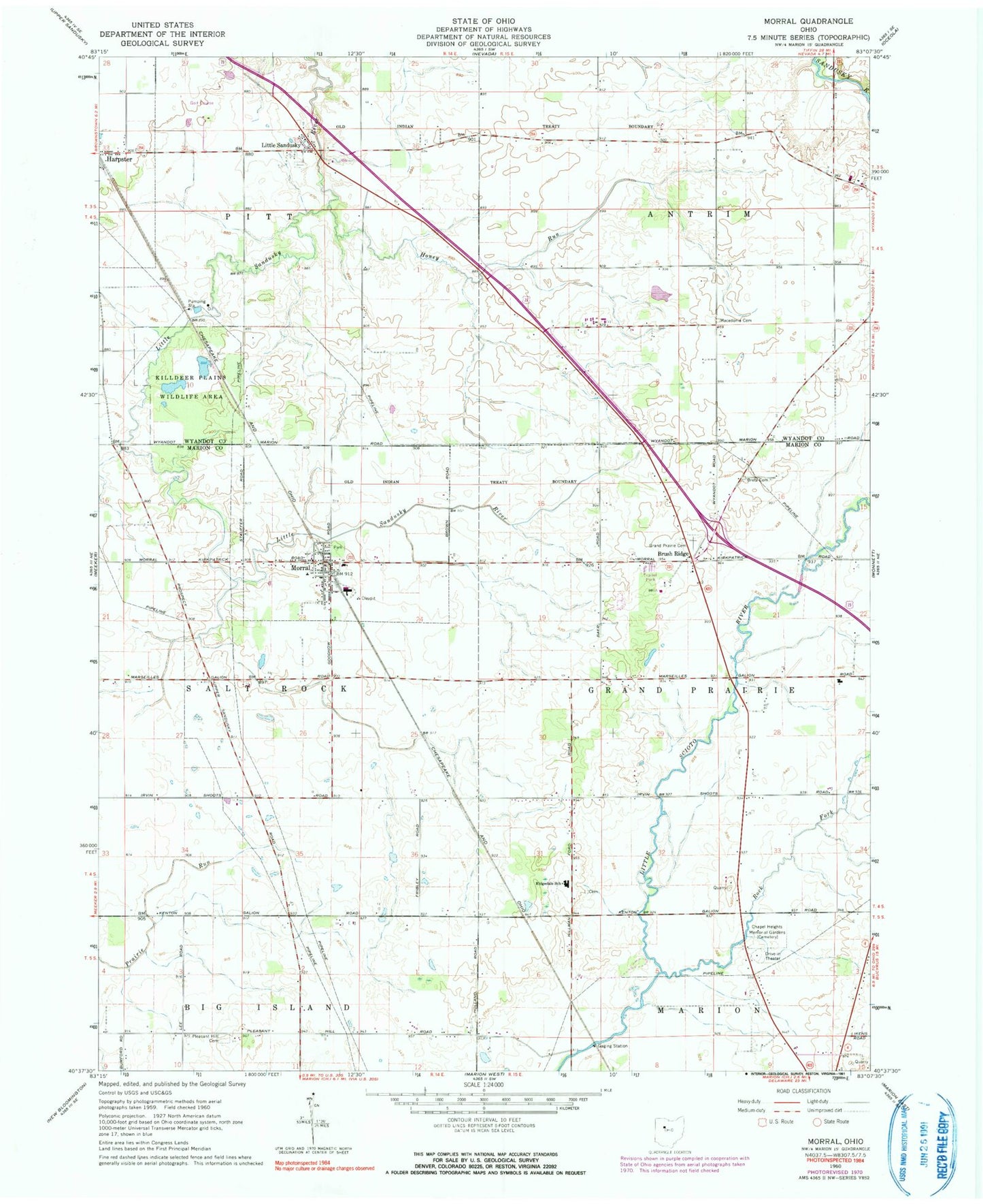
Classic USGS Morral Ohio 7.5'x7.5' Topo Map
Couldn't load pickup availability
Historical USGS topographic quad map of Morral in the state of Ohio. Map scale may vary for some years, but is generally around 1:24,000. Print size is approximately 24" x 27"
This quadrangle is in the following counties: Marion, Wyandot.
The map contains contour lines, roads, rivers, towns, and lakes. Printed on high-quality waterproof paper with UV fade-resistant inks, and shipped rolled.
Contains the following named places: Ackley Farms, Bretz Cemetery, Brewer Cemetery, Brush Ridge, Carpenters Corners, Chapel Heights Memorial Gardens, Drake Cemetery, Edwin Naus Lake, Edwin Naus Lake Dam, Fetter and Son Farms, Fitzhugh Grave, Grand Prairie Cemetery, Grand Prairie Elementary School, Hickory Grove Golf Course, Honey Run, Kannel Cemetery, Little Sandusky, Little Sandusky Cemetery, Loudenslager Acres, Morral, Morral - Salt Rock Township Fire Department, Morral Elementary School, Morral Post Office, Morral Run, Neff Cemetery, Ohio State Highway Patrol - Marion Patrol Post, Page Cemetery, Pleasant Hill Cemetery, Pleasant Hill Union Church, Richmond Farms, Ridgedale High School, Ridgedale Middle School, Rock Fork, Township of Grand Prairie, Township of Pitt, Township of Salt Rock, Village of Morral, ZIP Code: 43323