MyTopo
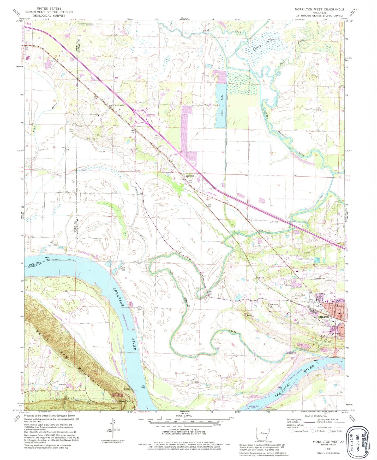
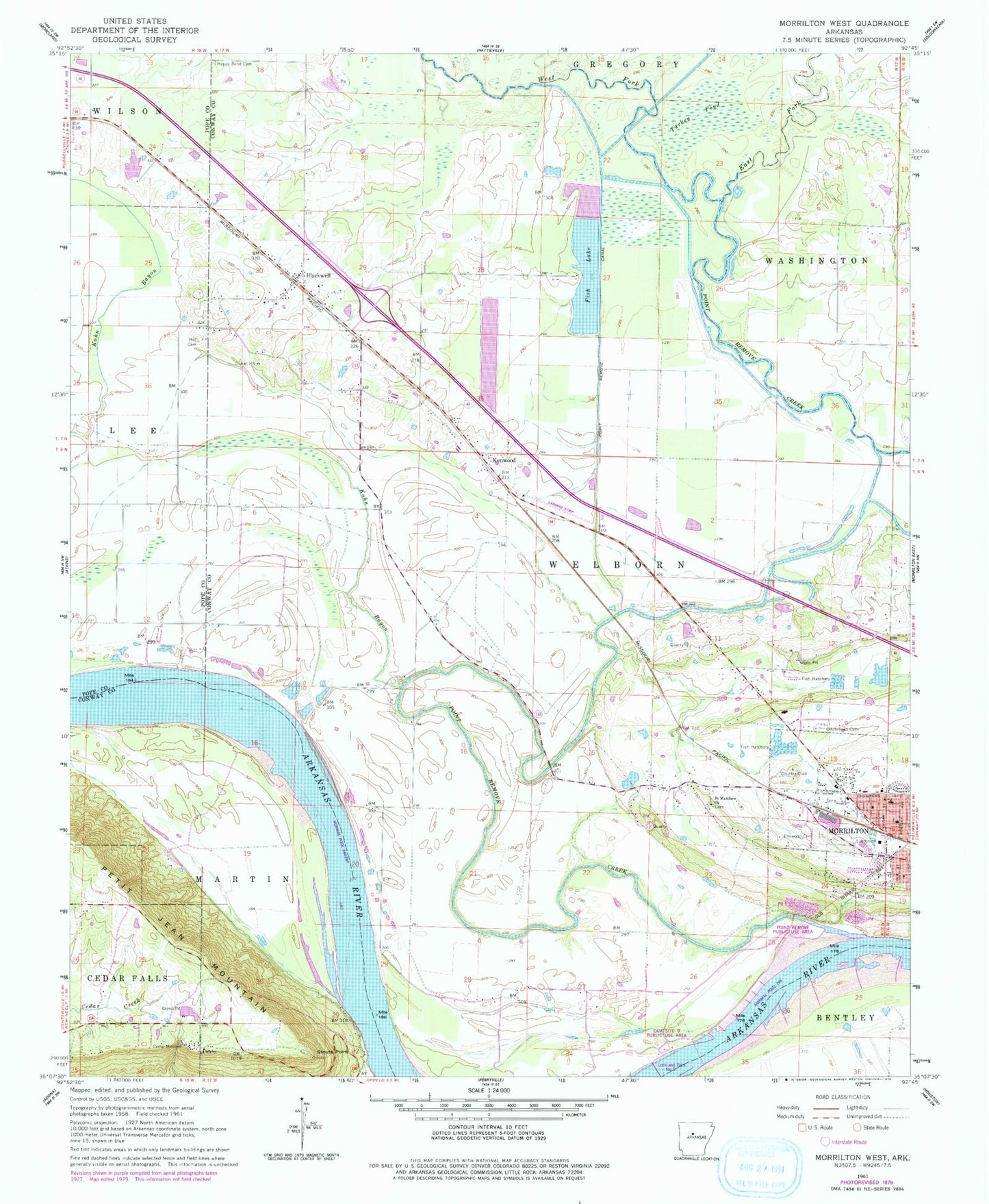
Classic USGS Morrilton West Arkansas 7.5'x7.5' Topo Map
Couldn't load pickup availability
Historical USGS topographic quad map of Morrilton West in the state of Arkansas. Map scale may vary for some years, but is generally around 1:24,000. Print size is approximately 24" x 27"
This quadrangle is in the following counties: Conway, Pope.
The map contains contour lines, roads, rivers, towns, and lakes. Printed on high-quality waterproof paper with UV fade-resistant inks, and shipped rolled.
Contains the following named places: Barns Branch, Blackwell, Blackwell - Kenwood Volunteer Fire Department, Camp Mitchell, Conway County Sheriff's Office, Country Estates, Dam Site 9 Public Use Area, Dowdie Bend, East Fork Point Remove Creek, Elmwood Cemetery, First Assembly of God Church, Fish Lake, Fish Lake Dam, Garden of Gethsemane United Church of God in Christ, Happy Bend Cemetery, Index, Kenwood, Kuhn Bayou, KVOM-AM (Morrilton), KVOM-FM (Morrilton), Linksweilers Bend, Lock and Dam Number Nine, Morrilton Airport, Point Remove Canal, Point Remove Creek, Point Remove Creek Old Channel, Point Remove Public Use Area, Pool Nine, Saint Matthew Church, Spring Meadows, Stouts Point, Township of Welborn, Turkey Pond, West Fork Point Remove Creek, West Side Kindergarten, West Side Kindergarten School, ZIP Code: 72110