MyTopo
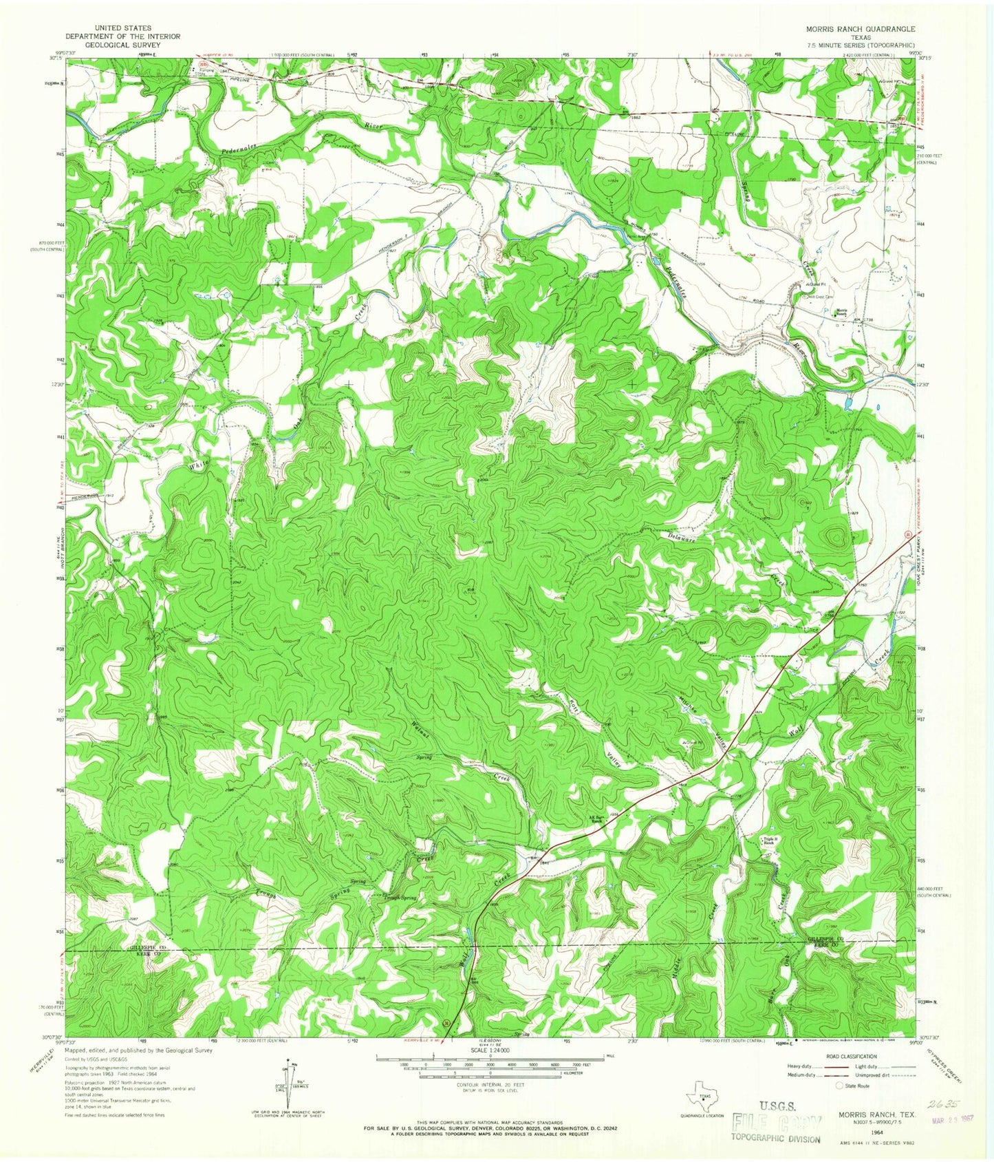
Classic USGS Morris Ranch Texas 7.5'x7.5' Topo Map
Couldn't load pickup availability
Historical USGS topographic quad map of Morris Ranch in the state of Texas. Map scale may vary for some years, but is generally around 1:24,000. Print size is approximately 24" x 27"
This quadrangle is in the following counties: Gillespie, Kerr.
The map contains contour lines, roads, rivers, towns, and lakes. Printed on high-quality waterproof paper with UV fade-resistant inks, and shipped rolled.
Contains the following named places: AK Bar Ranch, Burr Oak Creek, Delaware Creek, Devils Creek, Hill Crest Cemetery, Kott Valley, Middle Creek, Mitchke Valley, Morris Ranch, Morris Ranch Schoolhouse, Spring Creek, Triple H Ranch, Trough Spring, Trough Spring Creek, Walnut Creek, White Oak Airport, White Oak Creek