MyTopo
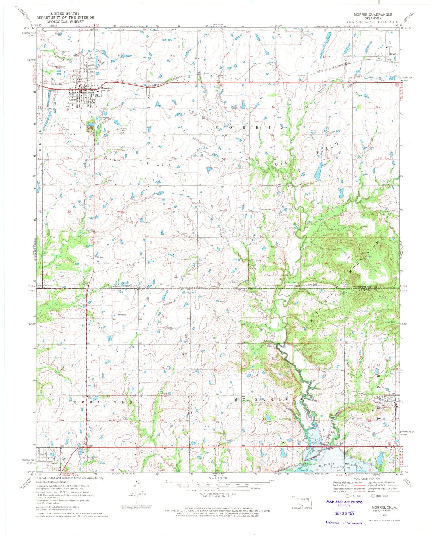
Classic USGS Morris Oklahoma 7.5'x7.5' Topo Map
Couldn't load pickup availability
Historical USGS topographic quad map of Morris in the state of Oklahoma. Map scale may vary for some years, but is generally around 1:24,000. Print size is approximately 24" x 27"
This quadrangle is in the following counties: McIntosh, Okmulgee.
The map contains contour lines, roads, rivers, towns, and lakes. Printed on high-quality waterproof paper with UV fade-resistant inks, and shipped rolled.
Contains the following named places: Church of Christ, City of Morris, Eram, First Baptist Church, First Christian Church Parsonage, Grave Creek Church, Grayson, Grayson Volunteer Fire Department, High Spring Mountains, Hitchita, Hitchita Area Fire Protection, Indian Cemetery, Methodist Church, Midway Elementary School, Morris, Morris Cemetery, Morris Elementary School, Morris Fire Department, Morris High School, Morris Middle School, Morris Police Department, Morris Post Office, Oknoname 111075 Dam, Oknoname 111075 Reservoir, Oknoname 111076 Dam, Oknoname 111076 Reservoir, Sacred Heart Cemetery, Sallisaw Creek Site 34 Dam, Sallisaw Creek Site 34 Reservoir, Town of Grayson, Town of Hitchita, Township of Morris, United Pentecostal Church, ZIP Code: 74438