MyTopo
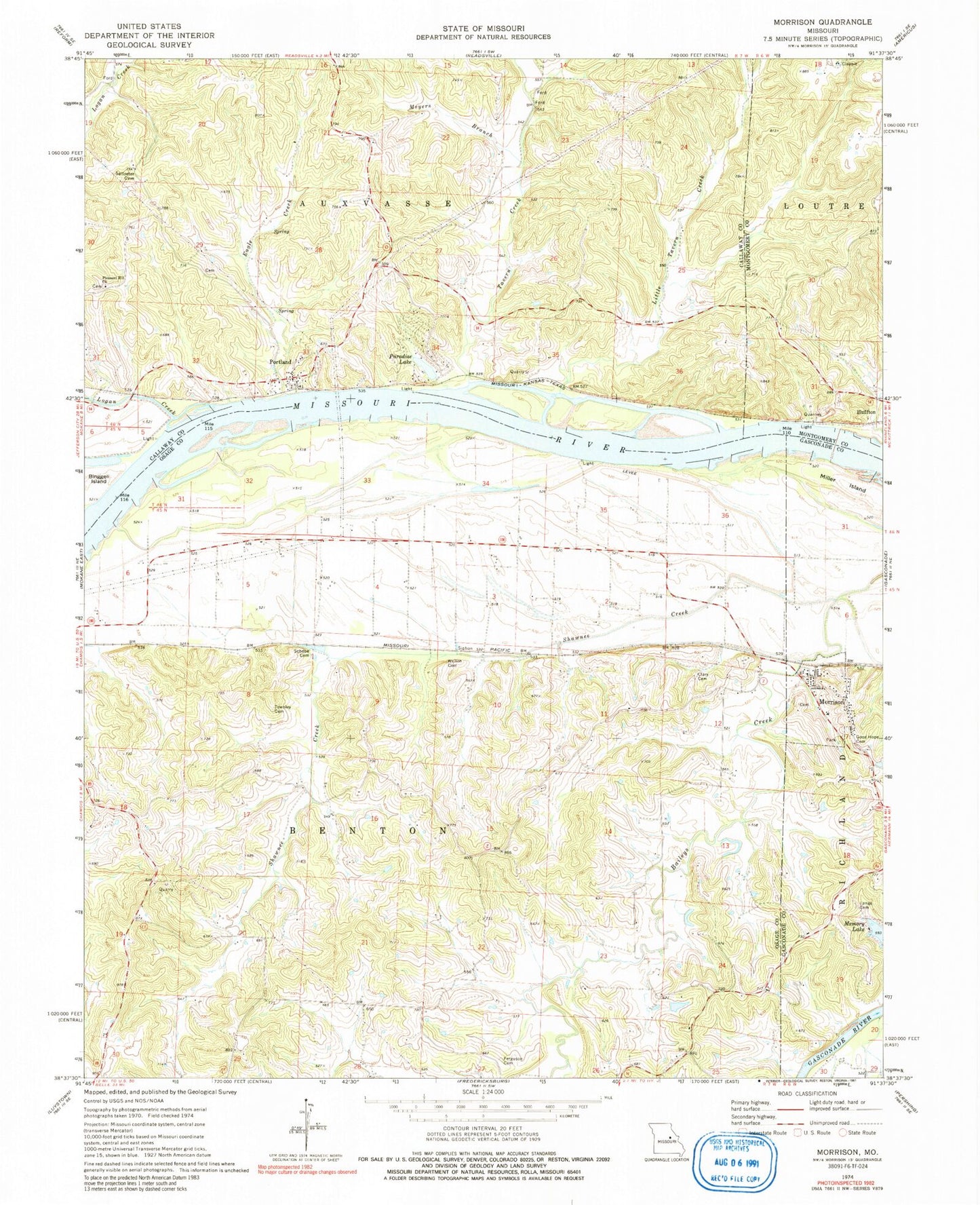
Classic USGS Morrison Missouri 7.5'x7.5' Topo Map
Couldn't load pickup availability
Historical USGS topographic quad map of Morrison in the state of Missouri. Map scale may vary for some years, but is generally around 1:24,000. Print size is approximately 24" x 27"
This quadrangle is in the following counties: Callaway, Gasconade, Montgomery, Osage.
The map contains contour lines, roads, rivers, towns, and lakes. Printed on high-quality waterproof paper with UV fade-resistant inks, and shipped rolled.
Contains the following named places: Adolph, Baker Dam, Baker Lake, Berger Bottom, Busse School, City of Morrison, Clary Cemetery, Dodd School, Eagle Creek, Ferguson Cemetery, Gibson School, Good Hope Cemetery, Heilburn, King School, Lange Cemetery, Lange School, Little Tavern Creek, Logan Creek, Meramec Planning Region, Meyers Branch, Miller Island, Mollie Dozier Chute, Morrison, Morrison Post Office, Morrison Volunteer Fire Department Headquarters, Paradise Lake, Paradise Lake Dam, Pleasant Hill Church, Portage, Portland, Portland Post Office, Portland School, Rost School, Schobe Cemetery, Shawnee Creek, Shawnee Creek Church, Shawnee Creek School, Shobes Branch, South Callaway Fire Protection District Station 3, Starke School, Synthianna Creek, Tavern Creek, Tavern Hill School, Townley Cemetery, Township of Benton, Welton Cemetery


