MyTopo
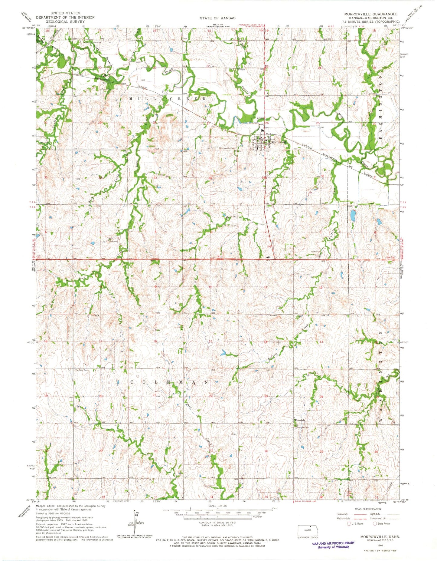
Classic USGS Morrowville Kansas 7.5'x7.5' Topo Map
Couldn't load pickup availability
Historical USGS topographic quad map of Morrowville in the state of Kansas. Map scale may vary for some years, but is generally around 1:24,000. Print size is approximately 24" x 27"
This quadrangle is in the following counties: Washington.
The map contains contour lines, roads, rivers, towns, and lakes. Printed on high-quality waterproof paper with UV fade-resistant inks, and shipped rolled.
Contains the following named places: Bowman Creek, Buffalo Creek, City of Morrowville, Dale Friends Cemetery, Dewitt, Enosdale, Fairfield Cemetery, Gray Branch, Iowa Creek, Jones Creek, Melvin Creek, Morrowville, Morrowville Cemetery, Morrowville Fire District 8, Morrowville Post Office, Morrowville Wastewater Plant, North Central High School, Riddle Creek, Salt Creek, Stub Creek, Township of Coleman, Township of Mill Creek, Turkey Creek