MyTopo
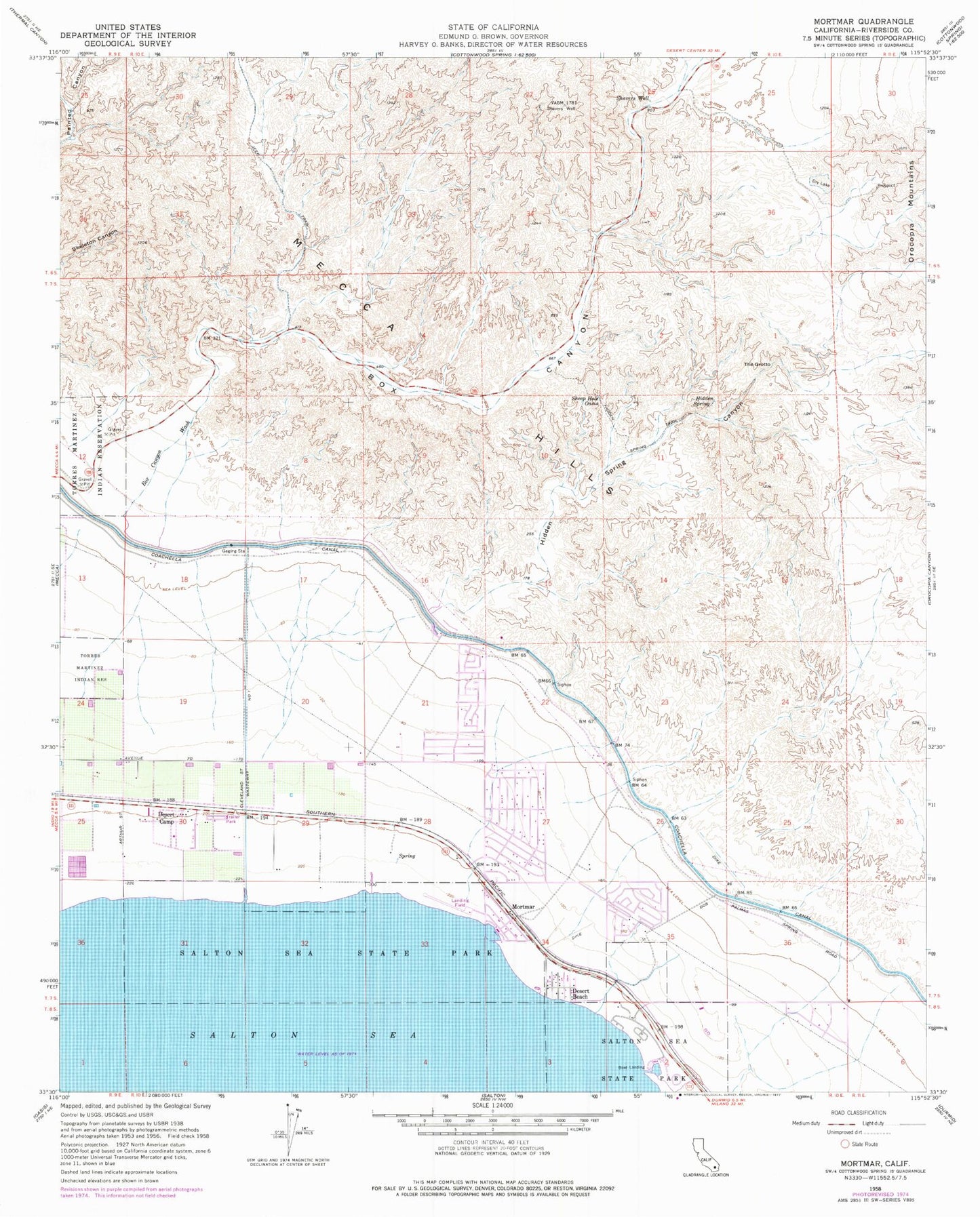
Classic USGS Mortmar California 7.5'x7.5' Topo Map
Couldn't load pickup availability
Historical USGS topographic quad map of Mortmar in the state of California. Typical map scale is 1:24,000, but may vary for certain years, if available. Print size: 24" x 27"
This quadrangle is in the following counties: Riverside.
The map contains contour lines, roads, rivers, towns, and lakes. Printed on high-quality waterproof paper with UV fade-resistant inks, and shipped rolled.
Contains the following named places: Box Canyon, Hidden Spring, Hidden Spring Canyon, Hidden Spring Trail, Mecca Hills, Shavers Valley, Shavers Well, Sheep Hole Oasis, The Grotto, Blake Hill, Desert Beach, Desert Camp, Mortmar, Los Frijoles Campground, North Shore Marina, Salton Sea State Recreation Area Headquarters Visitor Center, Sneaker Beach, Varner Harbor, Mecca Hills Wilderness, North Shore Airport (historical), North Shore Census Designated Place, Riverside County Fire Department Station 41 North Shore