MyTopo
Classic USGS Moscow Tennessee 7.5'x7.5' Topo Map
Couldn't load pickup availability
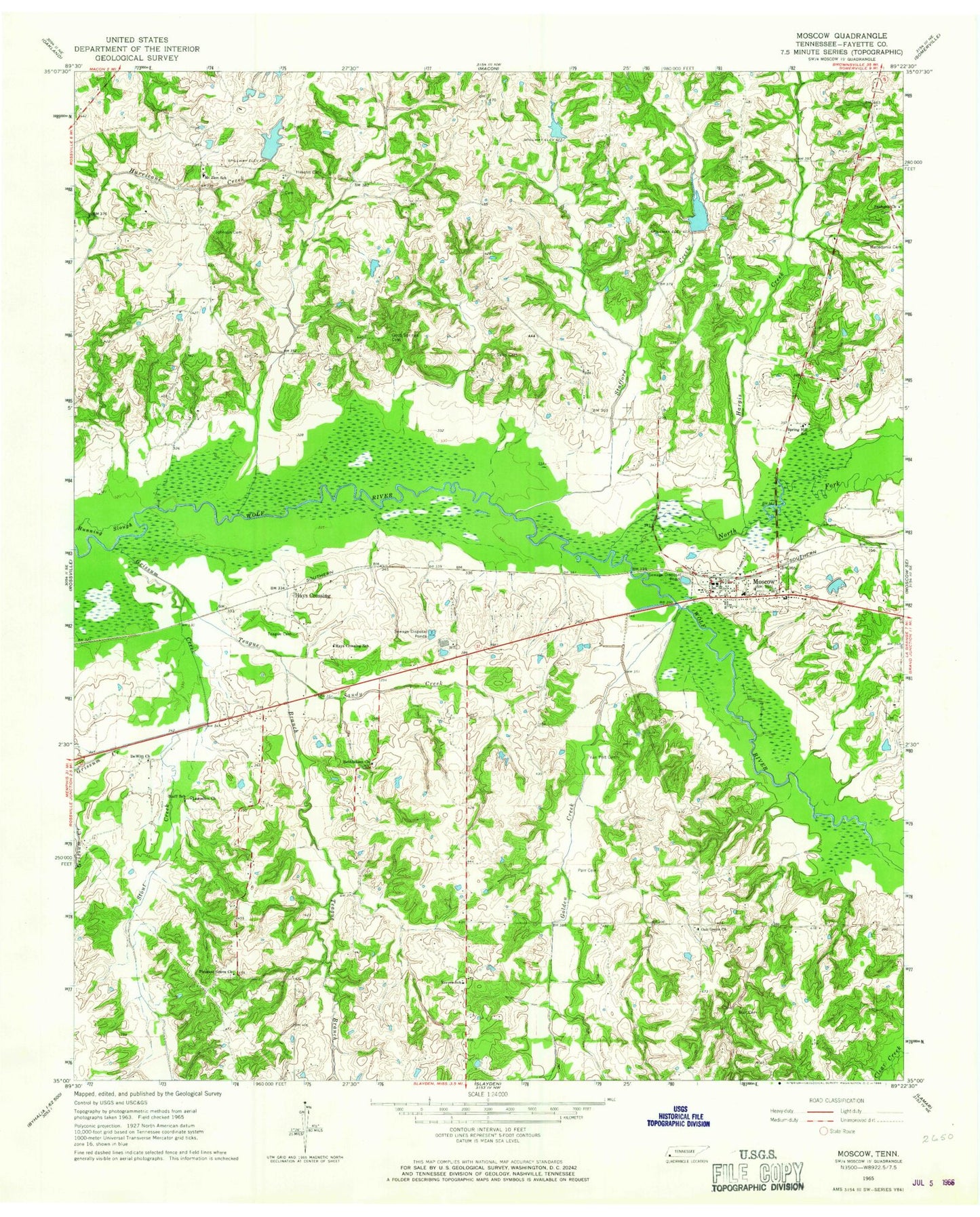
Historical USGS topographic quad map of Moscow in the state of Tennessee. Map scale may vary for some years, but is generally around 1:24,000. Print size is approximately 24" x 27"
This quadrangle is in the following counties: Fayette.
The map contains contour lines, roads, rivers, towns, and lakes. Printed on high-quality waterproof paper with UV fade-resistant inks, and shipped rolled.
Contains the following named places: Bethlehem Cemetery, Bethlehem Church, Bluff School, Bull Cemetery, Burnette Lake, Burnette Lake Dam, Butch McNabb Lake, City of Moscow, Clear Creek, DeWitt Church, DeWitt School, Dickerson Church, Fair View School, Fayette County Fire Department Moscow District 9 Station, Fredonia Cemetery, Fredonia Church, Golden Creek, Good Spring Church, Good Spring School, Good Springs Cemetery, Grissum Creek, Hargis Creek, Hays, Hays Crossing, Hays Crossing School, Heaslet Cemetery, Johnson Cemetery, Kimery Lake, Lagoshen Church, Lucas Church, Mitchell Lake, Mitchell Lake Dam, Morris Memorial Baptist Church, Moscow, Moscow City Hall, Moscow Police Department, Moscow Post Office, Moscow School, Moscow United Methodist Church, Moscow-Springhill Elementary School, Mount Zion Cemetery, Mount Zion Church, Mount Zion School, North Fork Wolf River, Oak Grove Baptist Church, Oak Grove Cemetery, Oak Grove School, Parr Cemetery, Parr School, Pleasant Grove Cemetery, Pleasant Grove Church, Pleasant Grove School, R L Lewis Dam, R L Lewis Lake, Reeves School, Sales Cemetery, Sales School, Sand Creek Pilot Watershed Dam Number One, Sand Creek Watershed Dam Number Two, Sandy Creek, Simmon School, Society Hall, Spring Hill Church, Stafford Creek, Stout Creek, Teague Branch, Teague Cemetery, Van Pelt Cemetery


