MyTopo
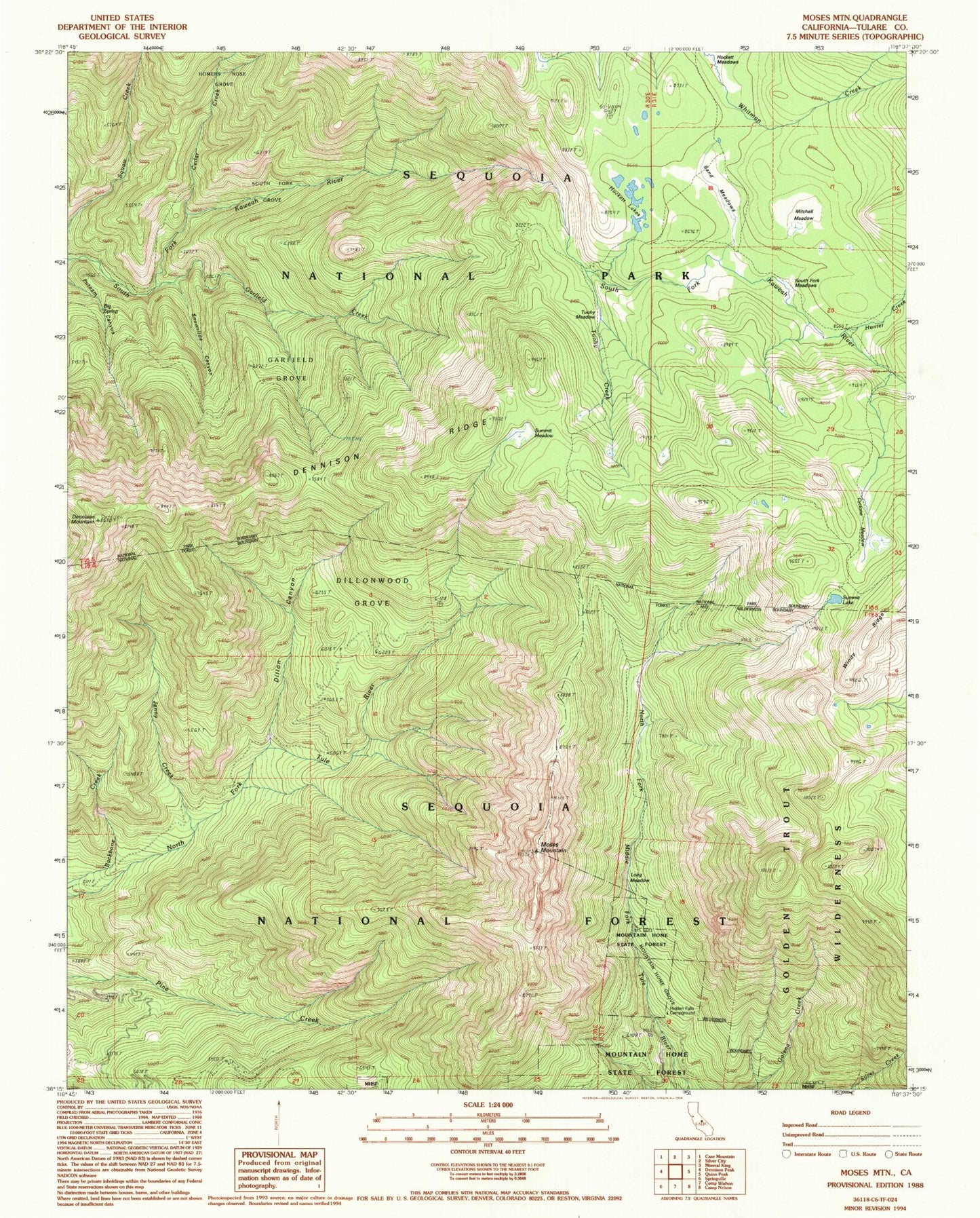
Classic USGS Moses Mountain California 7.5'x7.5' Topo Map
Couldn't load pickup availability
Historical USGS topographic quad map of Moses Mountain in the state of California. Typical map scale is 1:24,000, but may vary for certain years, if available. Print size: 24" x 27"
This quadrangle is in the following counties: Tulare.
The map contains contour lines, roads, rivers, towns, and lakes. Printed on high-quality waterproof paper with UV fade-resistant inks, and shipped rolled.
Contains the following named places: Homers Nose Grove, Big Spring, Cedar Creek, Cyclone Meadow, Dennison Mountain, Dennison Ridge, Dillonwood Grove, Garfield Creek, Garfield Grove, Hockett Lakes, Hunter Creek, Jenny Creek, Long Meadow, Mitchell Meadow, Moses Mountain, Sand Meadows, Snowslide Canyon, South Fork Grove, South Fork Meadows, Summit Lake, Summit Meadow, Tuohy Meadow, Dillion Mill (historical), Sheep Mountain, Hidden Falls Campground, Dillon Canyon


