MyTopo
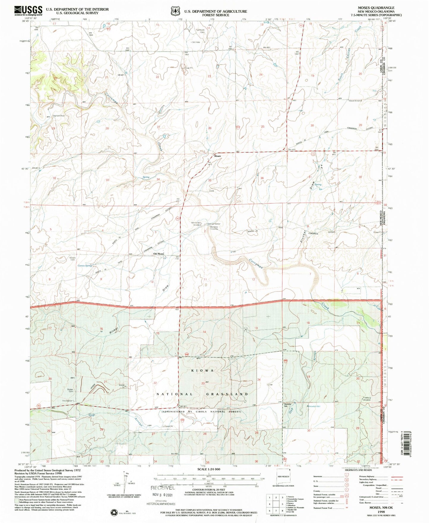
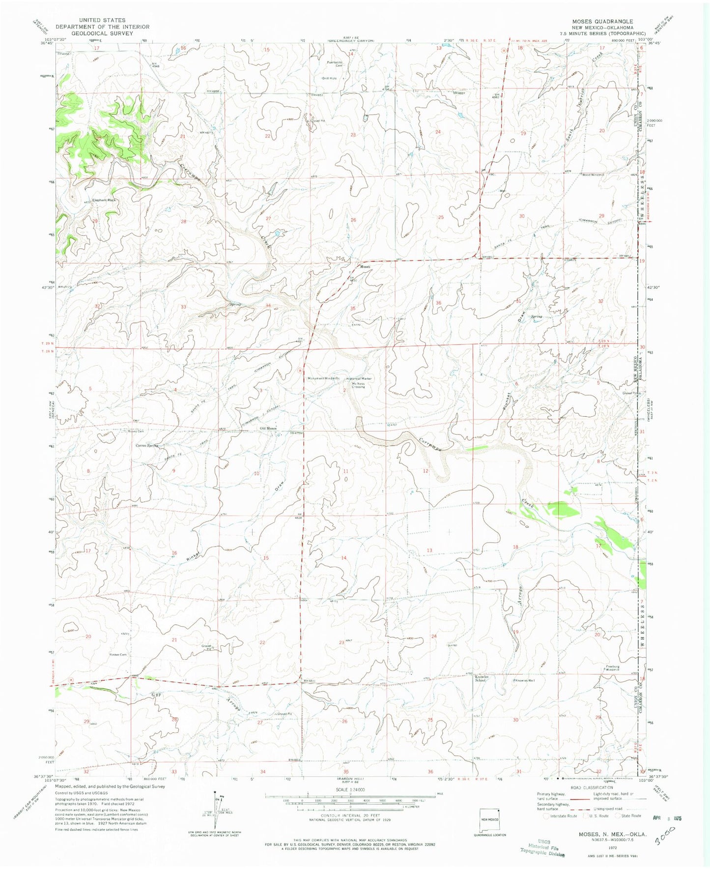
Classic USGS Moses New Mexico 7.5'x7.5' Topo Map
Couldn't load pickup availability
Historical USGS topographic quad map of Moses in the state of New Mexico. Map scale may vary for some years, but is generally around 1:24,000. Print size is approximately 24" x 27"
This quadrangle is in the following counties: Cimarron, Union.
The map contains contour lines, roads, rivers, towns, and lakes. Printed on high-quality waterproof paper with UV fade-resistant inks, and shipped rolled.
Contains the following named places: Baker Cemetery, Correo Spring, Elephant Rock, Freeburg Windmill, Gyp Arroyo, Knowles School, Knowles Well, McNees Crossing, Monument Windmill, Moses, Moses Cemetery, Moses Post Office, Old Moses, Plunket Draw, Puertocito Cemetery, Rabbit Ear Fire Department Seneca Station, Rinker Cemetery, Rinker Draw, Wood Windmill