MyTopo
Classic USGS Mosinee Wisconsin 7.5'x7.5' Topo Map
Couldn't load pickup availability
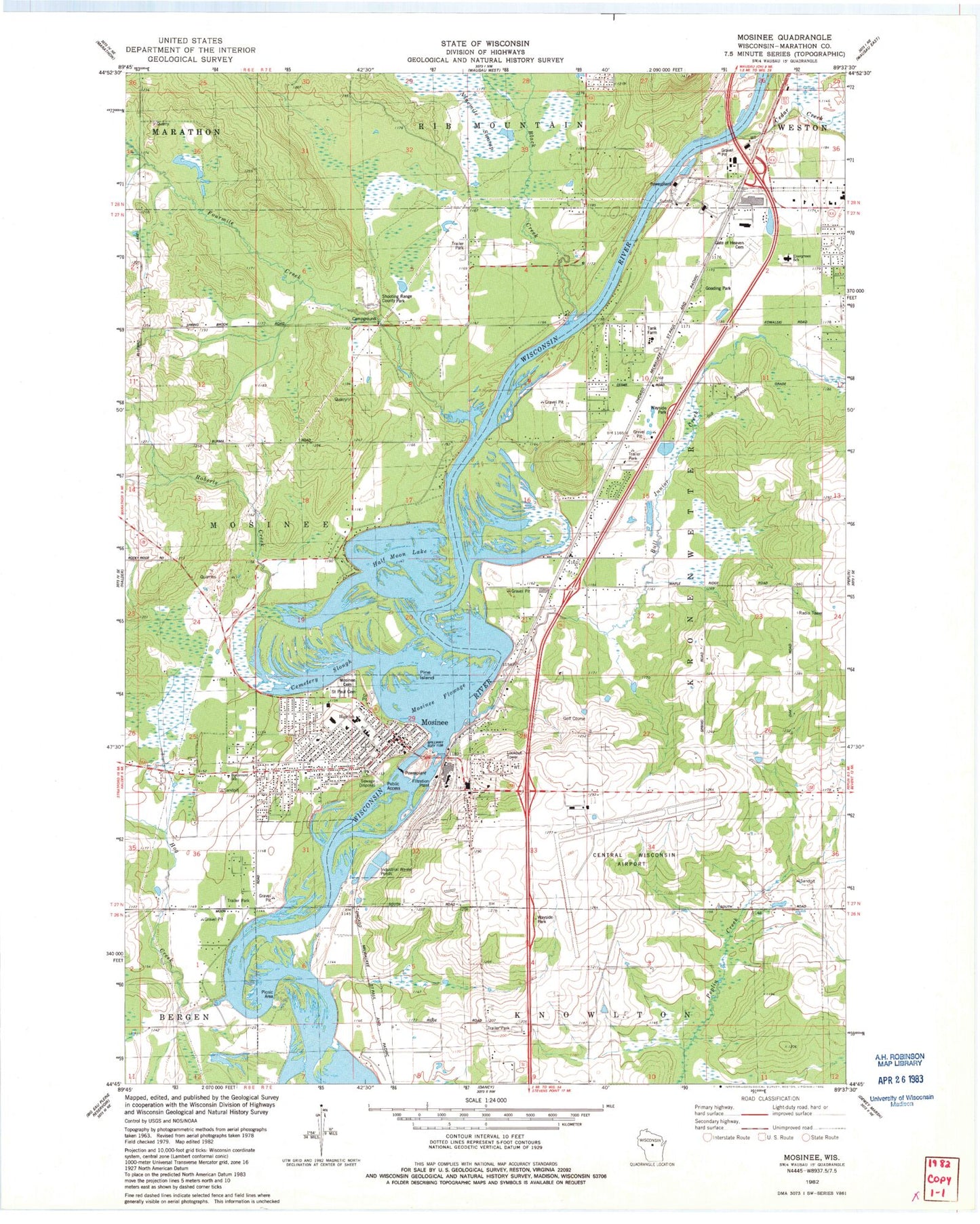
Historical USGS topographic quad map of Mosinee in the state of Wisconsin. Typical map scale is 1:24,000, but may vary for certain years, if available. Print size: 24" x 27"
This quadrangle is in the following counties: Marathon.
The map contains contour lines, roads, rivers, towns, and lakes. Printed on high-quality waterproof paper with UV fade-resistant inks, and shipped rolled.
Contains the following named places: Black Creek, Mosinee Elementary School, Bull Junior Creek, Cedar Creek, Cemetery Slough, Fourmile Creek, Gooding Park, Half Moon Lake, Hog Creek, Liberty School (historical), Mosinee, Mosinee Cemetery, Mosinee Flowage, Pine Island, Roberts Creek, Saint Paul Cemetery, Iron Creek, Mosinee Lookout Tower, Central Wisconsin Airport, City of Mosinee, Mosinee 1893C138 Dam, Mosinee Flowage 4126, Crossroads Apostolic Bible Church, Evergreen Elementary School, Fellowship Baptist Church, Gate of Heaven Cemetery, Good News Baptist Church, Immanuel Lutheran Church, Indianhead Golf Course, Joseph Dessert Library, Karl Mathie House, Mosinee Elementary School, Mosinee High School, Mosinee Middle School, Our Saviors Catholic Church, Saint James Episcopal Church, Saint John Lutheran Church, Saint Pauls Catholic Church, Saint Paul Catholic School, Shooting Range County Park, Evergreen, Paine School (historical), Victor School (historical), Weston Power Plant, Mosinee Fire Department, Kronenwetter Village Fire Department, Northland Lutheran High School, Wisconsin Valley Lutheran High School, Mosinee Wastewater Treatment Plant, Mosinee Post Office, Mosinee Police Department, Kronenwetter Police Department, Birch Flowage


