MyTopo
Classic USGS Mosquito Lake Wyoming 7.5'x7.5' Topo Map
Regular price
$16.95
Regular price
Sale price
$16.95
Unit price
per
Couldn't load pickup availability
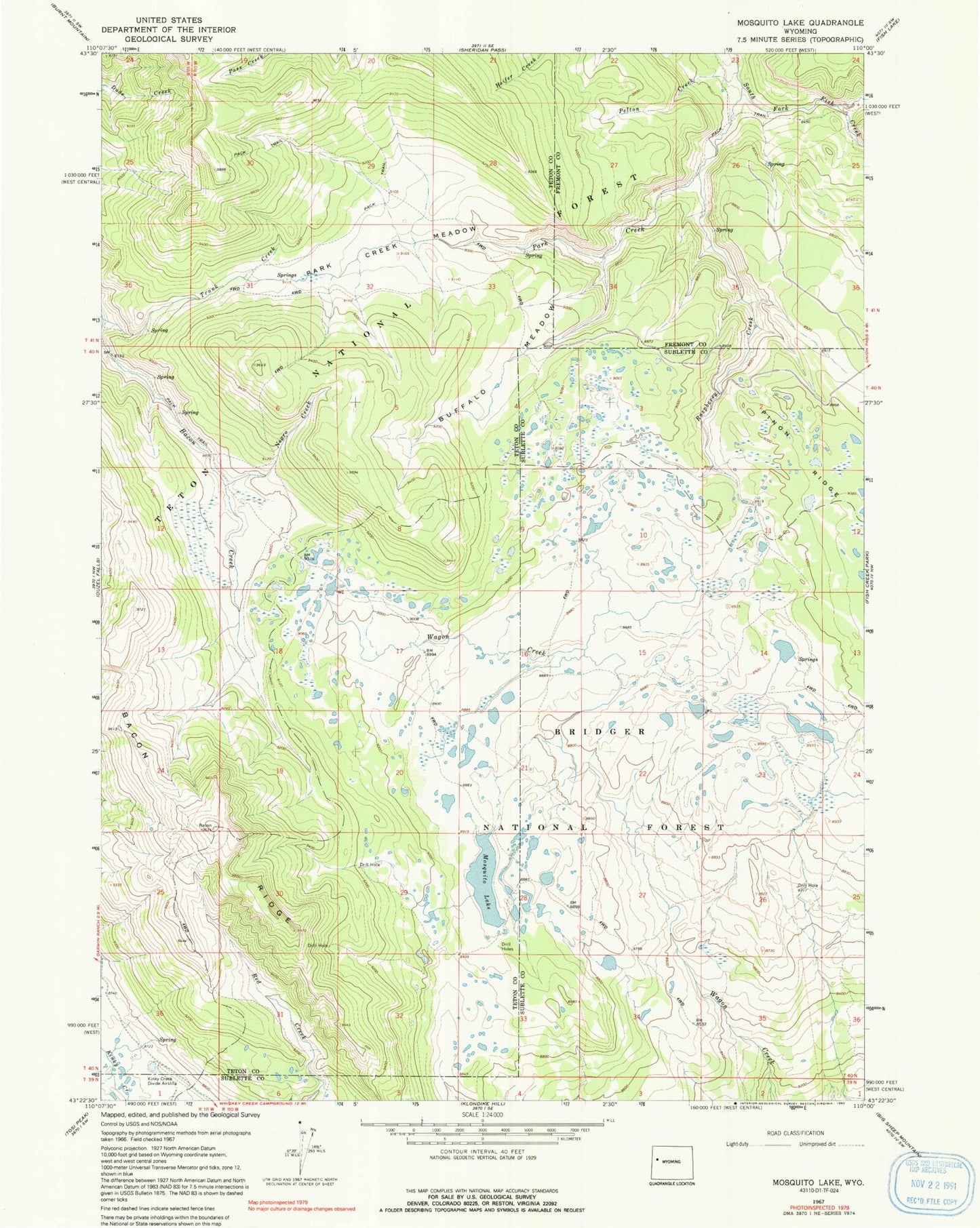
Historical USGS topographic quad map of Mosquito Lake in the state of Wyoming. Map scale may vary for some years, but is generally around 1:24,000. Print size is approximately 24" x 27"
This quadrangle is in the following counties: Fremont, Sublette, Teton.
The map contains contour lines, roads, rivers, towns, and lakes. Printed on high-quality waterproof paper with UV fade-resistant inks, and shipped rolled.
Contains the following named places: Bacon Ridge, Buffalo Meadow, Kinky Creek Divide Airport, Leeds Creek, Mosquito Lake, Negro Creek, Park Creek, Park Creek Meadow, Pass Creek Trail, Pelton Creek, Raspberry Creek