MyTopo
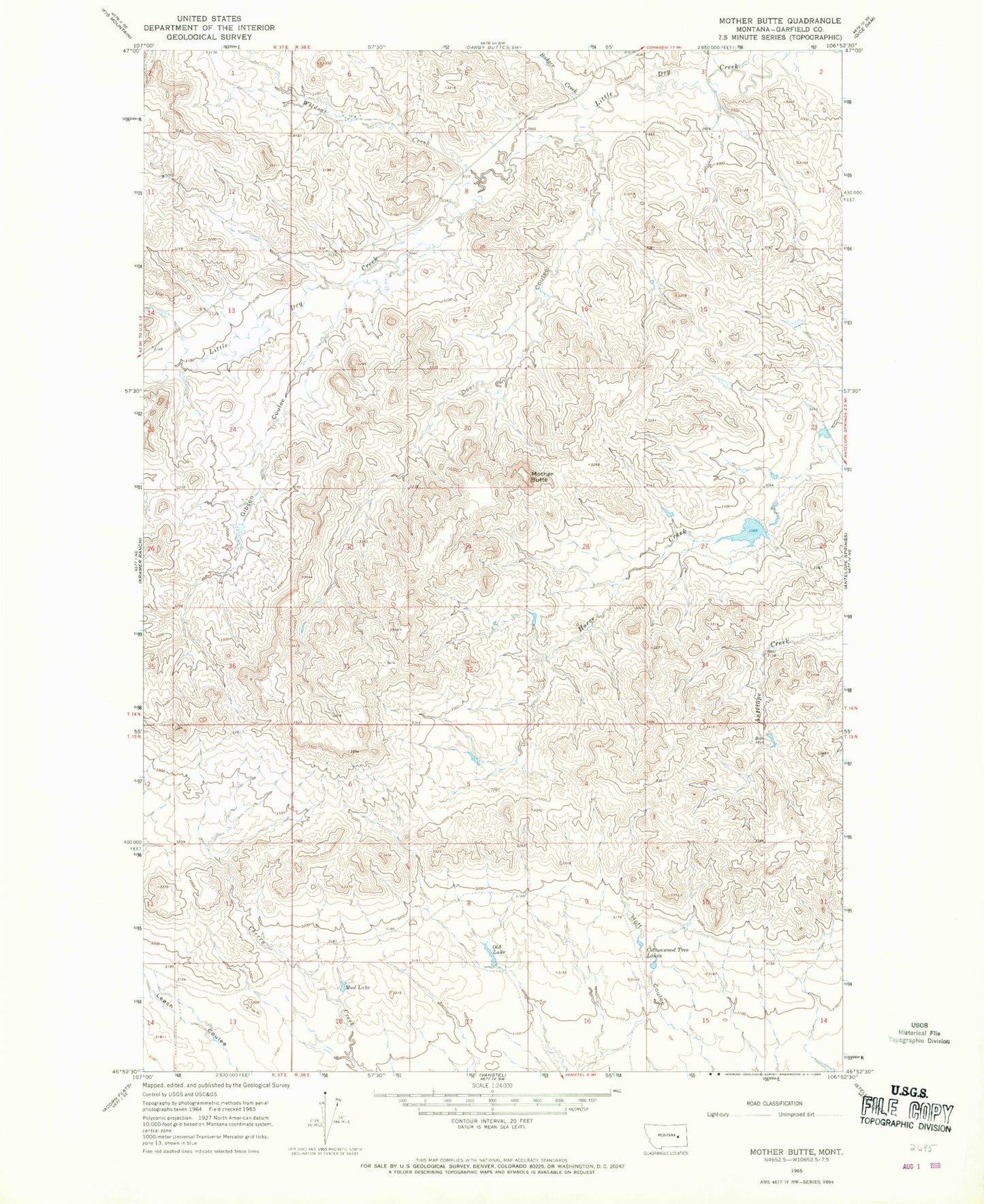
Classic USGS Mother Butte Montana 7.5'x7.5' Topo Map
Regular price
$16.95
Regular price
Sale price
$16.95
Unit price
per
Couldn't load pickup availability
Historical USGS topographic quad map of Mother Butte in the state of Montana. Map scale may vary for some years, but is generally around 1:24,000. Print size is approximately 24" x 27"
This quadrangle is in the following counties: Garfield.
The map contains contour lines, roads, rivers, towns, and lakes. Printed on high-quality waterproof paper with UV fade-resistant inks, and shipped rolled.
Contains the following named places: Badger Creek, Brooks Number 1 Dam, Cottonwood Tree Lakes, Deer Coulee, Gibson Coulee, Grisdella, Grisdella Post Office, Mother Butte, Mud Lake, Old Lake, Wildcat Creek, Wolf Creek