MyTopo
Classic USGS Motoqua Utah 7.5'x7.5' Topo Map
Regular price
$16.95
Regular price
Sale price
$16.95
Unit price
per
Couldn't load pickup availability
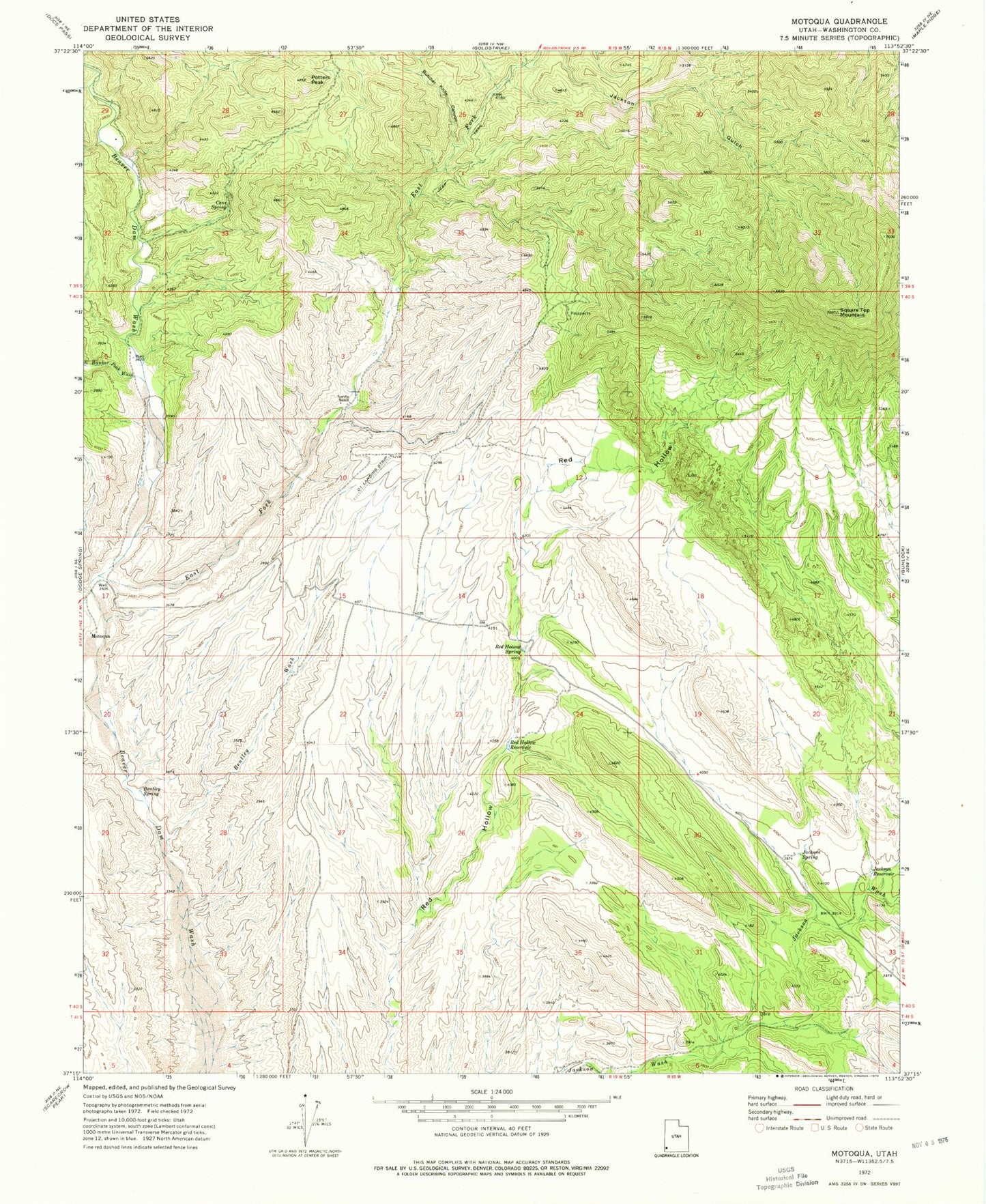
Historical USGS topographic quad map of Motoqua in the state of Utah. Typical map scale is 1:24,000, but may vary for certain years, if available. Print size: 24" x 27"
This quadrangle is in the following counties: Washington.
The map contains contour lines, roads, rivers, towns, and lakes. Printed on high-quality waterproof paper with UV fade-resistant inks, and shipped rolled.
Contains the following named places: East Bunker Peak Wash, Bentley Spring, Bentley Wash, Cane Spring, Horse Canyon, Jackson Reservoir, Jackson Spring, Nordin Ranch, Potters Peak, Red Hollow Reservoir, Red Hollow Spring, Square Top Mountain, Motoqua, Butcher Knife Canyon, East Fork Beaver Dam Wash, Mormon Range