MyTopo
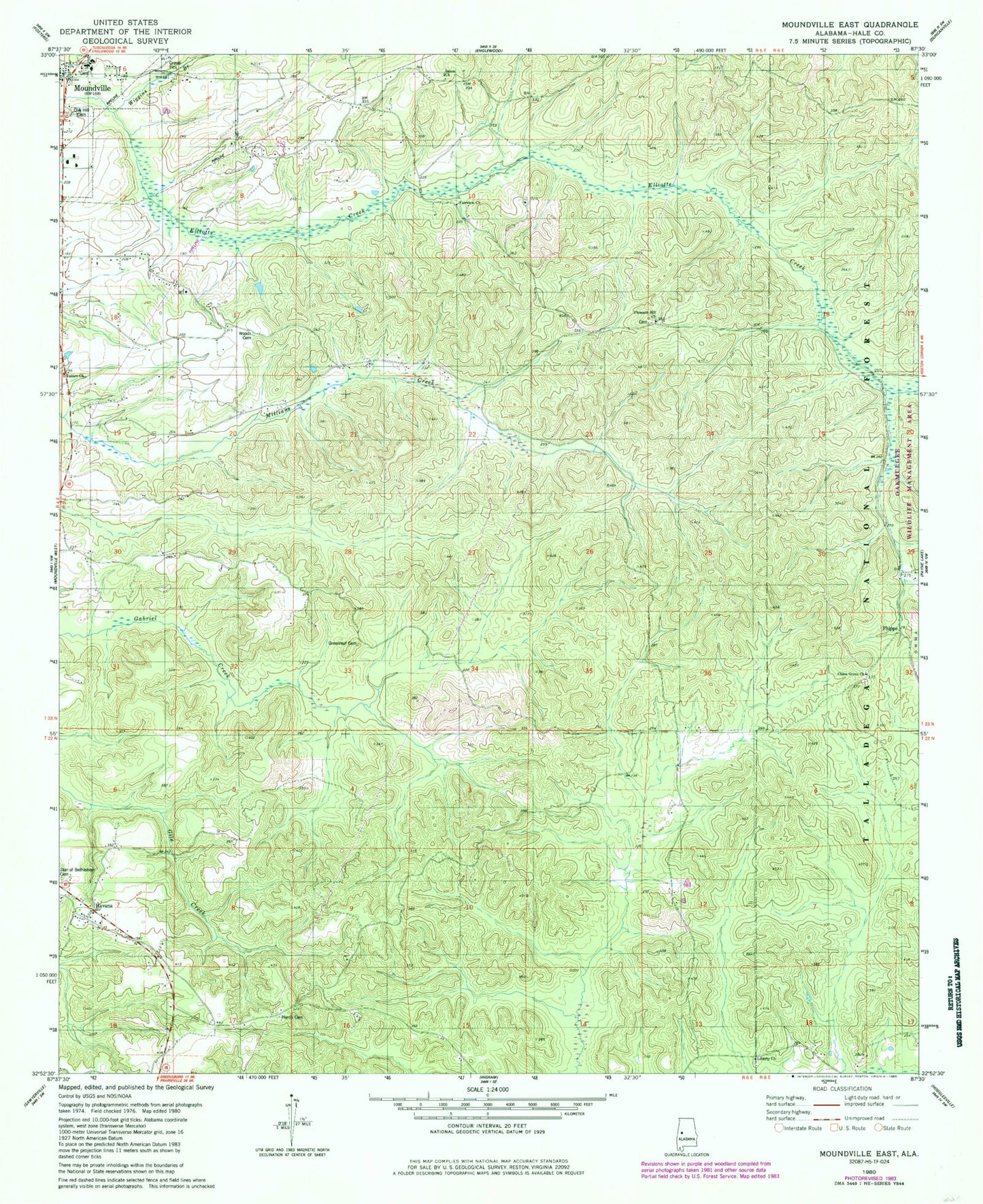
Classic USGS Moundville East Alabama 7.5'x7.5' Topo Map
Couldn't load pickup availability
Historical USGS topographic quad map of Moundville East in the state of Alabama. Map scale may vary for some years, but is generally around 1:24,000. Print size is approximately 24" x 27"
This quadrangle is in the following counties: Hale.
The map contains contour lines, roads, rivers, towns, and lakes. Printed on high-quality waterproof paper with UV fade-resistant inks, and shipped rolled.
Contains the following named places: Camp Ground School, Carthage Church, Carthage Presbyterian Church Cemetery, China Grove Cemetery, China Grove Church, Church of Christ, Elliot Creek School, Fairview Church, Fairview School, Green Springs School, Greenleaf Cemetery, Greenleaf School, Hale County High School, Harris Cemetery, Havana, Havana Church, Kings School, Lewis Cemetery, Lewis Church, Lewis School, Liberty Cemetery, Liberty Church, Moundville Division, Moundville United Methodist Church, Oak Hill Cemetery, Patten Chapel, Phipps, Pleasant Hill Cemetery, Pleasant Hill Methodist Church, Salem Church, Stewart - Havana Volunteer Fire Department Station 2, Tubbs School, Wiggins Branch, Woods Cemetery, ZIP Code: 35474