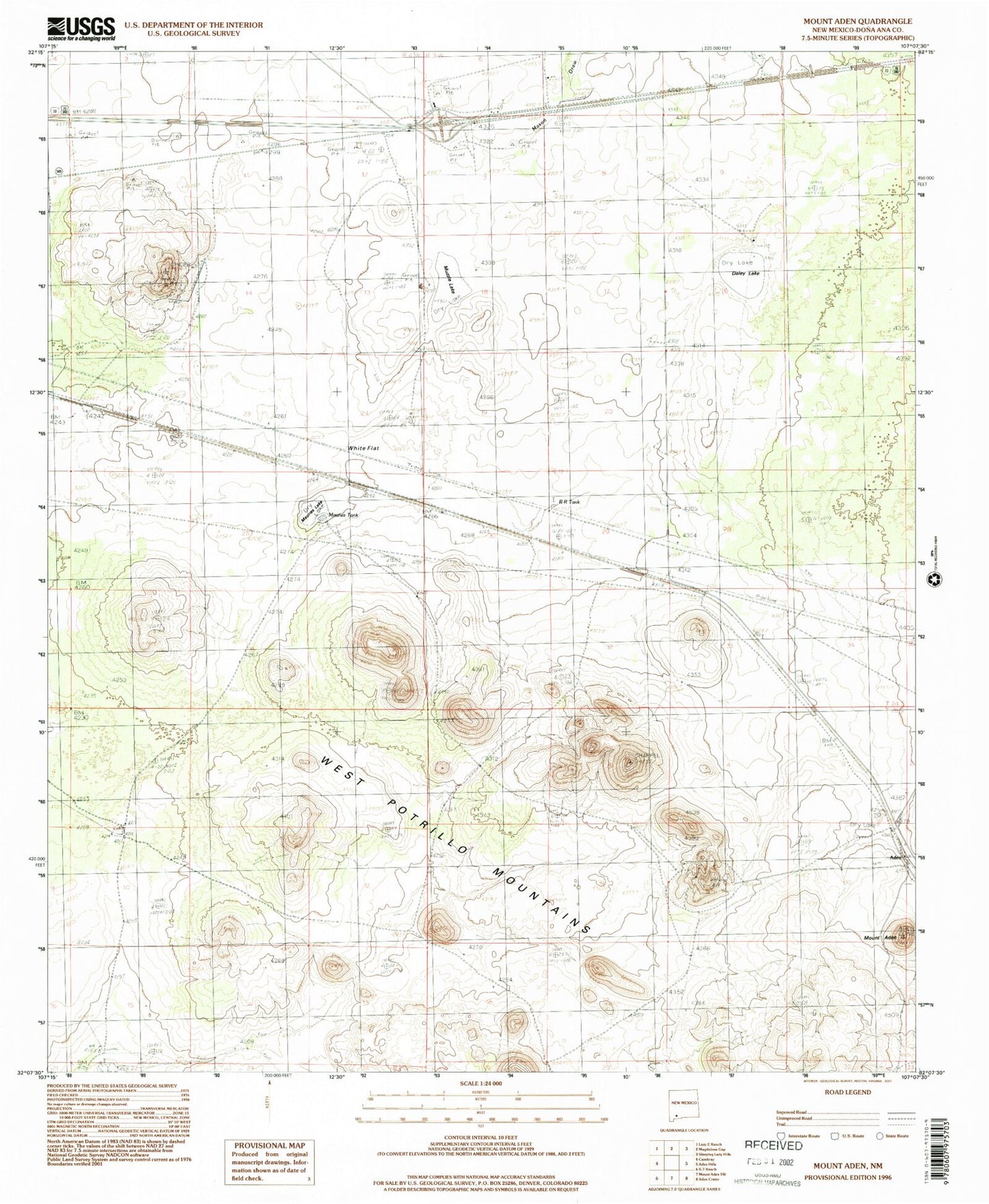
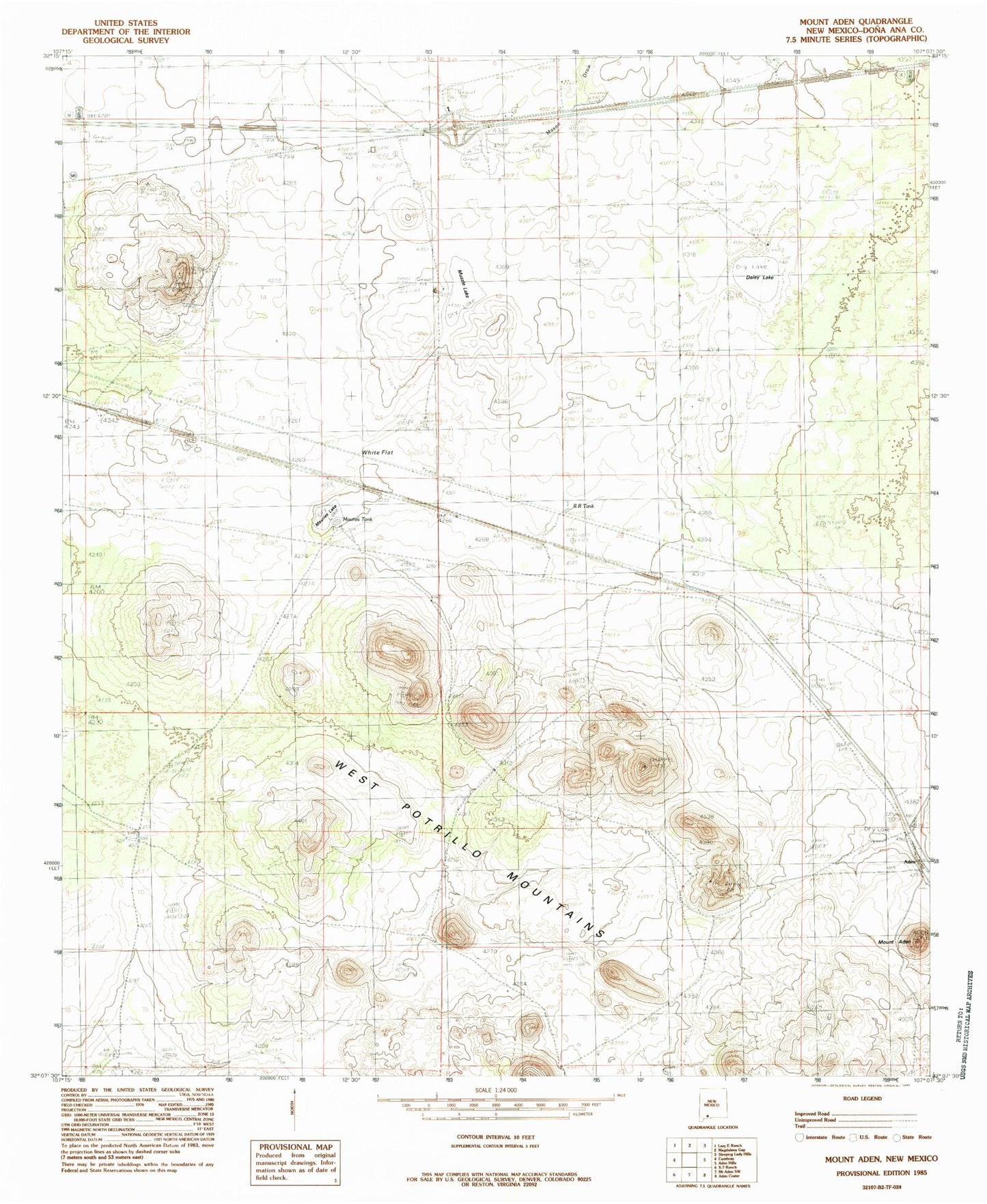
MyTopo
Classic USGS Mount Aden New Mexico 7.5'x7.5' Topo Map
Couldn't load pickup availability
Historical USGS topographic quad map of Mount Aden in the state of New Mexico. Map scale may vary for some years, but is generally around 1:24,000. Print size is approximately 24" x 27"
This quadrangle is in the following counties: Do��a Ana.
The map contains contour lines, roads, rivers, towns, and lakes. Printed on high-quality waterproof paper with UV fade-resistant inks, and shipped rolled.
Contains the following named places: Aden, Aden Mountain, Aden Post Office, Allen Ranch, Biggs Wells, Brass Ranch, Burris E Station Airport, Chappel, Dalry Lake, Lazy E Bar Water Well, Longview School, Mason Draw, Mauries Lake, Mauries Tank, Muzzle Lake, New Pipeline Tub, R R Tank, West Line Well, White Flat, X X Mill