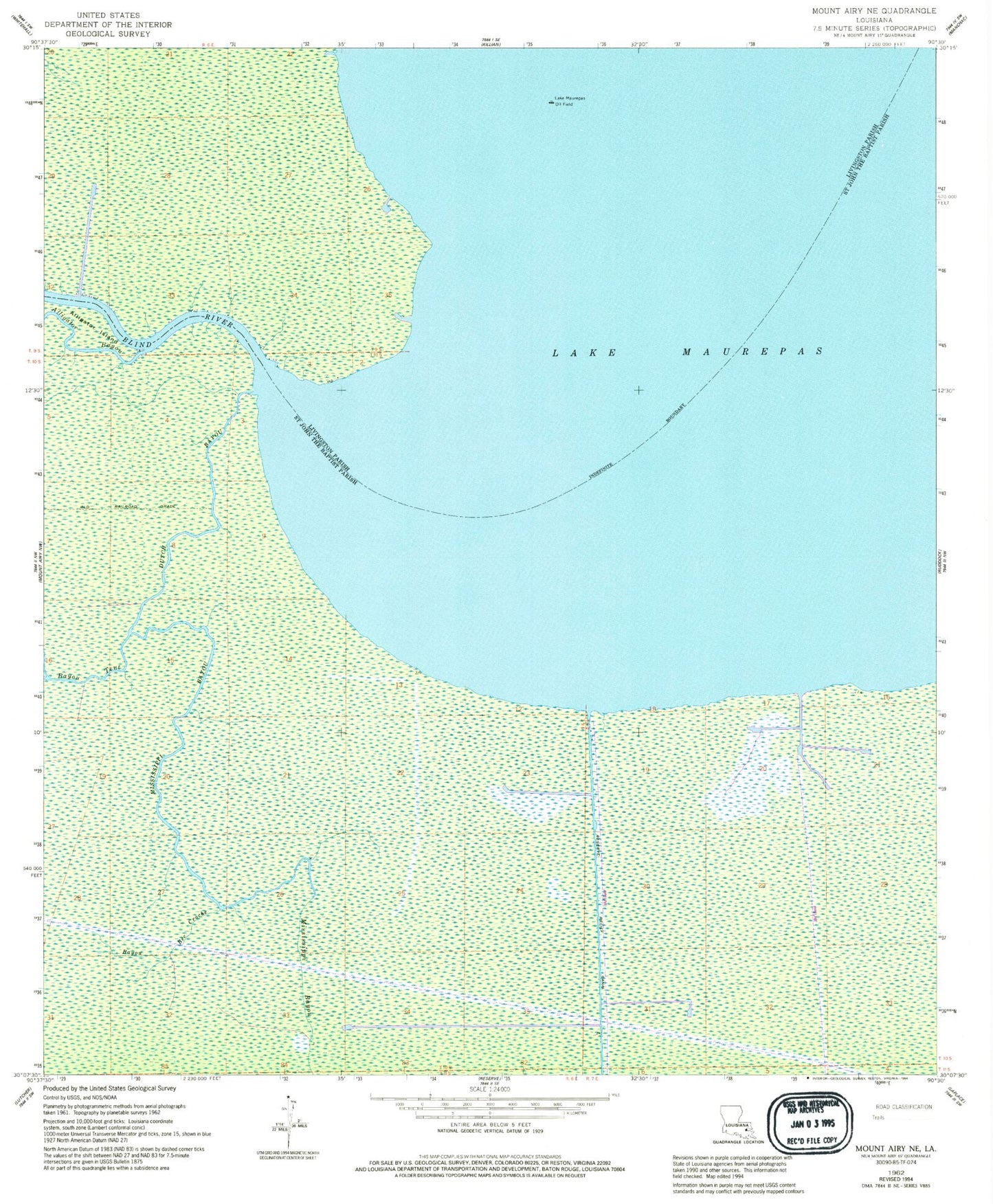
MyTopo
Classic USGS Mount Airy NE Louisiana 7.5'x7.5' Topo Map
Regular price
$16.95
Regular price
Sale price
$16.95
Unit price
per
Couldn't load pickup availability
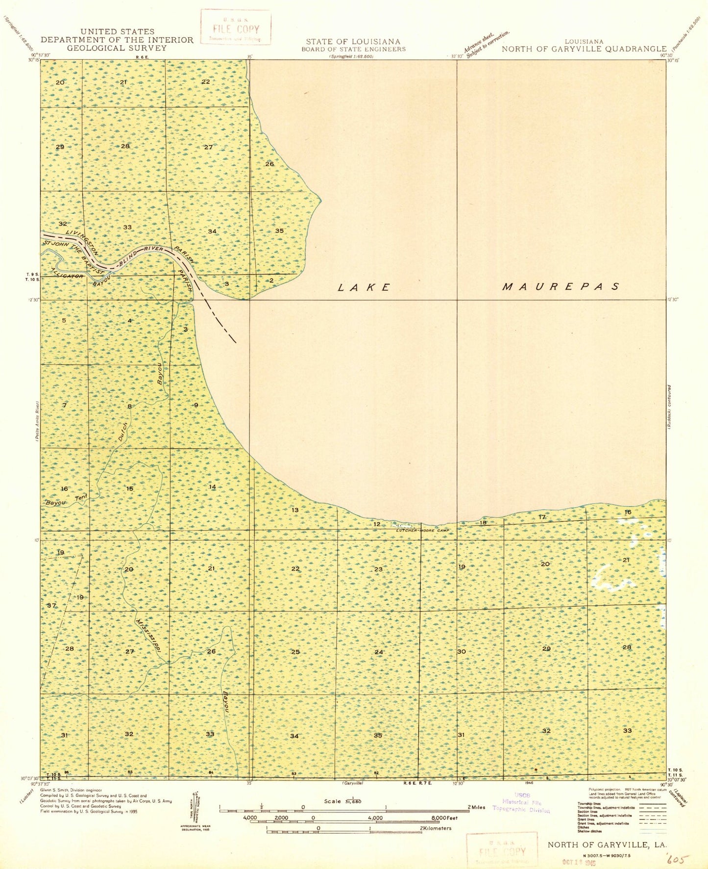
Historical USGS topographic quad map of Mount Airy NE in the state of Louisiana. Map scale may vary for some years, but is generally around 1:24,000. Print size is approximately 24" x 27"
This quadrangle is in the following counties: Livingston, St. John the Baptist.
The map contains contour lines, roads, rivers, towns, and lakes. Printed on high-quality waterproof paper with UV fade-resistant inks, and shipped rolled.
Contains the following named places: Alligator Bayou, Bayou Bec Croche, Bayou Tent, Big Cypress Point, Blind Rigolets, Blind River, Dutch Bayou, Lake Maurepas Oil Field, Little Cypress Point, Mississippi Bayou, Parish Governing Authority District 2, South Lake Maurepas Gas Field