MyTopo
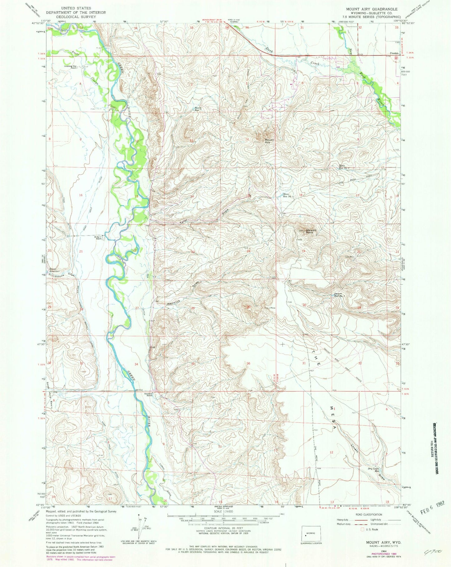
Classic USGS Mount Airy Wyoming 7.5'x7.5' Topo Map
Couldn't load pickup availability
Historical USGS topographic quad map of Mount Airy in the state of Wyoming. Map scale may vary for some years, but is generally around 1:24,000. Print size is approximately 24" x 27"
This quadrangle is in the following counties: Sublette.
The map contains contour lines, roads, rivers, towns, and lakes. Printed on high-quality waterproof paper with UV fade-resistant inks, and shipped rolled.
Contains the following named places: Ada Ditch, Basin Reservoir, Desert Reservoir Number 2, Dry Lake Reservoir, Duck Creek, Grindstone Draw, Grubbing Hoe Ranch, H Bar C Ranch, Hennick Draw, Mesa Reservoir Number 1, Mesa Reservoir Number 2, Mount Airy, Mount Airy Drift Fence, Poole Slough, Soap Hole Ditch, Sommers Ranch, Stewart Point, Sublette County, Tyler Draw, Wyoming Highway Patrol District 3 Division T