MyTopo
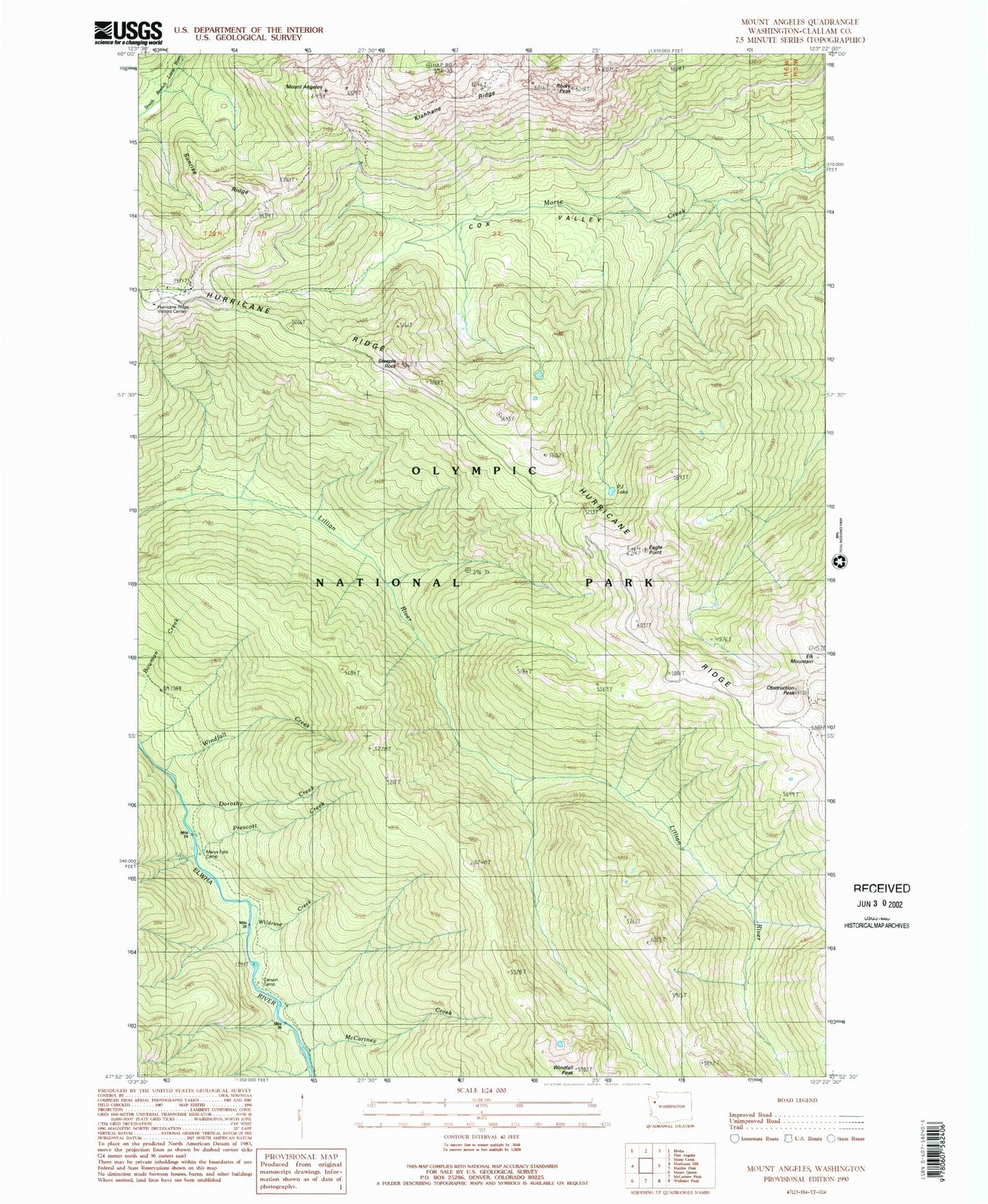
Classic USGS Mount Angeles Washington 7.5'x7.5' Topo Map
Couldn't load pickup availability
Historical USGS topographic quad map of Mount Angeles in the state of Washington. Typical map scale is 1:24,000, but may vary for certain years, if available. Print size: 24" x 27"
This quadrangle is in the following counties: Clallam.
The map contains contour lines, roads, rivers, towns, and lakes. Printed on high-quality waterproof paper with UV fade-resistant inks, and shipped rolled.
Contains the following named places: Mount Angeles, Canyon Camp, Cox Valley, Dorothy Creek, Eagle Point, Klahhane Ridge, Marys Falls Camp, McCartney Creek, Obstruction Peak, PJ Lake, Prescott Creek, Rocky Peak, Steeple Rock, Sunrise Ridge, Wildrose Creek, Windfall Creek, Windfall Peak, Hurricane Ridge Picnic Area, Evergreen Creek, Hurricane Ridge Visitors Center


