
MyTopo
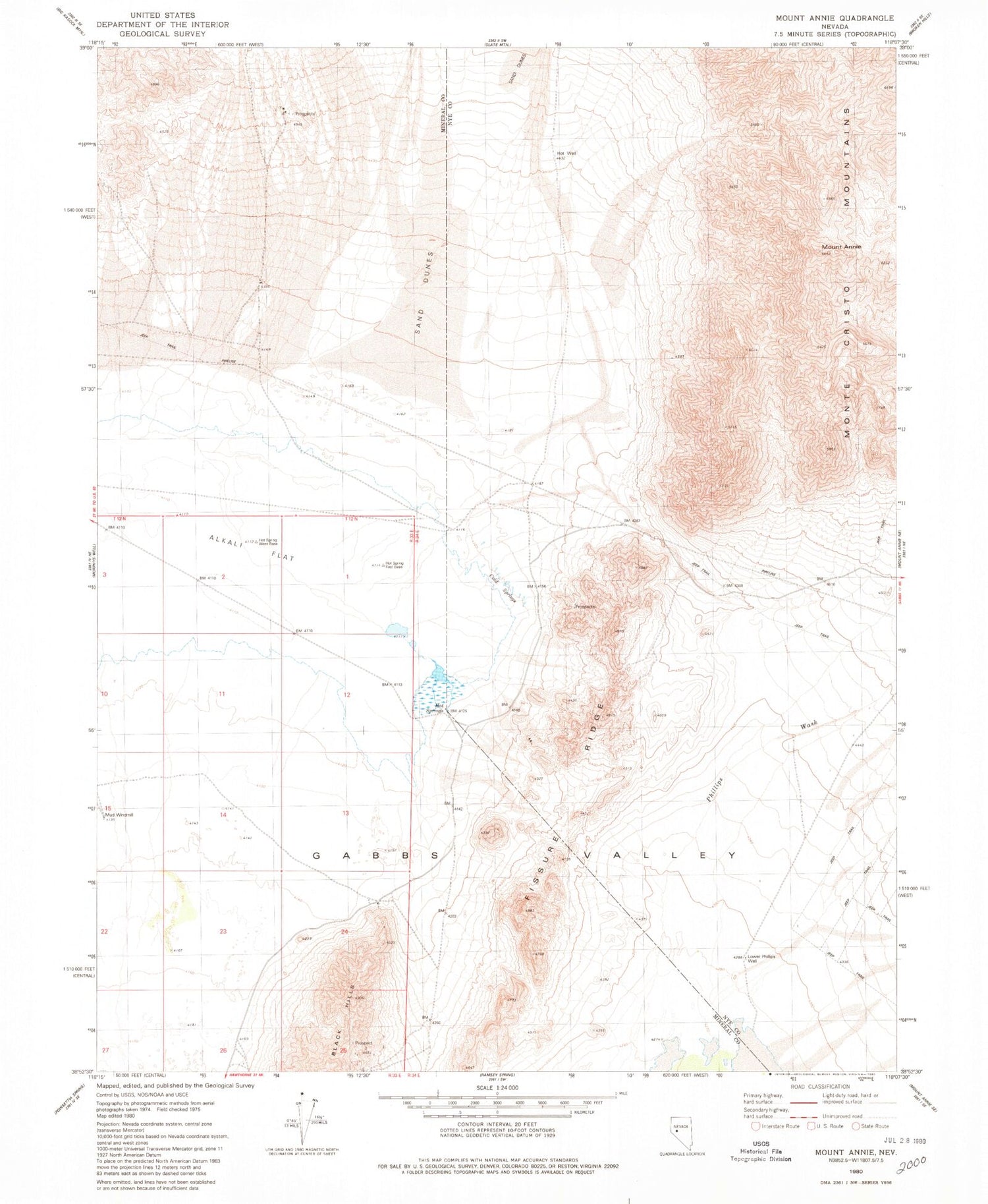
Classic USGS Mount Annie Nevada 7.5'x7.5' Topo Map
Regular price
$16.95
Regular price
Sale price
$16.95
Unit price
per
Couldn't load pickup availability
Historical USGS topographic quad map of Mount Annie in the state of Nevada. Map scale may vary for some years, but is generally around 1:24,000. Print size is approximately 24" x 27"
This quadrangle is in the following counties: Mineral, Nye.
The map contains contour lines, roads, rivers, towns, and lakes. Printed on high-quality waterproof paper with UV fade-resistant inks, and shipped rolled.
Contains the following named places: Cold Springs, Fissure Ridge, Lower Phillips Well, Mecca, Monte Cristo, Monte Cristo Mountains, Mount Annie, Mud Windmill, Phillips Wash, Rawhide Hot Springs, Wedell Springs, Woodruff Post Office, Woodruffs


