MyTopo
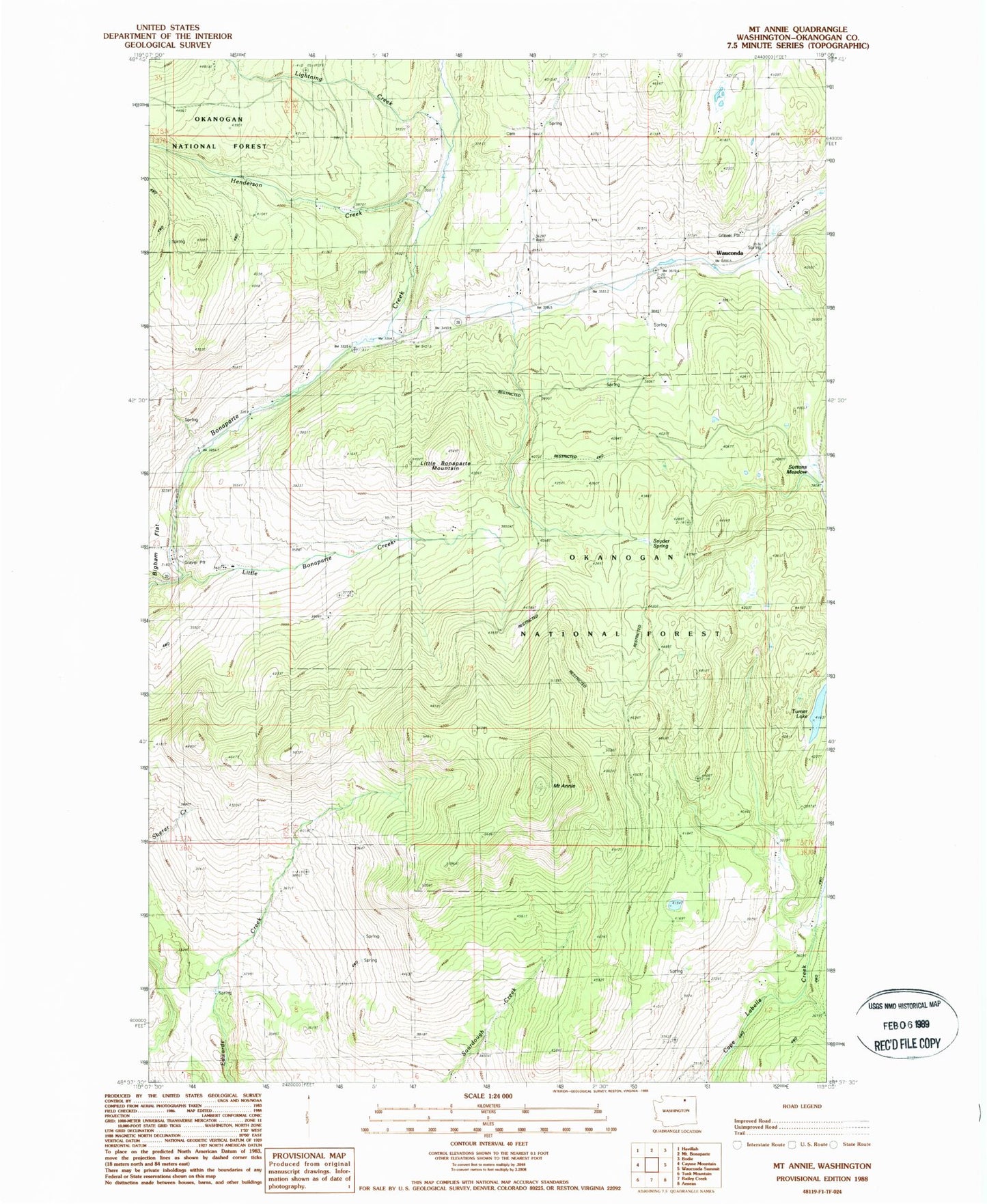
Classic USGS Mount Annie Washington 7.5'x7.5' Topo Map
Regular price
$16.95
Regular price
Sale price
$16.95
Unit price
per
Couldn't load pickup availability
Historical USGS topographic quad map of Mount Annie in the state of Washington. Map scale may vary for some years, but is generally around 1:24,000. Print size is approximately 24" x 27"
This quadrangle is in the following counties: Okanogan.
The map contains contour lines, roads, rivers, towns, and lakes. Printed on high-quality waterproof paper with UV fade-resistant inks, and shipped rolled.
Contains the following named places: Henderson Creek, Lightning Creek, Little Bonaparte Creek, Little Bonaparte Mountain, Mount Annie, Suttens Meadow, Toroda Creek, Turner Lake, Wauconda, Wauconda Post Office