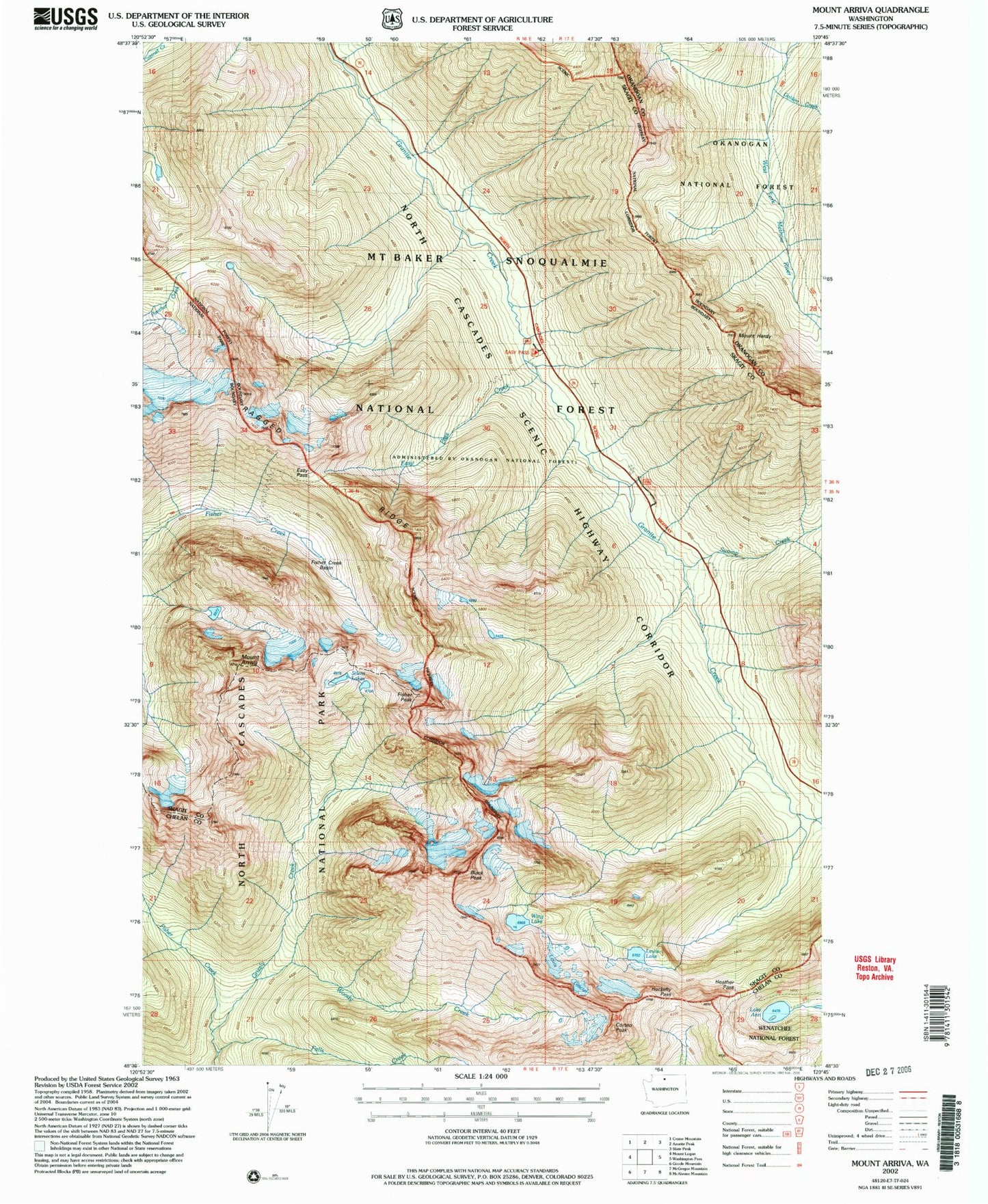
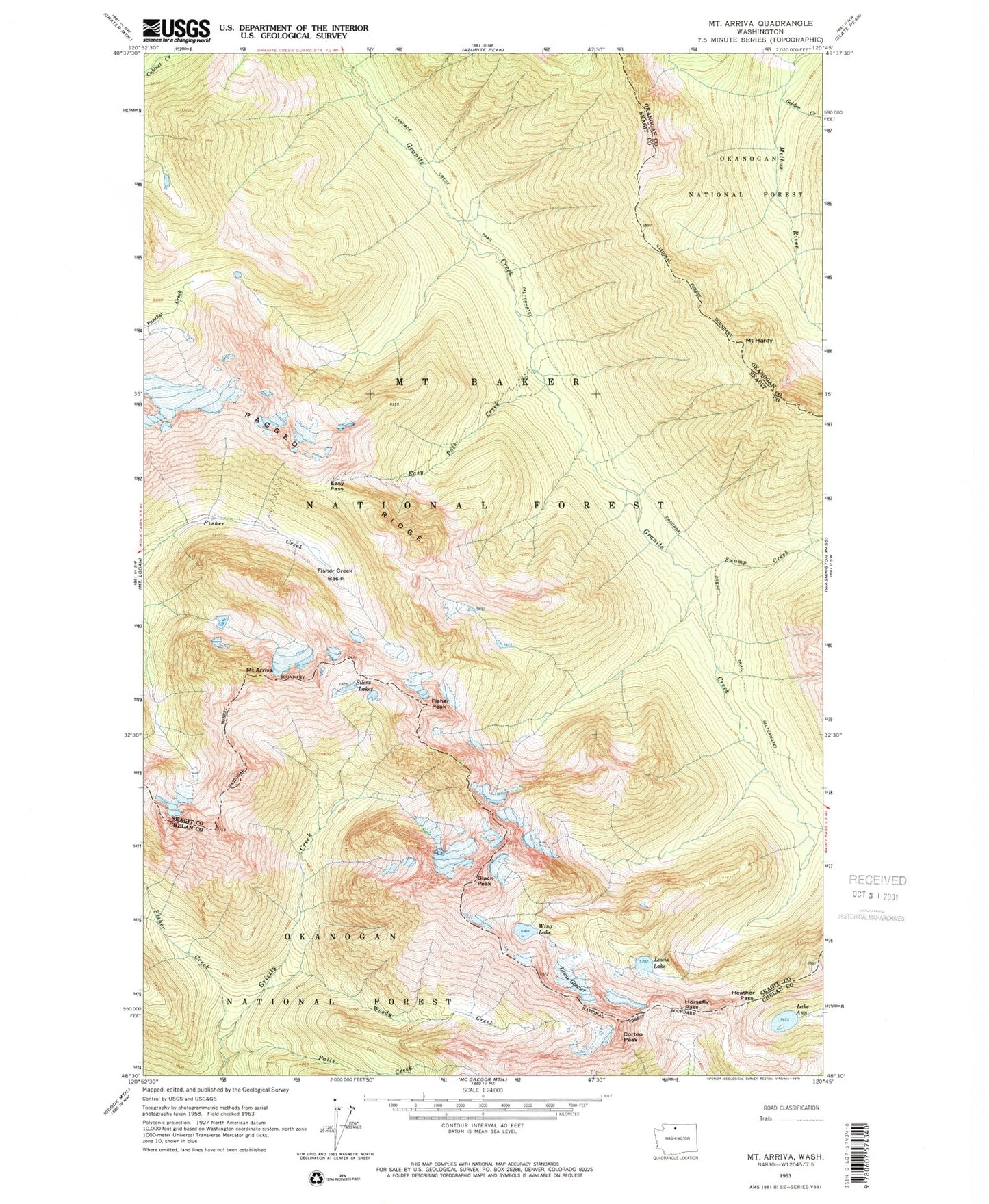
MyTopo
Classic USGS Mount Arriva Washington 7.5'x7.5' Topo Map
Couldn't load pickup availability
Historical USGS topographic quad map of Mount Arriva in the state of Washington. Typical map scale is 1:24,000, but may vary for certain years, if available. Print size: 24" x 27"
This quadrangle is in the following counties: Chelan, Okanogan, Skagit.
The map contains contour lines, roads, rivers, towns, and lakes. Printed on high-quality waterproof paper with UV fade-resistant inks, and shipped rolled.
Contains the following named places: Ann Lake, Mount Arriva, Black Peak, Corteo Peak, Easy Pass, Easy Pass Creek, Falls Creek, Fisher Creek, Fisher Creek Basin, Fisher Peak, Golden Creek, Mount Hardy, Heather Pass, Horsefly Pass, Kitling Creek, Kitling Lake, Kitling Peak, Lewis Glacier, Lewis Lake, Mesahchie Glacier, Mesahchie Pass, Porcupine Creek, Silent Lakes, Swamp Creek, West Fork Methow River, Wing Lake, Woody Creek, Easy Pass Trailhead, Maple Pass, Maple Pass Trail