MyTopo
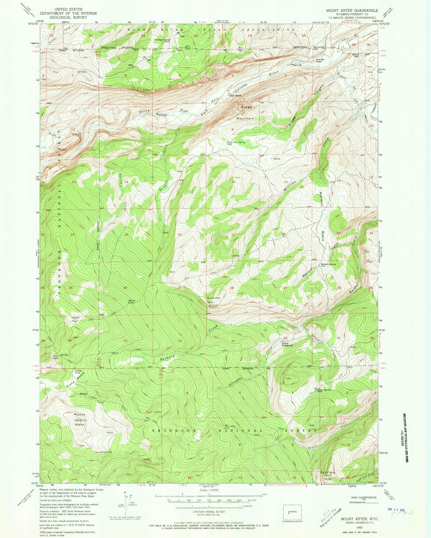
Classic USGS Mount Arter Wyoming 7.5'x7.5' Topo Map
Couldn't load pickup availability
Historical USGS topographic quad map of Mount Arter in the state of Wyoming. Map scale may vary for some years, but is generally around 1:24,000. Print size is approximately 24" x 27"
This quadrangle is in the following counties: Fremont.
The map contains contour lines, roads, rivers, towns, and lakes. Printed on high-quality waterproof paper with UV fade-resistant inks, and shipped rolled.
Contains the following named places: Bragg Canyon, Bragg Mountain, Brown Jug Ditch, Charcoal Spring, Cole Spring, Cole Spring Creek, Cony Basin, Cony Pass, Cyclone Pass, Fairfield Hill, Farlow Homestead, Farlow Trail, Hart Ranch, Mexican Creek Mine, Mormon Basin, Mormon Gulch, Mormon Spring, Mount Arter, North Fork Canyon, Paradise Creek, Pine Bar Ranch, Porcupine Creek, Sand Creek, Spring Creek, Squaw Creek Trail, Suicide Point, Uncle Tom Spring