MyTopo
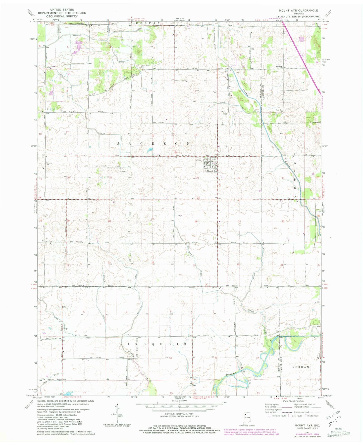
Classic USGS Mount Ayr Indiana 7.5'x7.5' Topo Map
Couldn't load pickup availability
Historical USGS topographic quad map of Mount Ayr in the state of Indiana. Map scale may vary for some years, but is generally around 1:24,000. Print size is approximately 24" x 27"
This quadrangle is in the following counties: Jasper, Newton.
The map contains contour lines, roads, rivers, towns, and lakes. Printed on high-quality waterproof paper with UV fade-resistant inks, and shipped rolled.
Contains the following named places: Battleday Ditch, Beasy Lateral, Burr Oak Cemetery, Burr Oak Church, Camblin Ditch, Cline Ditch, Haines Ditch, Kennedy Cemetery, Mount Ayr, Mount Ayr Junior High School, Mount Ayr Post Office, North Star Cemetery, Spitler Ditch, Town of Mount Ayr, Township of Jackson, Turner Ditch, ZIP Codes: 47922, 47964