MyTopo
Classic USGS Mount Ayr Iowa 7.5'x7.5' Topo Map
Couldn't load pickup availability
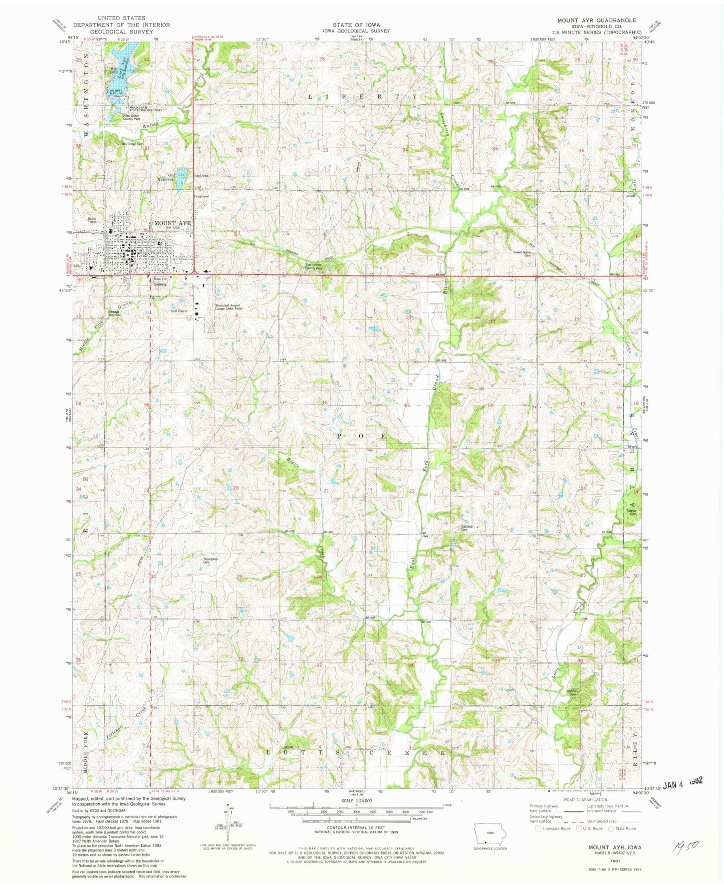
Historical USGS topographic quad map of Mount Ayr in the state of Iowa. Map scale may vary for some years, but is generally around 1:24,000. Print size is approximately 24" x 27"
This quadrangle is in the following counties: Ringgold.
The map contains contour lines, roads, rivers, towns, and lakes. Printed on high-quality waterproof paper with UV fade-resistant inks, and shipped rolled.
Contains the following named places: Assembly of God Church, Bealls Creek, Christian Church, City of Mount Ayr, Clearview Home, Crain Medical Clinic, Farmers Cooperative Company Elevator, Fifes Grove County Park, First Baptist Church, First Lutheran Church, Free Methodist Church, G and I Feed and Grain Elevator, Gooseberry Creek, Judge Lewis Field Mount Ayr Municipal Airport, Judge Lewis Park, Kingdom Hall of Jehovah Witnesses, Lesan, Lesan Post Office, Loch Ayr, Mount Ayr, Mount Ayr City Hall, Mount Ayr Elementary School, Mount Ayr Golf and Country Club, Mount Ayr Health Care Center, Mount Ayr Medical Clinic, Mount Ayr Middle / High School, Mount Ayr Post Office, Mount Ayr Public Library, Mount Ayr Regular Baptist Church, Mount Ayr State Fish Hatchery, Mount Ayr Vision Center, Mount Ayr Volunteer Fire Department, Oak Ridge Cemetery, Oakland Cemetery, Old Reservoir, Poe Hollow County Park, Ringgold County, Ringgold County Courthouse, Ringgold County Hospital, Ringgold County Sheriff's Office, Rose Hill Cemetery, Saint Josephs Catholic Church, Seventh Day Adventist Church, Shaha Cemetery, South Creek, Sweet Home Cemetery, Tedrow Cemetery, Thompson Cemetery, Township of Poe, United Methodist Church, United Presbyterian Church, ZIP Code: 50854


