MyTopo
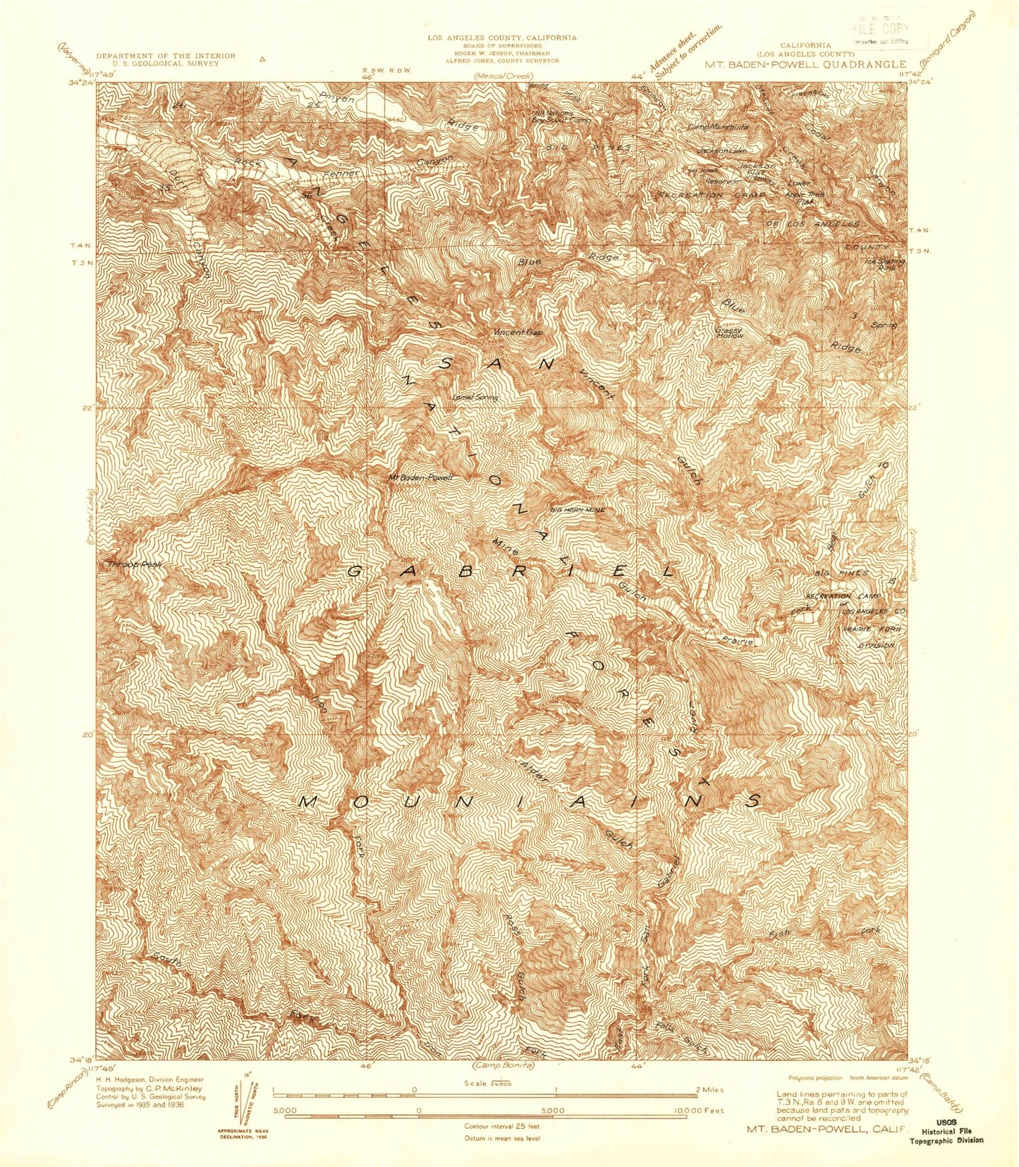
Classic USGS Mount Baden-Powell California 7.5'x7.5' Topo Map
Couldn't load pickup availability
Historical USGS topographic quad map of Mount Baden-Powell in the state of California. Typical map scale is 1:24,000, but may vary for certain years, if available. Print size: 24" x 27"
This quadrangle is in the following counties: Los Angeles.
The map contains contour lines, roads, rivers, towns, and lakes. Printed on high-quality waterproof paper with UV fade-resistant inks, and shipped rolled.
Contains the following named places: Big Rock Campground, Dorr Canyon, Fenner Canyon, Icy Springs, Lamel Spring, Lodgepole Picnic Area, Pinyon Ridge, Ross Mountain, South Fork Iron Fork, Vincent Gap, Vincent Gulch, Throop Peak, Mount Baden-Powell, Mount Burnham, Alder Gulch, Appletree Flat, Bear Gulch, Big Horn Mine, Camp Hawthorne, Camp Hemohme, Camp Junipero Serra, Camp Manzanita, Camp McKiwanis, Camp Metaka, Camp Teresita Pines, Camp Verdugo Pines, Cedar Canyon, Falls Gulch, Fish Fork, Fish Fork Camp, Grassy Hollow, Jackson Flat, Jackson Lake, Lake Campground, Mescal Campground, Mine Gulch, Mine Gulch Camp, Mount Oak Campground, Peavine Campground, Prairie Fork, Ross Gulch, Twin Valley Camp, Y M C A Camp, PL and P Trail, Cabin Flat Campground, Grassy Hollow Campground, Inspiration Point, Kassab Camp, Camp Ester, Camp Harmony Pines, Jackson Flat Campground, Grassy Hollow Campground, Jackson Flat Campground, Camp Kassab, Camp Ester, Ball Target Shooting Area, Mount High West Ski Area, BSA Monument, Los Angeles County Camp Farmer, All Nations Camp, Appletree Campground, Big Pines Camp, Johnson Corner, Sheep Mountain Wilderness


