MyTopo
Classic USGS Mount Baird Idaho 7.5'x7.5' Topo Map
Couldn't load pickup availability
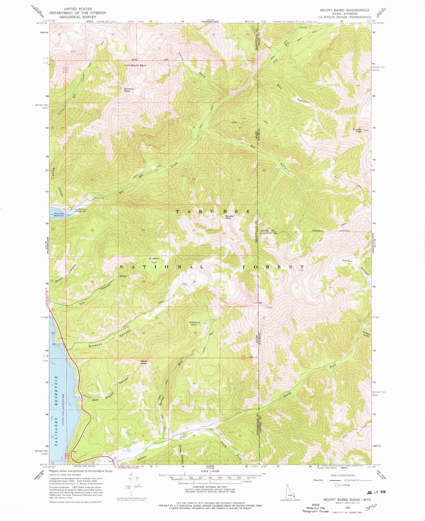
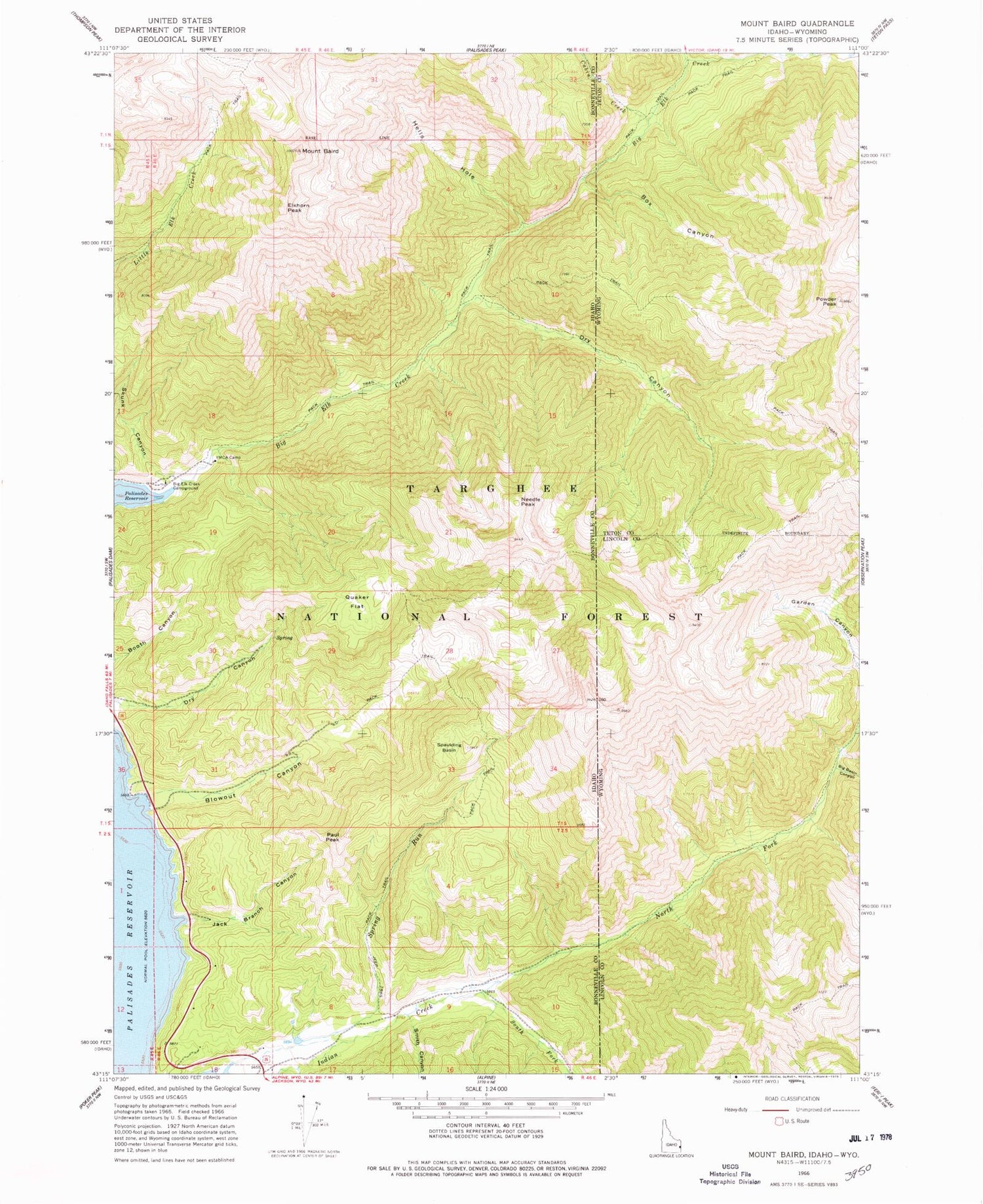
Historical USGS topographic quad map of Mount Baird in the states of Idaho, Wyoming. Typical map scale is 1:24,000, but may vary for certain years, if available. Print size: 24" x 27"
This quadrangle is in the following counties: Bonneville, Lincoln, Teton.
The map contains contour lines, roads, rivers, towns, and lakes. Printed on high-quality waterproof paper with UV fade-resistant inks, and shipped rolled.
Contains the following named places: Mount Baird, Big Elk Creek, Big Elk Creek Campground, Box Canyon, Dry Canyon, North Fork Indian Creek, Paul Peak, Quaker Flat, Skunk Canyon, Smith Canyon, South Fork Indian Creek, Spaulding Basin, Needle Peak, Elkhorn Peak, Hells Hole, Blowout Canyon, Jack Branch Canyon, Cabin Creek, Powder Peak, Siddoway Fork, Big Basin Canyon, Garden Canyon