MyTopo
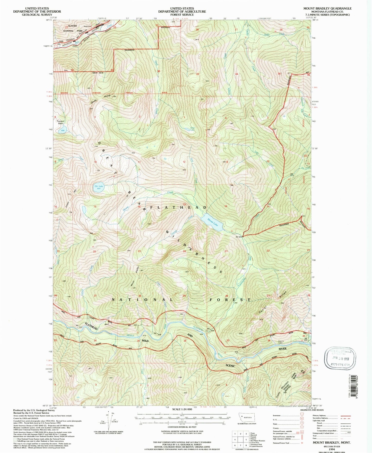
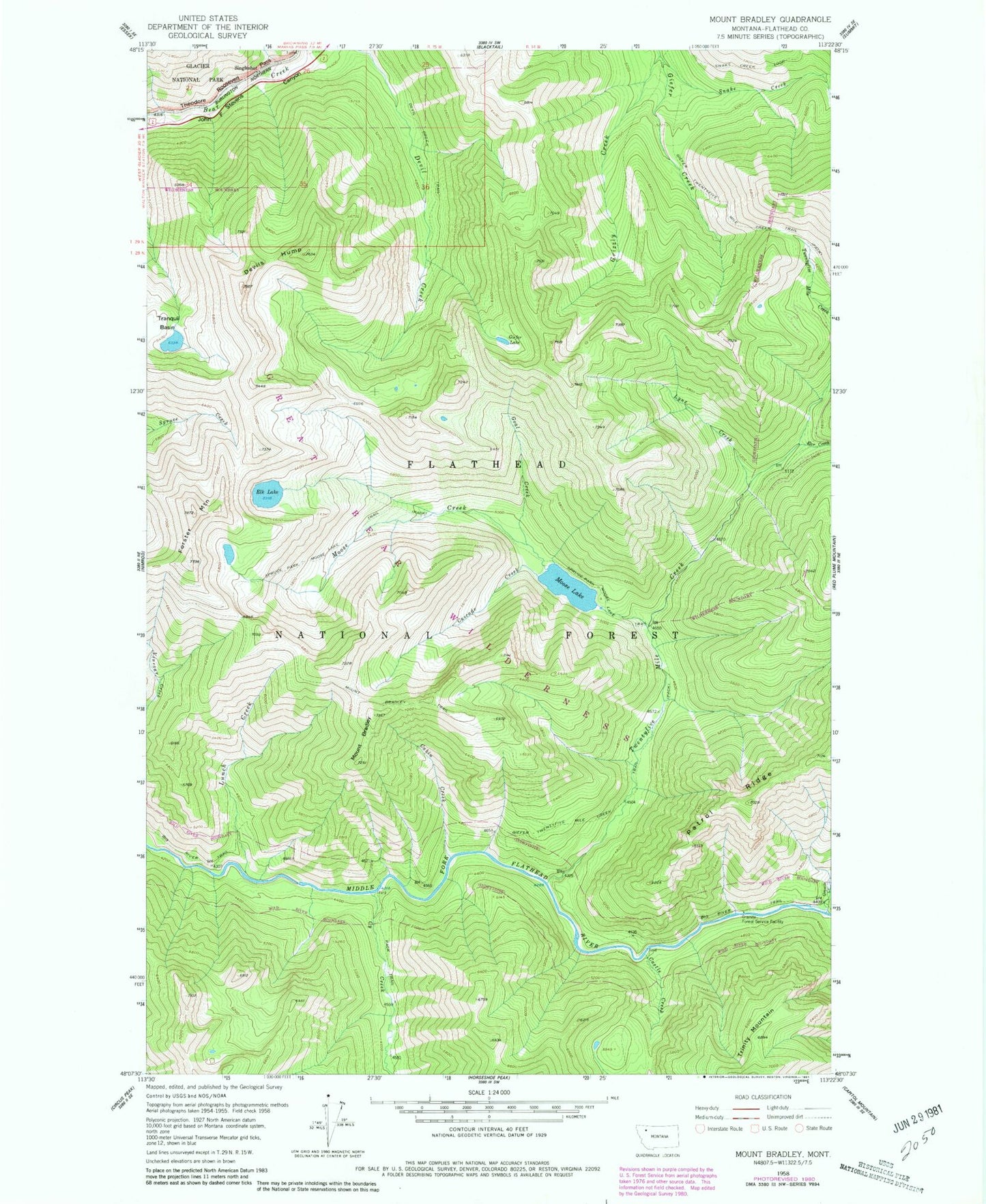
Classic USGS Mount Bradley Montana 7.5'x7.5' Topo Map
Couldn't load pickup availability
Historical USGS topographic quad map of Mount Bradley in the state of Montana. Typical map scale is 1:24,000, but may vary for certain years, if available. Print size: 24" x 27"
This quadrangle is in the following counties: Flathead.
The map contains contour lines, roads, rivers, towns, and lakes. Printed on high-quality waterproof paper with UV fade-resistant inks, and shipped rolled.
Contains the following named places: Big River Trail, Mount Bradley, Cabin Creek, Cascade Creek, Castle Creek, Cy Creek, Devil Creek Trail, Devils Hump, Ear Creek, Elk Lake, Forster Mountain, Giefer Lake, Giefer Twentyfive Mile Creek Trail, Granite Creek, Grizzly Creek, Lunch Creek, Lynx Creek, Moose Creek, Moose Lake, Mount Bradley Trail, Singleshot, Snake Creek, Snake Creek Loop, Spruce Park Moose Lake Trail, Twentyfive Mile Creek, Great Bear Wilderness, Goal Creek, Granite Cabin, Singleshot (historical), Windy Hill (historical)


