MyTopo
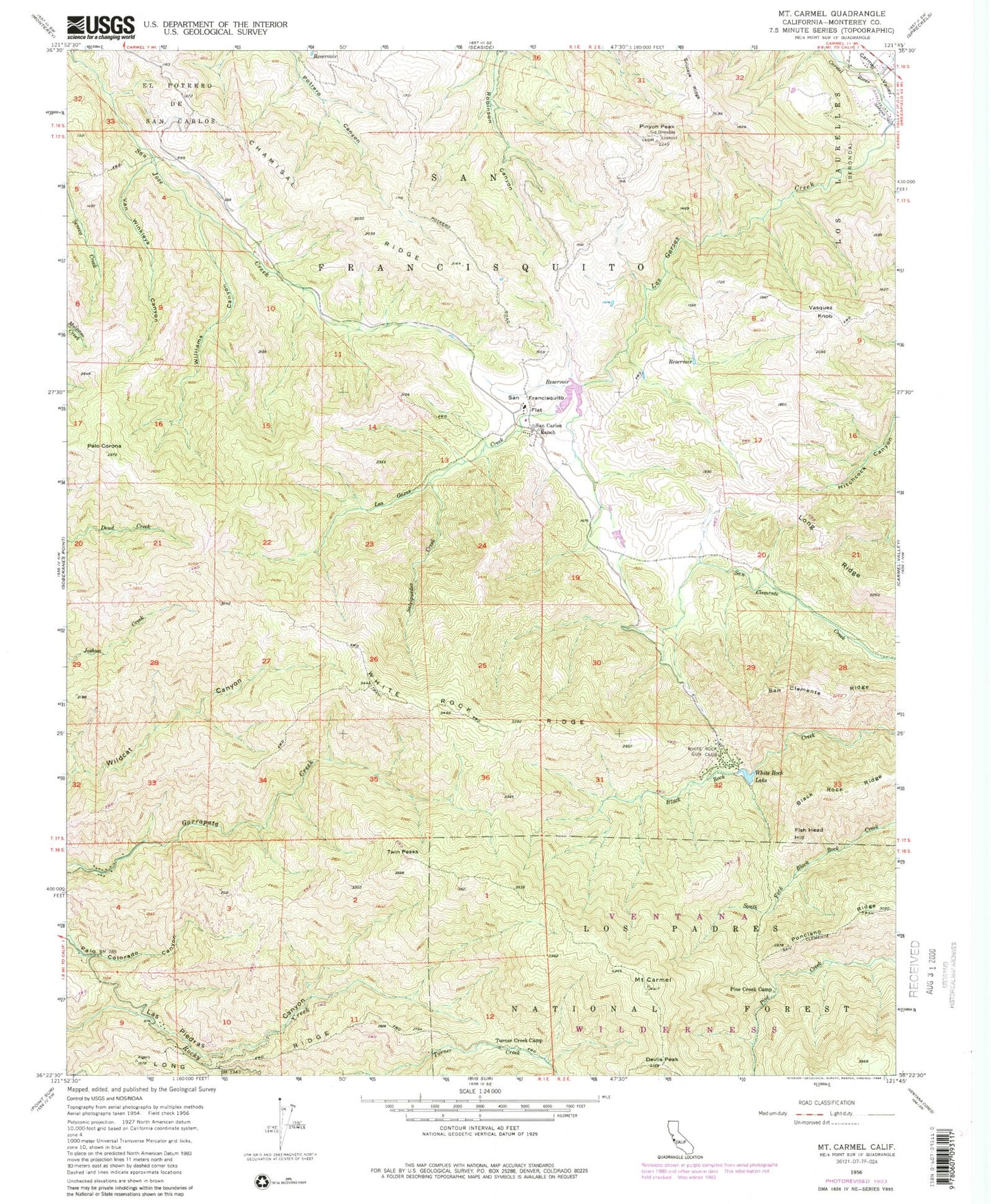
Classic USGS Mount Carmel California 7.5'x7.5' Topo Map
Couldn't load pickup availability
Historical USGS topographic quad map of Mount Carmel in the state of California. Typical map scale is 1:24,000, but may vary for certain years, if available. Print size: 24" x 27"
This quadrangle is in the following counties: Monterey.
The map contains contour lines, roads, rivers, towns, and lakes. Printed on high-quality waterproof paper with UV fade-resistant inks, and shipped rolled.
Contains the following named places: Snivleys Ridge, Black Rock Ridge, Mount Carmel, Chamisal Ridge, Devils Peak, Las Gazas Creek, Long Ridge, Palo Corona, Pine Creek Camp, Pinyon Peak, Salsipuedes Creek, San Carlos Ranch, San Clemente Ridge, San Francisquito, San Francisquito Flat, Sid Ormsbee Lookout, Turner Creek Camp, Van Winkleys Canyon, White Rock Lake, White Rock Ridge, Williams Canyon, White Rock Gun Club, Apple Tree Rustic Campsite, Fish Head Hill, Twin Peaks, Vasquez Knob, Black Rock Creek 643 Dam, Mid - Coast Fire Brigade


