MyTopo
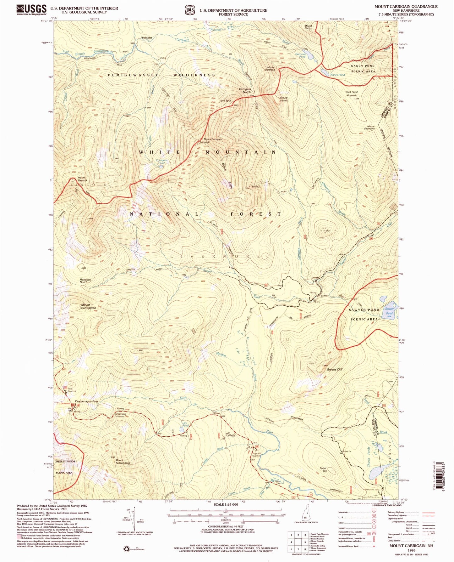
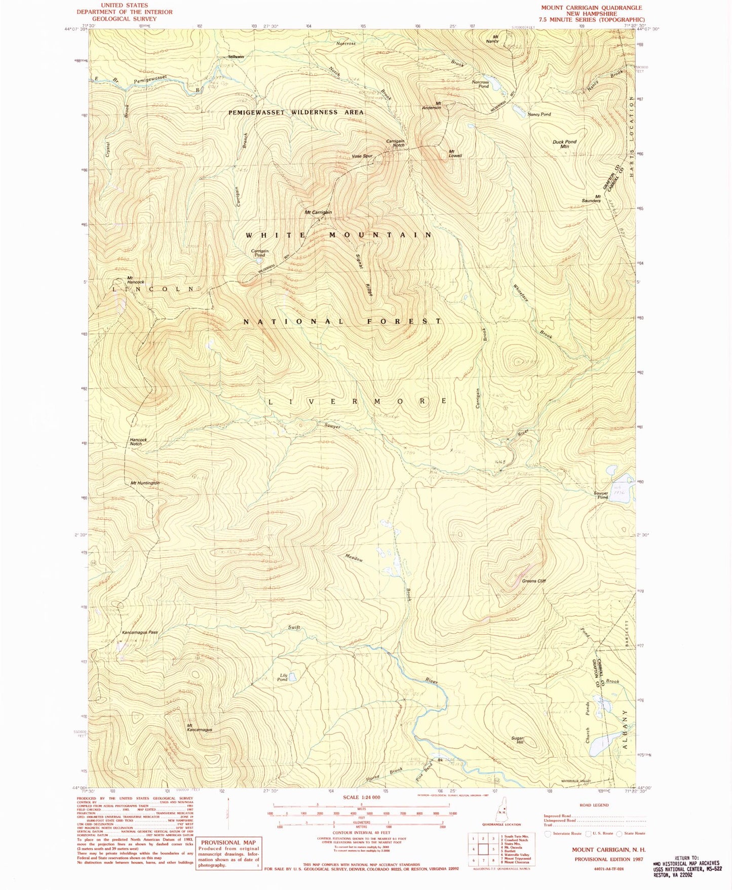
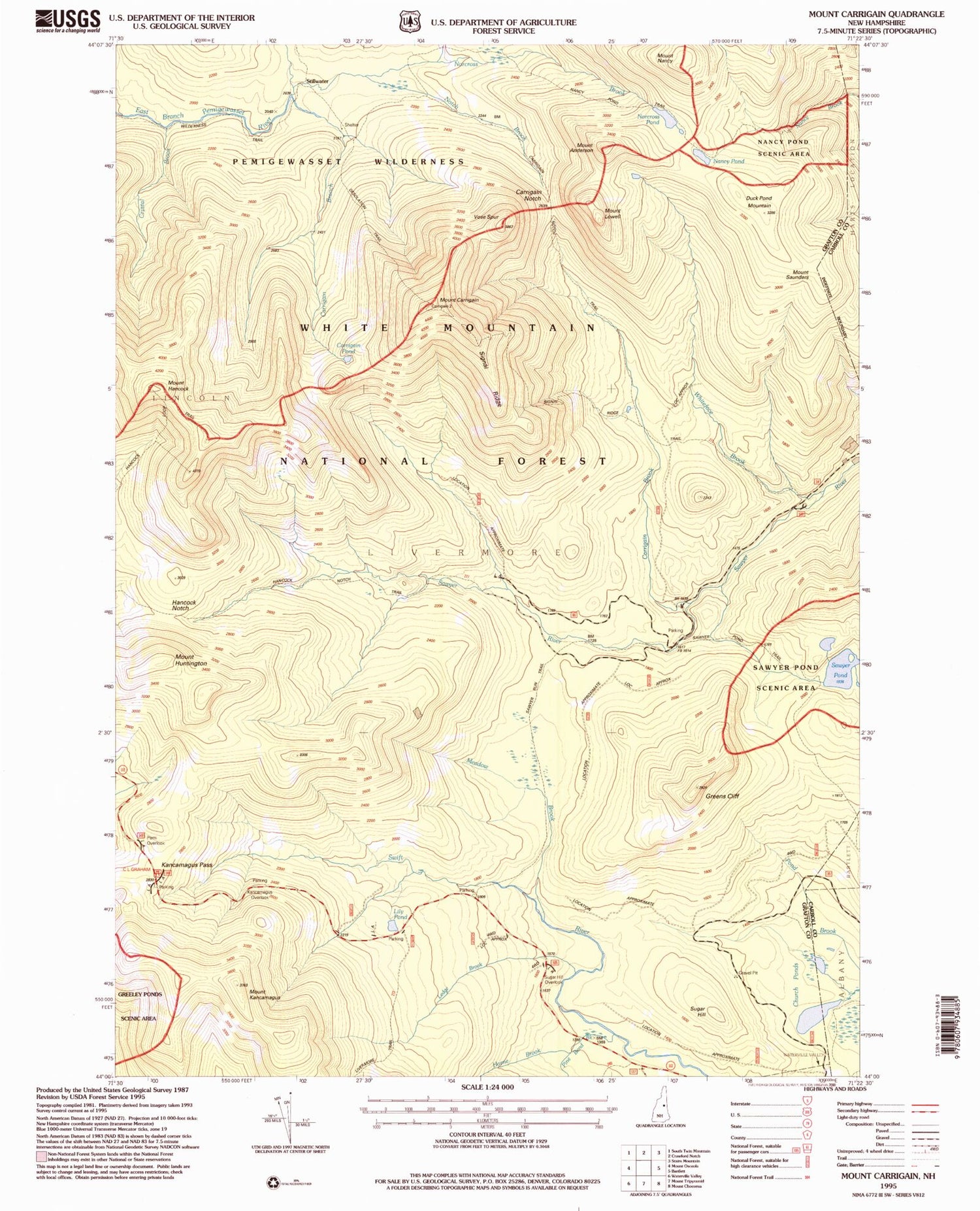
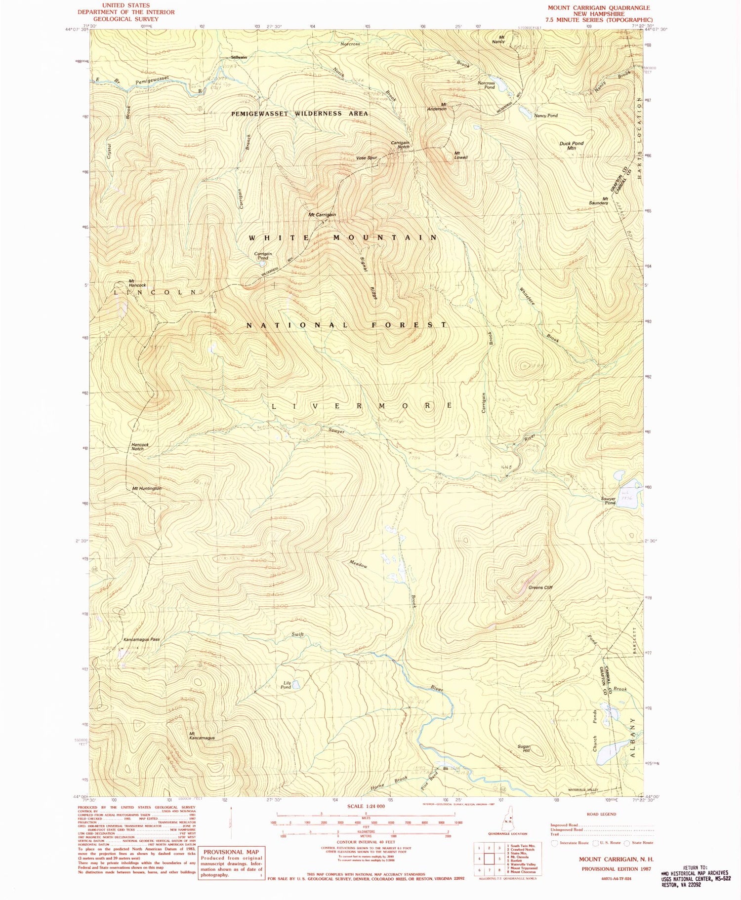
Classic USGS Mount Carrigain New Hampshire 7.5'x7.5' Topo Map
Couldn't load pickup availability
Historical USGS topographic quad map of Mount Carrigain in the state of New Hampshire. Typical map scale is 1:24,000, but may vary for certain years, if available. Print size: 24" x 27"
This quadrangle is in the following counties: Carroll, Grafton.
The map contains contour lines, roads, rivers, towns, and lakes. Printed on high-quality waterproof paper with UV fade-resistant inks, and shipped rolled.
Contains the following named places: Anderson Brook, Mount Anderson, Carrigain Branch, Carrigain Brook, Carrigain Notch, Carrigain Notch Trail, Carrigain Pond, Mount Carrigain, Church Pond Trail, Church Ponds, Crystal Brook, Desolation Trail, Duck Pond Mountain, Greens Cliff, Hancock Notch, Hancock Notch Trail, Mount Hancock, Mount Huntington, Kancamagus Pass, Mount Kancamagus, Lily Pond, Livermore, Livermore Trail, Mount Lowell, Meadow Brook, Mount Bemis Trail, Mount Saunders, Nancy Cascades, Nancy Pond, Mount Nancy, Norcross Brook, Norcross Pond, Notch Brook, Pine Bend Brook, Sawyer Pond, Shoal Pond Brook, Signal Ridge, Signal Ridge Trail, Stillwater, Sugar Hill, Swift River Trail, Vose Spur, Waterville Cutoff Trail, Whiteface Brook, Sawyer Pond Trail Shelter, Little Sawyer Pond, Sugar Hill Overlook, Sawyer Run Trail, Pemi Overlook, C L Graham Picnic Area, Nancy Brook Scenic Area, Horne Brook, Ledge Brook, Kancamagus, Town of Livermore, C L Graham Wangan Ground Picnic Area


