MyTopo
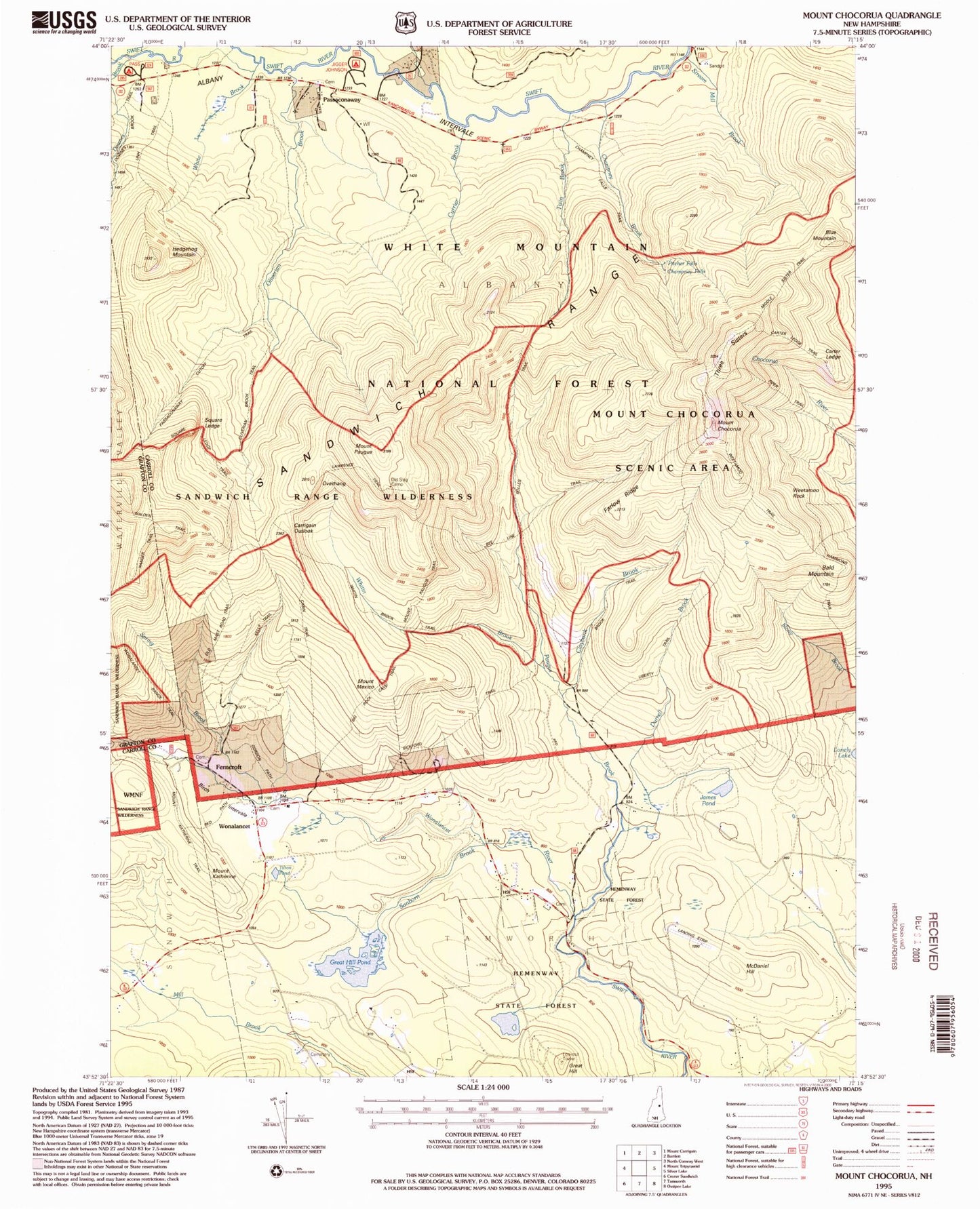
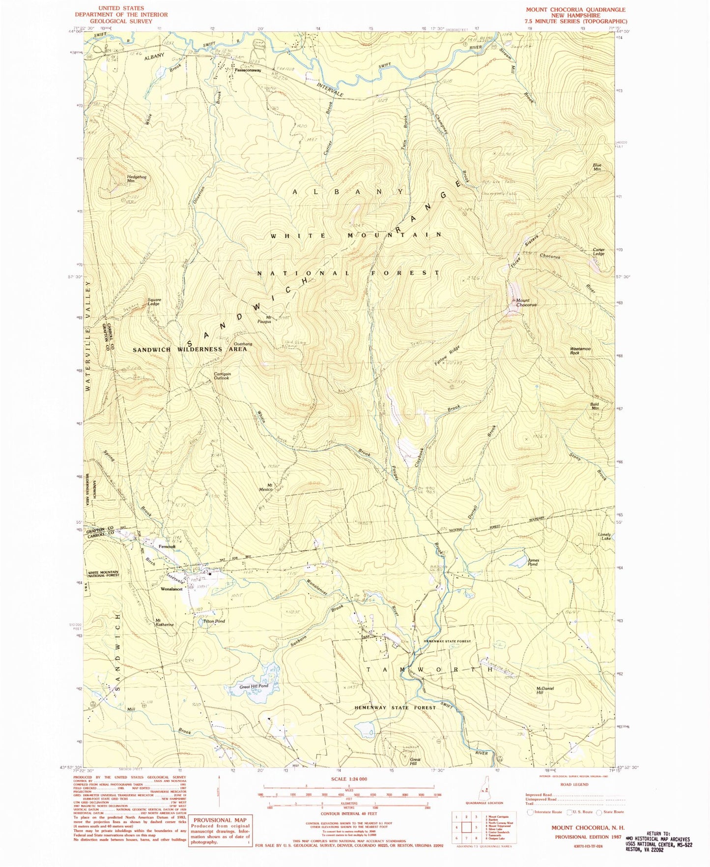
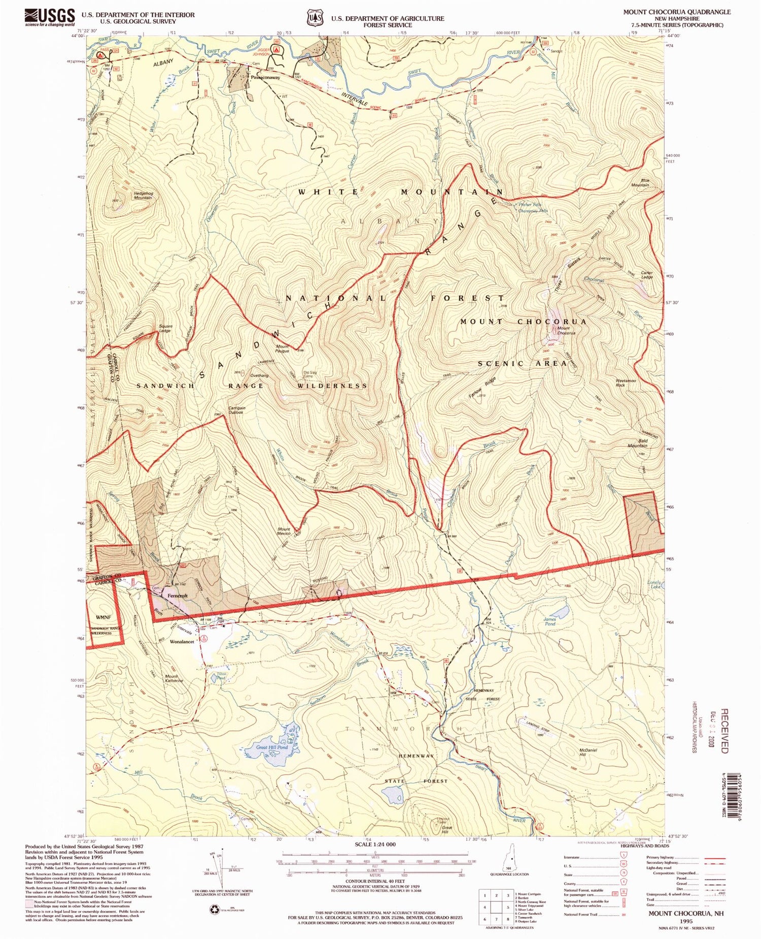
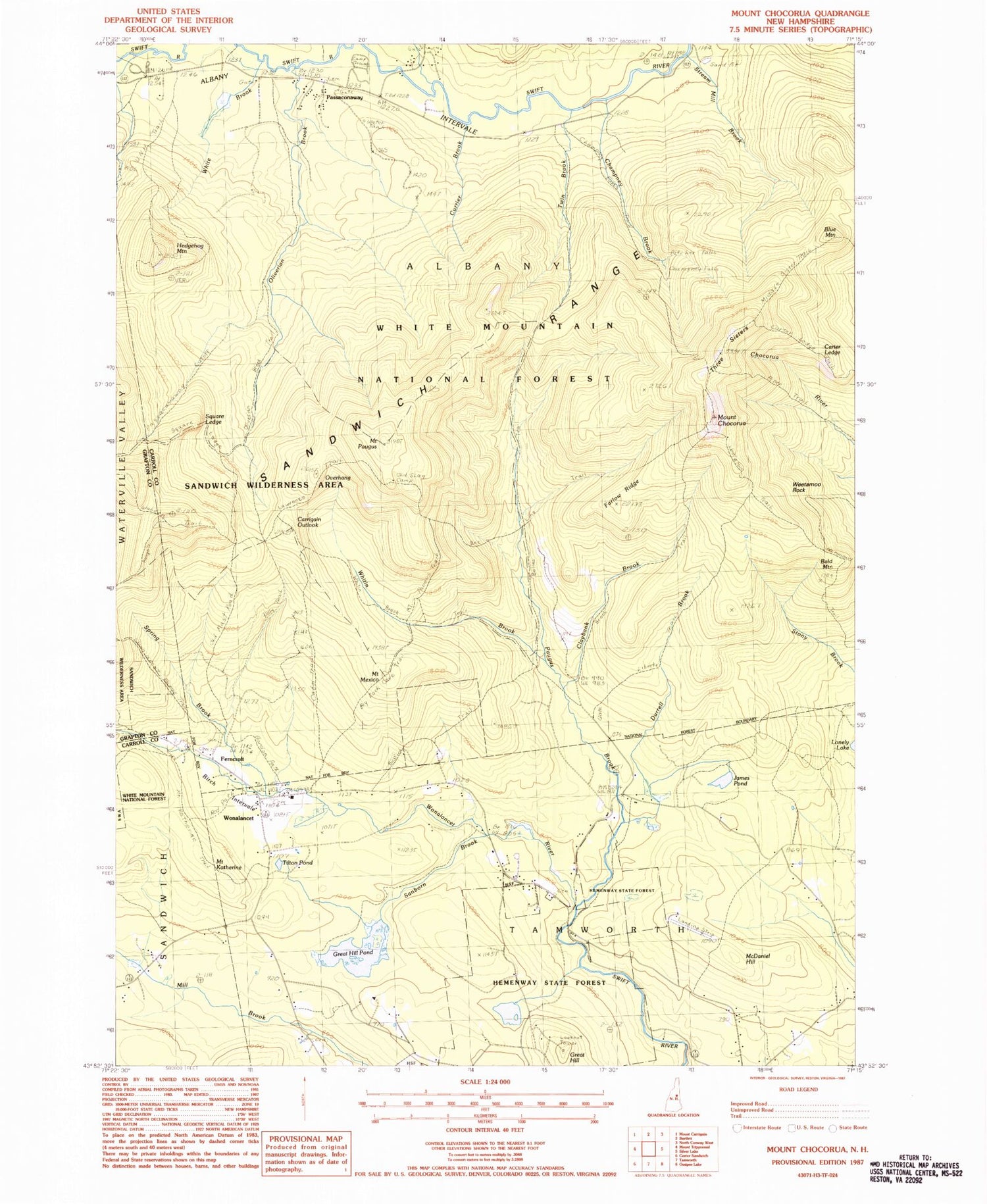
Classic USGS Mount Chocorua New Hampshire 7.5'x7.5' Topo Map
Couldn't load pickup availability
Historical USGS topographic quad map of Mount Chocorua in the state of New Hampshire. Typical map scale is 1:24,000, but may vary for certain years, if available. Print size: 24" x 27"
This quadrangle is in the following counties: Carroll, Grafton.
The map contains contour lines, roads, rivers, towns, and lakes. Printed on high-quality waterproof paper with UV fade-resistant inks, and shipped rolled.
Contains the following named places: Albany Cemetery, Bald Mountain, Bee Line Trail, Bickford Trail, Big Rock Cave Trail, Birch Intervale, Blue Mountain, Boles Trail, Cabin Trail, Camp Hemenway, Camp Penacook, Carrigain Outlook, Carter Ledge, Champney Brook, Chocorua Brook Trail, Mount Chocorua, Claybank Brook, Currier Brook, Douglas Brook, Downes Brook, Durrell Brook, Falls Trail, Farlow Ridge, Ferncroft, Great Hill, Great Hill Pond, Hammond Trail, Hedgehog Mountain, Hemenway State Reservation, Hibbard Mountain, James Pond, Mount Katherine, Kelley Trail, Lawrence Trail, Liberty Shelter, Liberty Trail, McDaniel Hill, Mexico Ridge Trail, Mount Mexico, Middle Sister Trail, Moose Pond, Mount Paugus Trail, Old Locke Road Path, Old Mast Road, Old Slag Camp, Oliveran Brook, Oliverian Brook Trail, Overhang, Passaconaway, Passaconaway Cutoff Trail, Paugus Brook, Paugus Mill, Mount Paugus, Sanborn Brook, Spring Brook, Square Ledge, Steam Mill Brook, Tewksberry Brook, Three Sisters, Tilton Pond, Twin Brook, Walden Trail, Weetamoo Rock, White Brook, White Mountain Camp, Whitin Brook Trail, Whitin Ridge, Wonalancet, Wonalancet River, Mount Katherine Trail, Red Path, Kelly Brook, Wona Lancet Range Trail, U.N.H. Trail, Pass Campground, Gordon Path, Square Ledge Trail, Jigger Jonnson Campground, Champney Falls Trail, Mount Chocorua Scenic Area, Wonalancet Range Trail, Whitin Brook, Town of Albany, Effingham Cemetery, Jigger Johnson Campground, Passaconaway Campground, University of New Hampshire Forest Camp, Tamworth Fire Department Wonalancet Station


