MyTopo
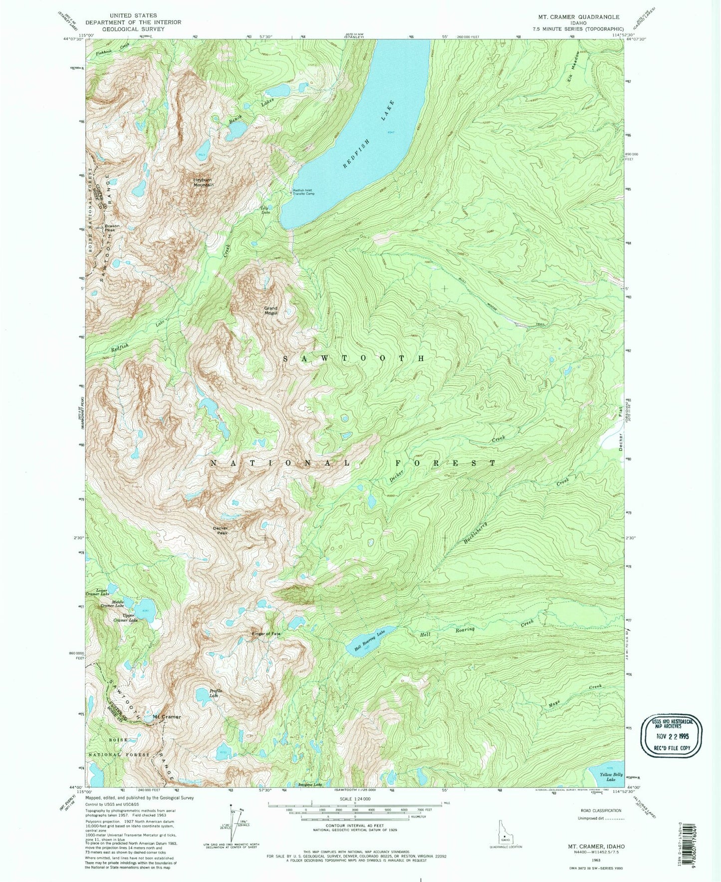
USGS Classic Mount Cramer Idaho 7.5'x7.5' Topo Map
Couldn't load pickup availability
Historical USGS topographic quad map of Mount Cramer in the state of Idaho. Scale: 1:24000. Print size: 24" x 27"
This quadrangle is in the following counties: Boise, Custer.
The map contains contour lines, roads, rivers, towns, lakes, and grids including latitude / longitude and UTM / MGRS. Printed on high-quality waterproof paper with UV fade-resistant inks.
Contains the following named places: Profile Lake, Bench Lakes, Braxon Peak, Bull Moose Trail, Mount Cramer, Decker Peak, Elk Meadow, Finger of Fate, Grand Mogul, Hidden Lake, Lily Lake, Lower Cramer Lake, Middle Cramer Lake, Redfish Inlet Transfer Camp, Redfish Lake, Upper Cramer Lake, Yellow Belly Lake, Hell Roaring Lake, Sevy Peak, Saddleback Lakes, Heyburn Mountain, The Arrowhead, The Temple