MyTopo
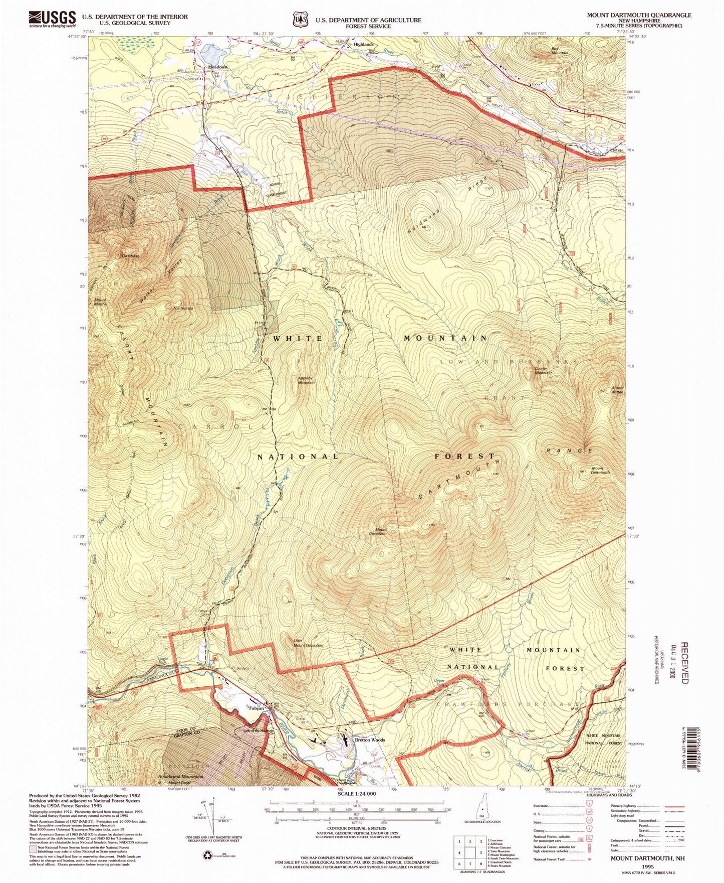
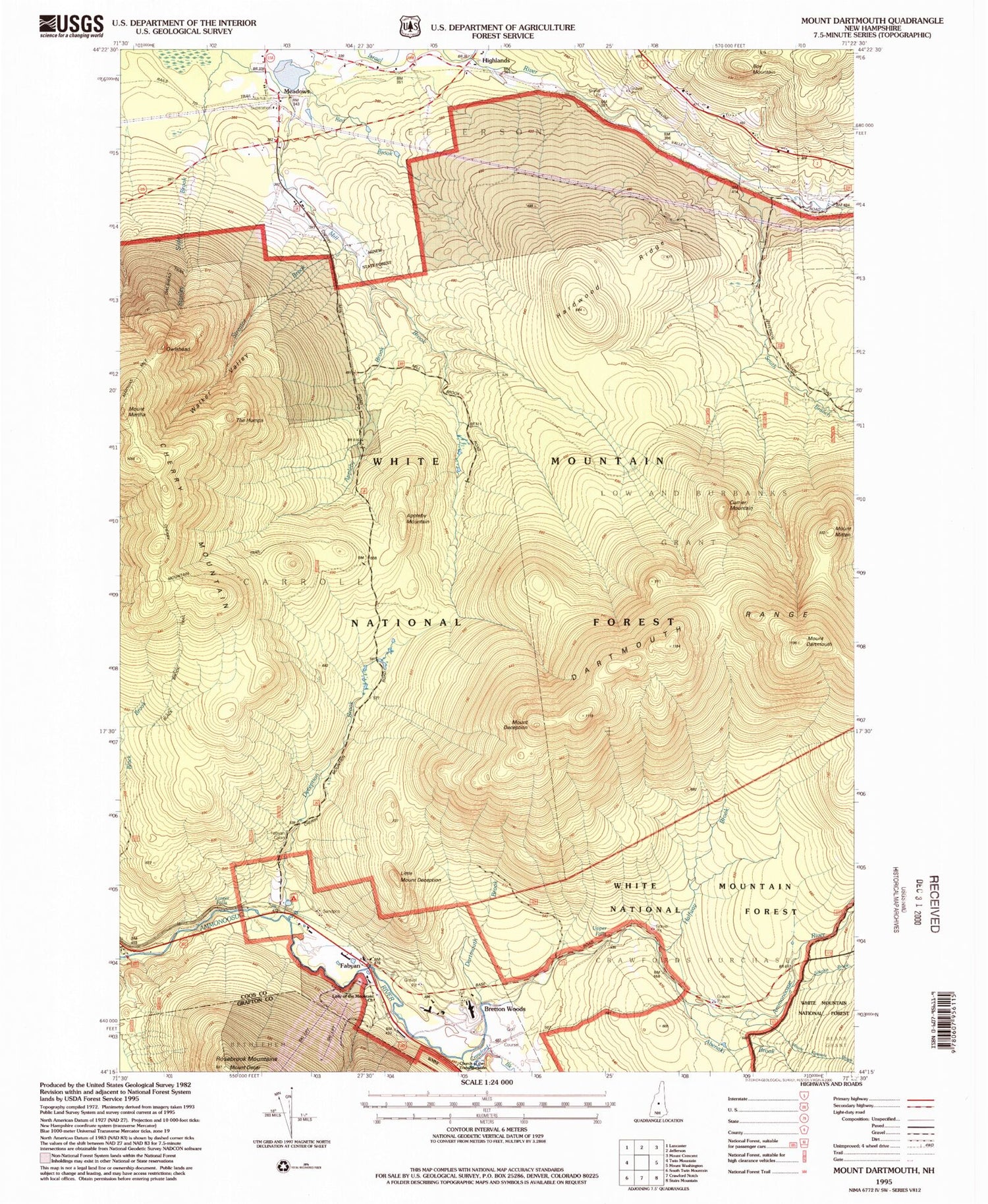
Classic USGS Mount Dartmouth New Hampshire 7.5'x7.5' Topo Map
Couldn't load pickup availability
Historical USGS topographic quad map of Mount Dartmouth in the state of New Hampshire. Typical map scale is 1:24,000, but may vary for certain years, if available. Print size: 24" x 27"
This quadrangle is in the following counties: Coos, Grafton.
The map contains contour lines, roads, rivers, towns, and lakes. Printed on high-quality waterproof paper with UV fade-resistant inks, and shipped rolled.
Contains the following named places: Appleby Mountain, Appleby Brook, Boy Mountain, Bretton Woods, Carroll Trail, Cherry Mountain, Currier Mountain, Dartmouth Brook, Mount Dartmouth, Deception Brook, Deception Trail, Mount Deception, Fabyan, Halfway Brook, Hardwood Ridge, Highlands, Israel River Ranger Station, Jefferson Station, Little Mount Deception, Lower Falls, Mount Martha, Meadows, Mill Brook Trail, Mount Mitten, Owlshead, Sokokis Brook, South Branch Israel River, Stag Hollow Brook, Stanley Slide Brook, Streator Brook, The Humps, Upper Falls, Walker Valley, Zealand Forest Camp, Abenaki Brook, Assaguam Brook, Crawfords Purchase, Dartmouth Range, Dartmouth Trail, Jefferson Brook, Little Bear Brook, Mount Pleasant Brook, Mount Oscar, Sebosis Brook, Bretton Woods Post Office, Bretton Woods Ski Area, Church of the Transfiguration


