MyTopo
USGS Classic Mount Darwin California 7.5'x7.5' Topo Map
Couldn't load pickup availability
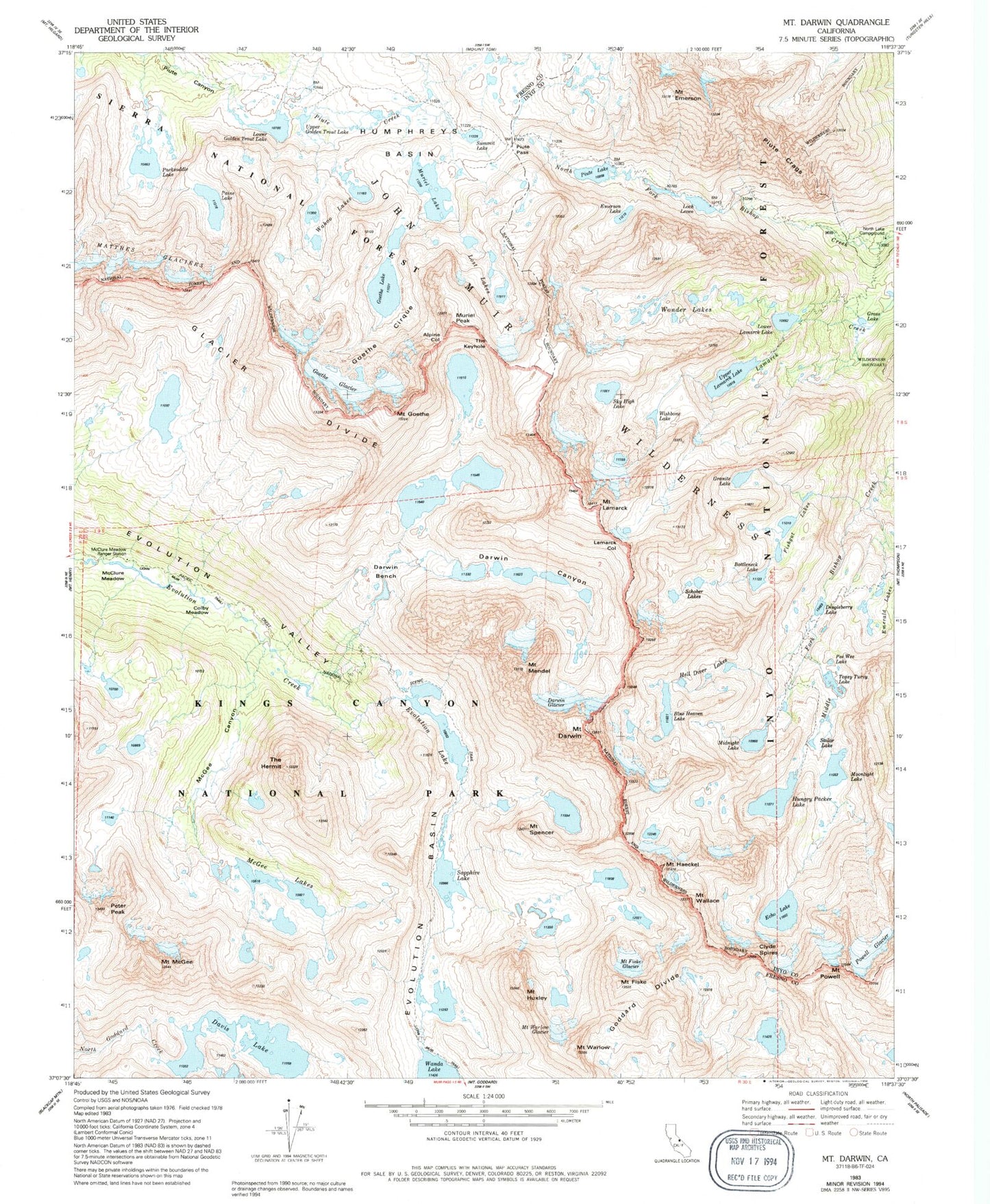
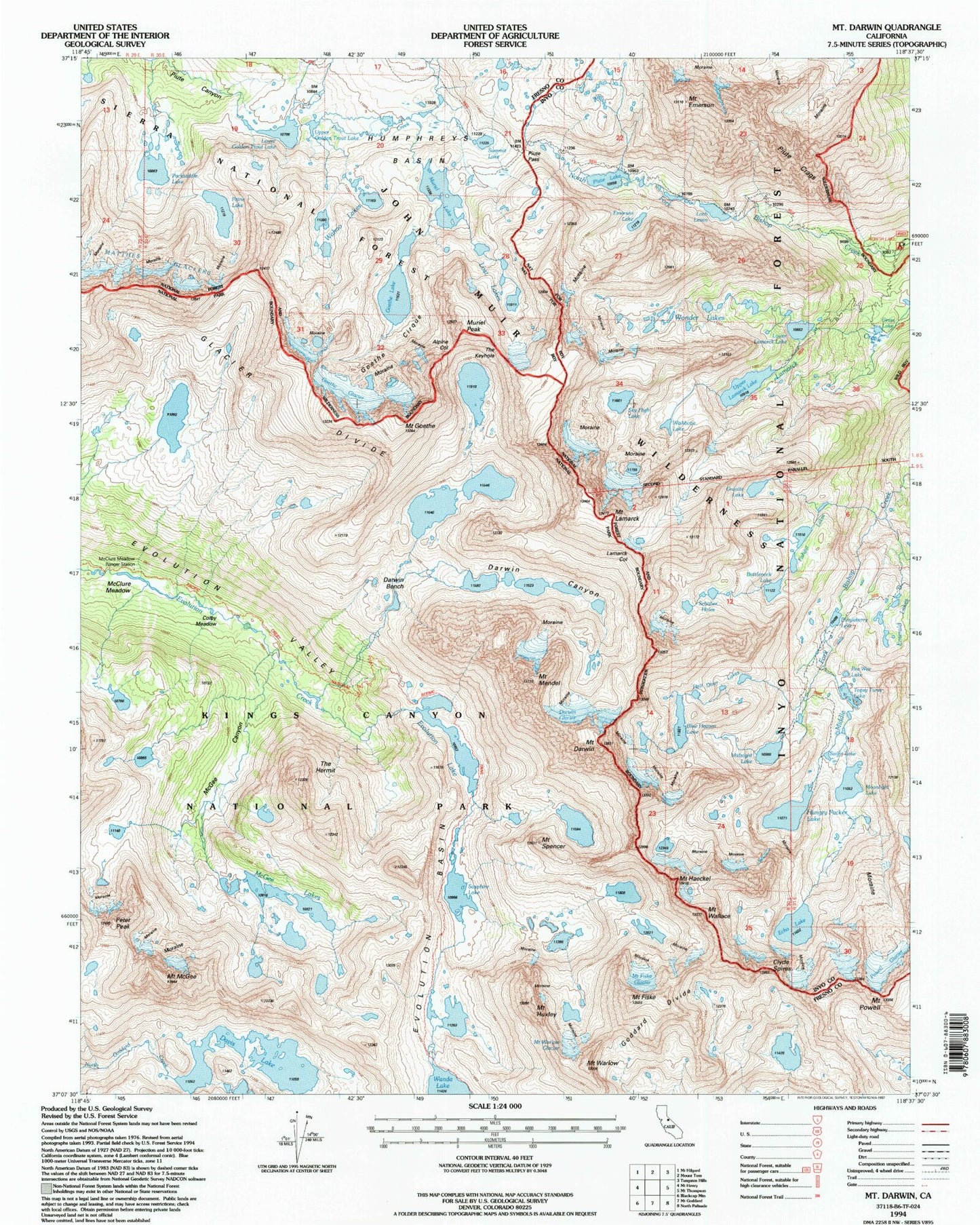
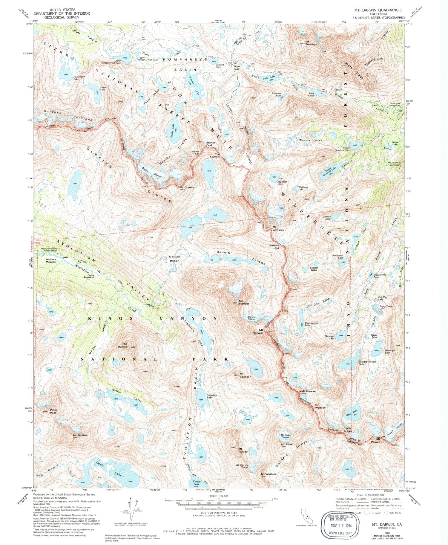
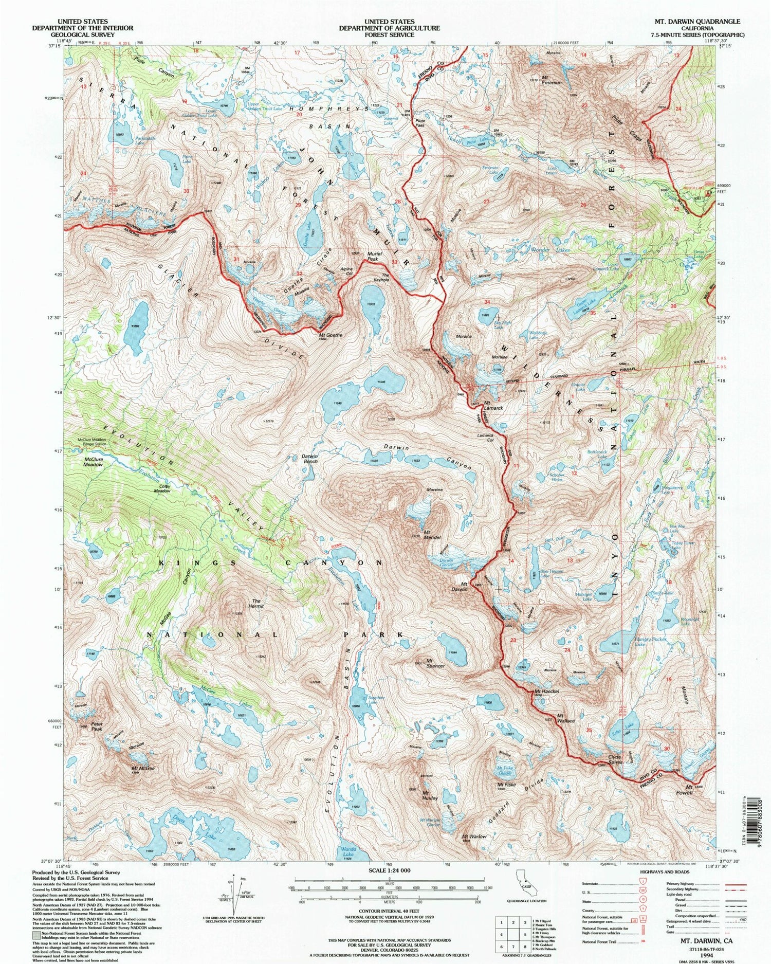
Historical USGS topographic quad map of Mount Darwin in the state of California. Scale: 1:24000. Print size: 24" x 27"
This quadrangle is in the following counties: Fresno, Inyo.
The map contains contour lines, roads, rivers, towns, lakes, and grids including latitude / longitude and UTM / MGRS. Printed on high-quality waterproof paper with UV fade-resistant inks.
Contains the following named places: McGee Canyon, McGee Lake, Goethe Cirque, Alpine Col, Blue Heaven Lake, Bottleneck Lake, Colby Meadow, Darwin Canyon, Darwin Glacier, Mount Darwin, Davis Lake, Dingleberry Lake, Echo Lake, Emerald Lakes, Emerson Lake, Evolution Basin, Evolution Lake, Fishgut Lakes, Mount Fiske, Glacier Divide, Goethe Glacier, Goethe Lake, Lower Golden Trout Lake, Granite Lake, Grass Lake, Mount Haeckel, Hell Diver Lakes, Hungry Packer Lake, Mount Huxley, Lamarck Col, Mount Lamarck, Loch Leven, Lost Lakes, Lower Lamarck Lake, McClure Meadow, Mount McGee, Mount Mendel, Midnight Lake, Moonlight Lake, Muriel Lake, Muriel Peak, Packsaddle Lake, Payne Lake, Peter Peak, Piute Lake, Piute Pass, Mount Powell, Sailor Lake, Sapphire Lake, Schober Lakes, Summit Lake, The Hermit, The Keyhole, Topsy Turvy Lake, Upper Lamarck Lake, Wahoo Lake, Mount Wallace, Wonder Lakes, John Muir Trail, Mount Emerson, Mount Goethe, Mount Spencer, Mount Warlow, Clyde Spires, North Lake Campground, Pee Wee Lake, Piute Crags, Powell Glacier, Sky High Lake, Wishbone Lake, Darwin Bench, McClure Meadow Ranger Station, Mount Fiske Glacier, Mount Warlow Glacier, Upper Golden Trout Lake, Darwin Creek, Lamarck Lakes Trailhead, North Park Campground


