MyTopo
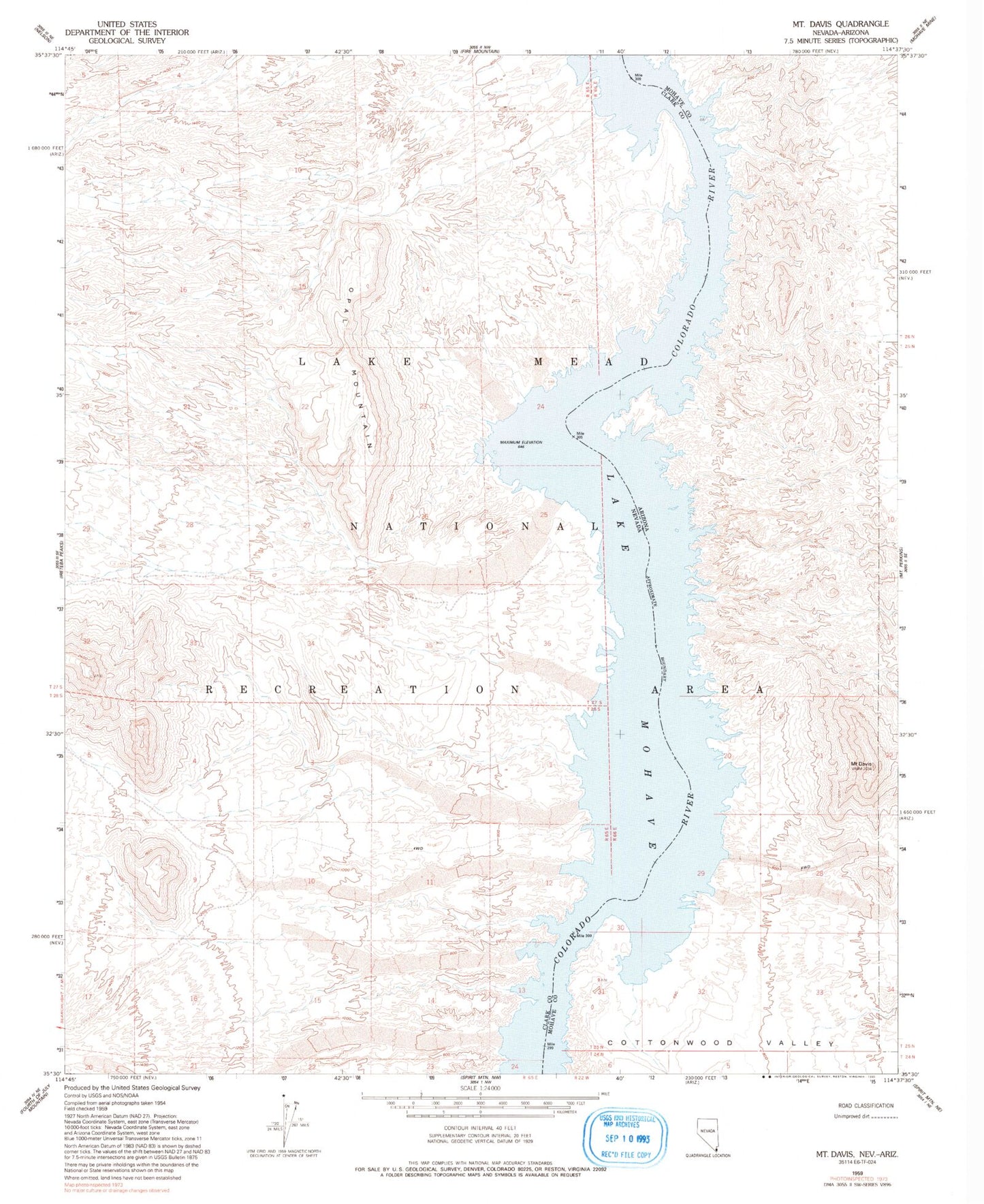
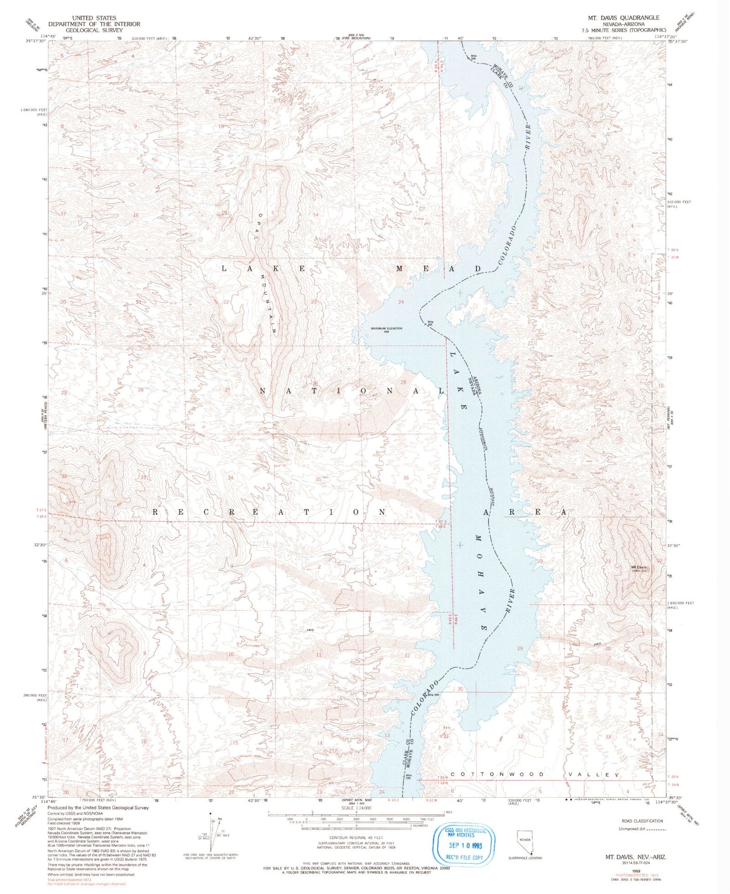
Classic USGS Mount Davis Arizona 7.5'x7.5' Topo Map
Couldn't load pickup availability
Historical USGS topographic quad map of Mount Davis in the states of Arizona, Nevada. Map scale may vary for some years, but is generally around 1:24,000. Print size is approximately 24" x 27"
This quadrangle is in the following counties: Clark, Mohave.
The map contains contour lines, roads, rivers, towns, and lakes. Printed on high-quality waterproof paper with UV fade-resistant inks, and shipped rolled.
Contains the following named places: Antelope Cove, Apache Tear Cove, Arizona Bay, Basalt Cove, Bass Cove, Bonnie Brae Cove, Castle Cove, Catclaw Cove, Copper Mountain Cove, Coyote Spring Cove, Gold Cove, Gold Spike Cove, Golden Door Cove, Great West Cove, Jeff Davis Cove, Klondike Cove, Mount Davis, Nevada Bay, Opal Cove, Opal Mountain, Owl Cove, Owl Point, Owl Point Cove, Painted Canyon Cove, Rockefeller Cove, Round Island, Sand Hole, Sheeptrail Cove, Solicitor Cove, Twin Coves, Two Dollar Cove, Tyee Cove, Wrong Cove, Yuma Cove


