MyTopo
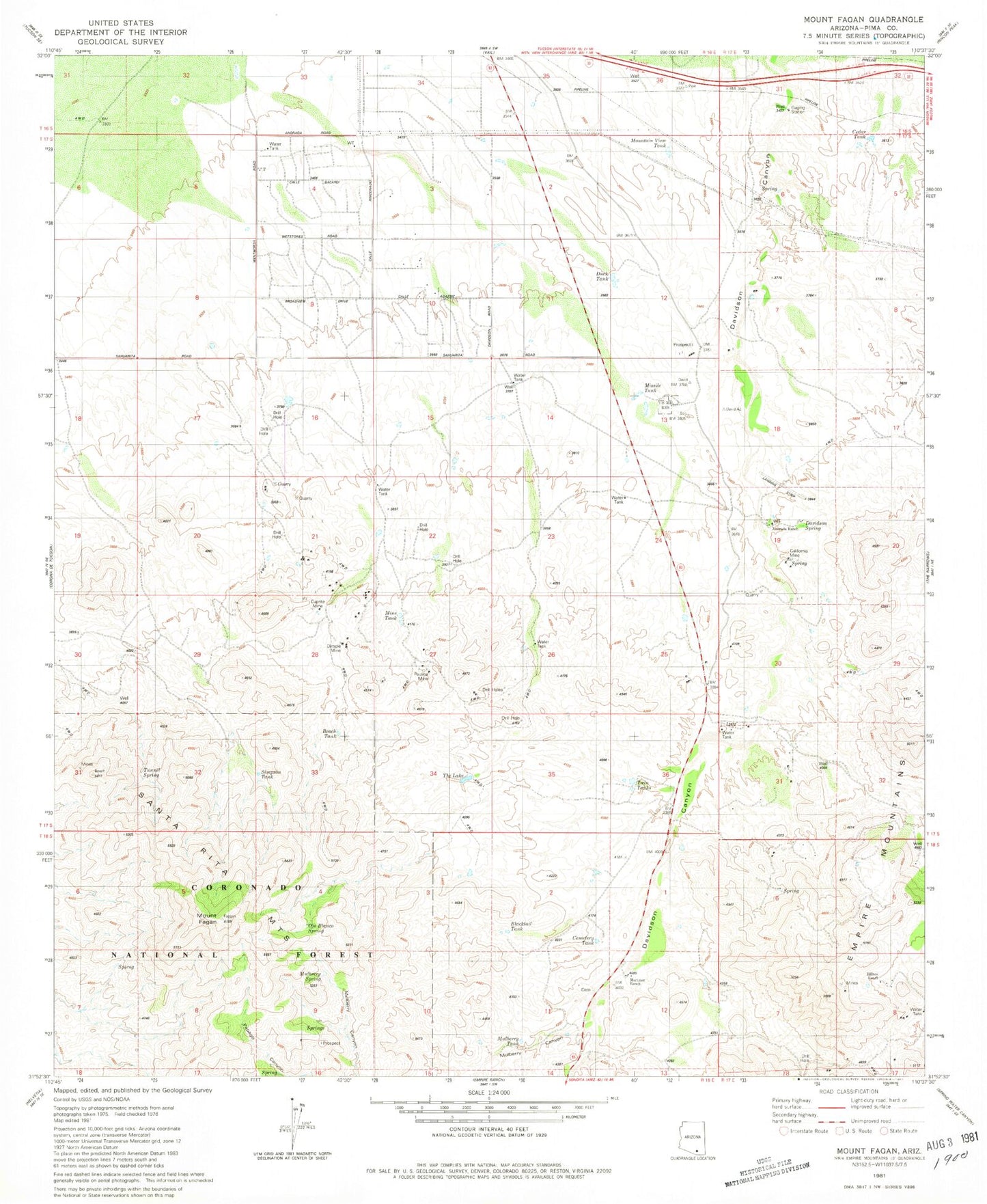
Classic USGS Mount Fagan Arizona 7.5'x7.5' Topo Map
Couldn't load pickup availability
Historical USGS topographic quad map of Mount Fagan in the state of Arizona. Map scale may vary for some years, but is generally around 1:24,000. Print size is approximately 24" x 27"
This quadrangle is in the following counties: Pima.
The map contains contour lines, roads, rivers, towns, and lakes. Printed on high-quality waterproof paper with UV fade-resistant inks, and shipped rolled.
Contains the following named places: Andrada Ranch, Beach Tank, Blacktail Tank, California Mine, Cedar Tank, Cemetery Tank, Cuprite Mine, Davidson Spring, Dimple Mine, Duck Tank, Empire Mountains, Hillton Ranch, Martinez Ranch, Mine Tank, Missile Tank, Mount Fagan, Mountain View Tank, Mulberry Canyon, Mulberry Spring, Mulberry Tank, New Tucson, Ojo Blanco Spring, Pauline Mine, Simpson Tank, The Lake, Tunnel Spring, Twin Tanks