MyTopo
Classic USGS Mount Floyd Arizona 7.5'x7.5' Topo Map
Regular price
$16.95
Regular price
Sale price
$16.95
Unit price
per
Couldn't load pickup availability
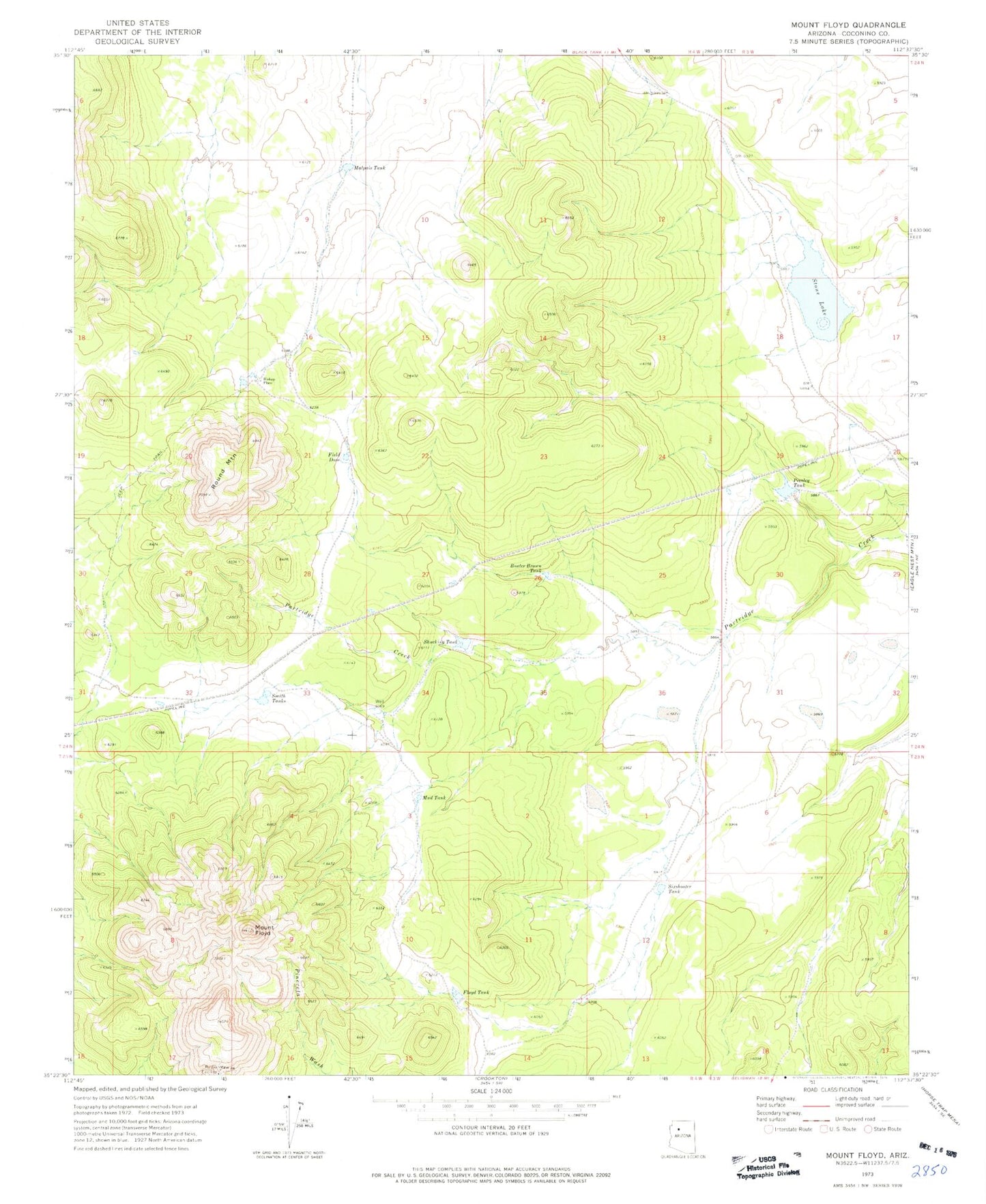
Historical USGS topographic quad map of Mount Floyd in the state of Arizona. Map scale may vary for some years, but is generally around 1:24,000. Print size is approximately 24" x 27"
This quadrangle is in the following counties: Coconino.
The map contains contour lines, roads, rivers, towns, and lakes. Printed on high-quality waterproof paper with UV fade-resistant inks, and shipped rolled.
Contains the following named places: Bishop Place, Buster Brown Tank, Field Dam, Floyd Tank, Malpais Tank, Mount Floyd, Mud Tank, Presley Tank, Round Mountain, Shucking Tank, Sixshooter Tank, Smith Tanks, Stone Lake