MyTopo
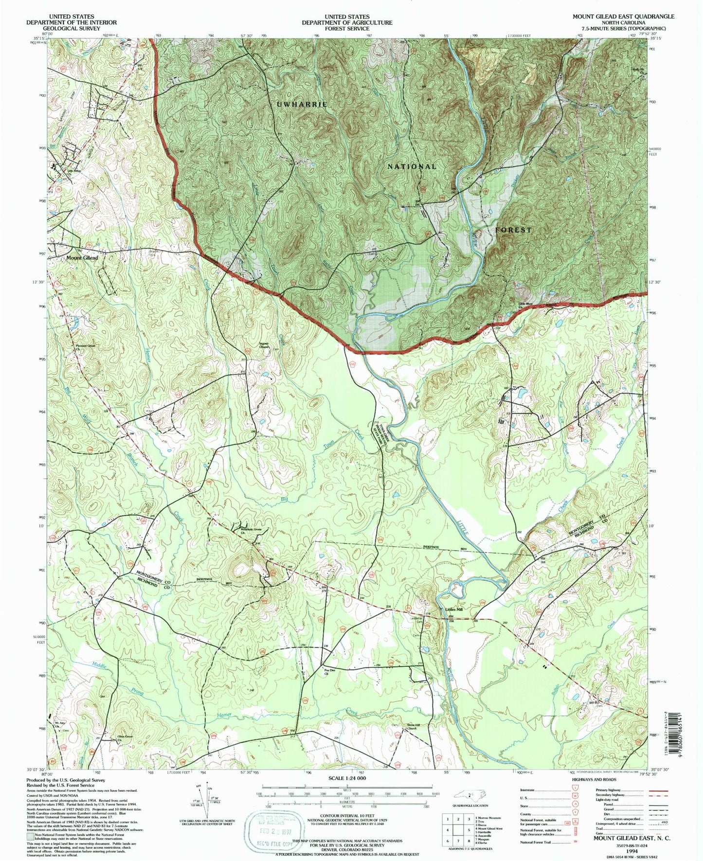
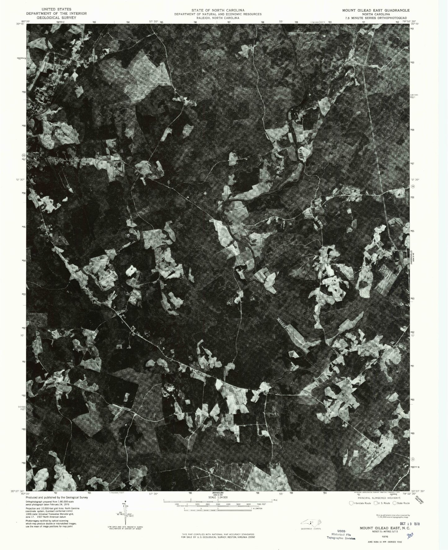
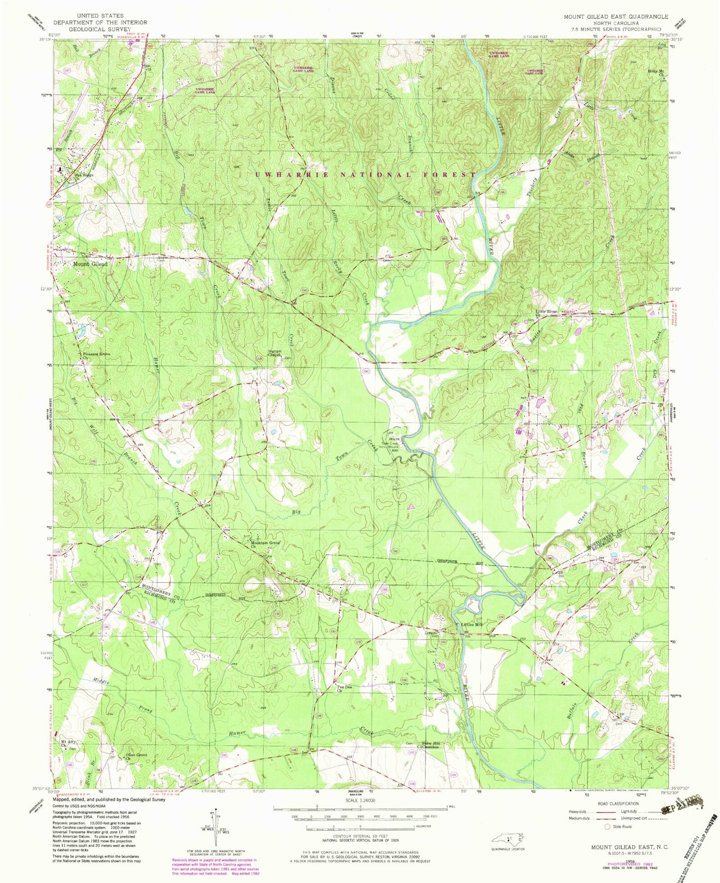
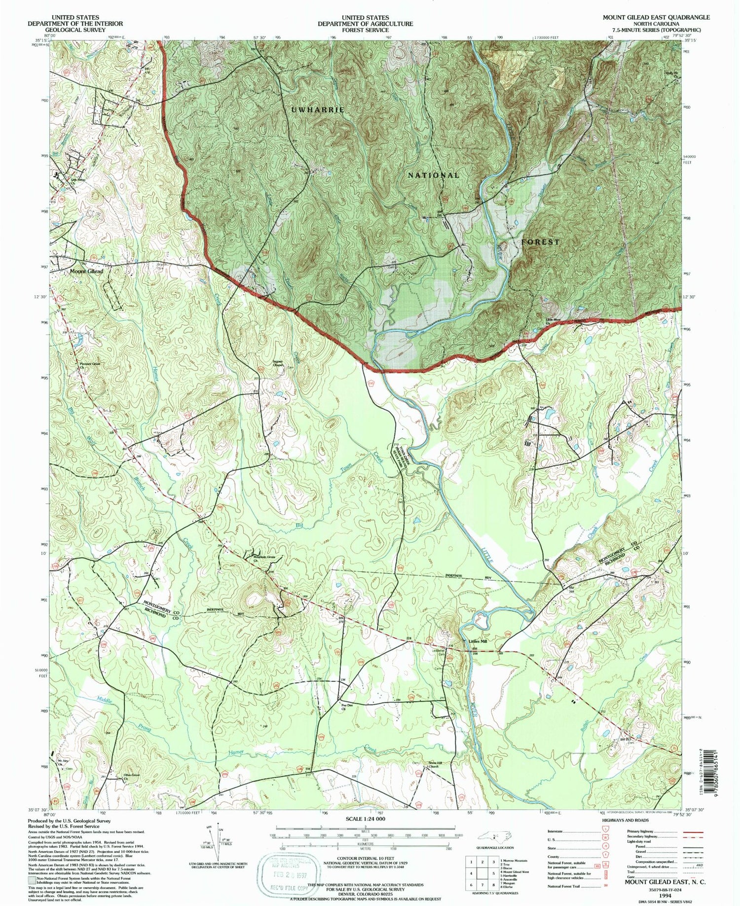
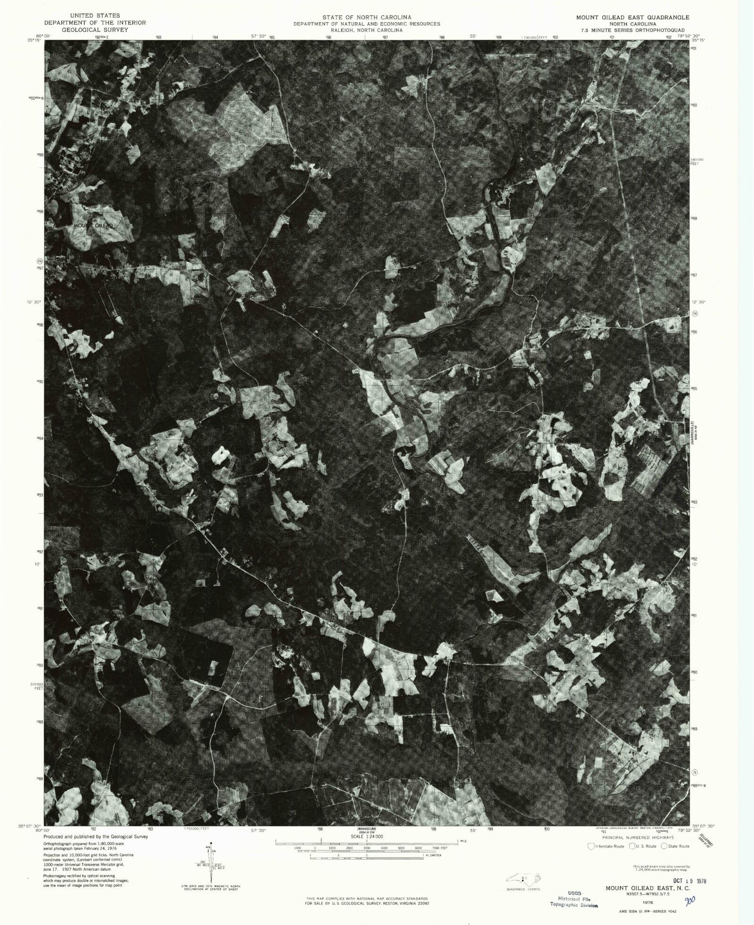
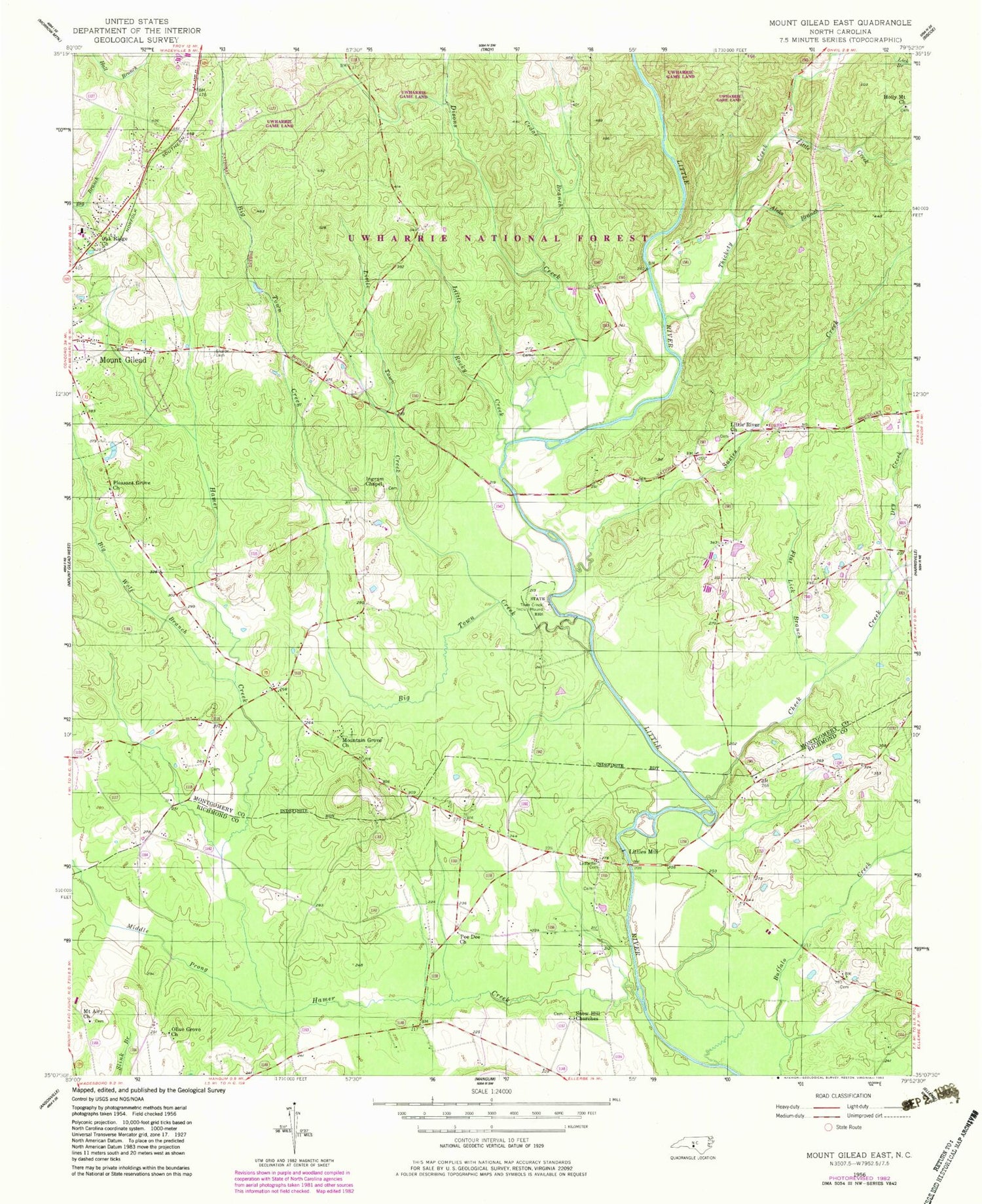
Classic USGS Mount Gilead East North Carolina 7.5'x7.5' Topo Map
Couldn't load pickup availability
Historical USGS topographic quad map of Mount Gilead East in the state of North Carolina. Map scale may vary for some years, but is generally around 1:24,000. Print size is approximately 24" x 27"
This quadrangle is in the following counties: Montgomery, Richmond.
The map contains contour lines, roads, rivers, towns, and lakes. Printed on high-quality waterproof paper with UV fade-resistant inks, and shipped rolled.
Contains the following named places: Aleks Branch, Big Town Creek, Big Wolf Branch, Cedar Branch, Cheek Creek, Disons Creek, Dry Creek, Flat Lick Branch, Hamer Creek, Highland Middle School, Holly Mount Church, Ingram Chapel, Jordan Field, Ledbetter Cemetery, Little Creek, Little River Church, Little Rocky Creek, Little Town Creek, Littles Mill, Middle Prong Hamer Creek, Mount Airy Church, Mountain Grove Church, North Carolina State Reservation, Oak Ridge Church, Olive Grove Church, Pee Dee Church, Pleasant Grove Church, Sharon Cemetery, Snow Hill Church, Stanback Park, Susies Creek, Thickety Creek, Town Creek Indian Mound, Town Creek Indian Mound State Historic Site, Township of Cheek Creek, Township of Mount Gilead, Township of Steeles, Uwbarrie Game Land, Uwharrie Game Land, ZIP Code: 27306
