MyTopo
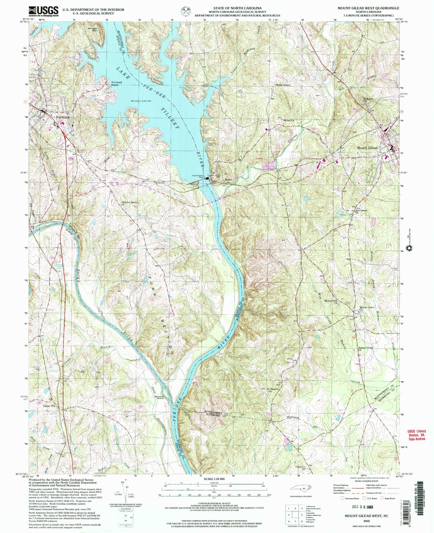
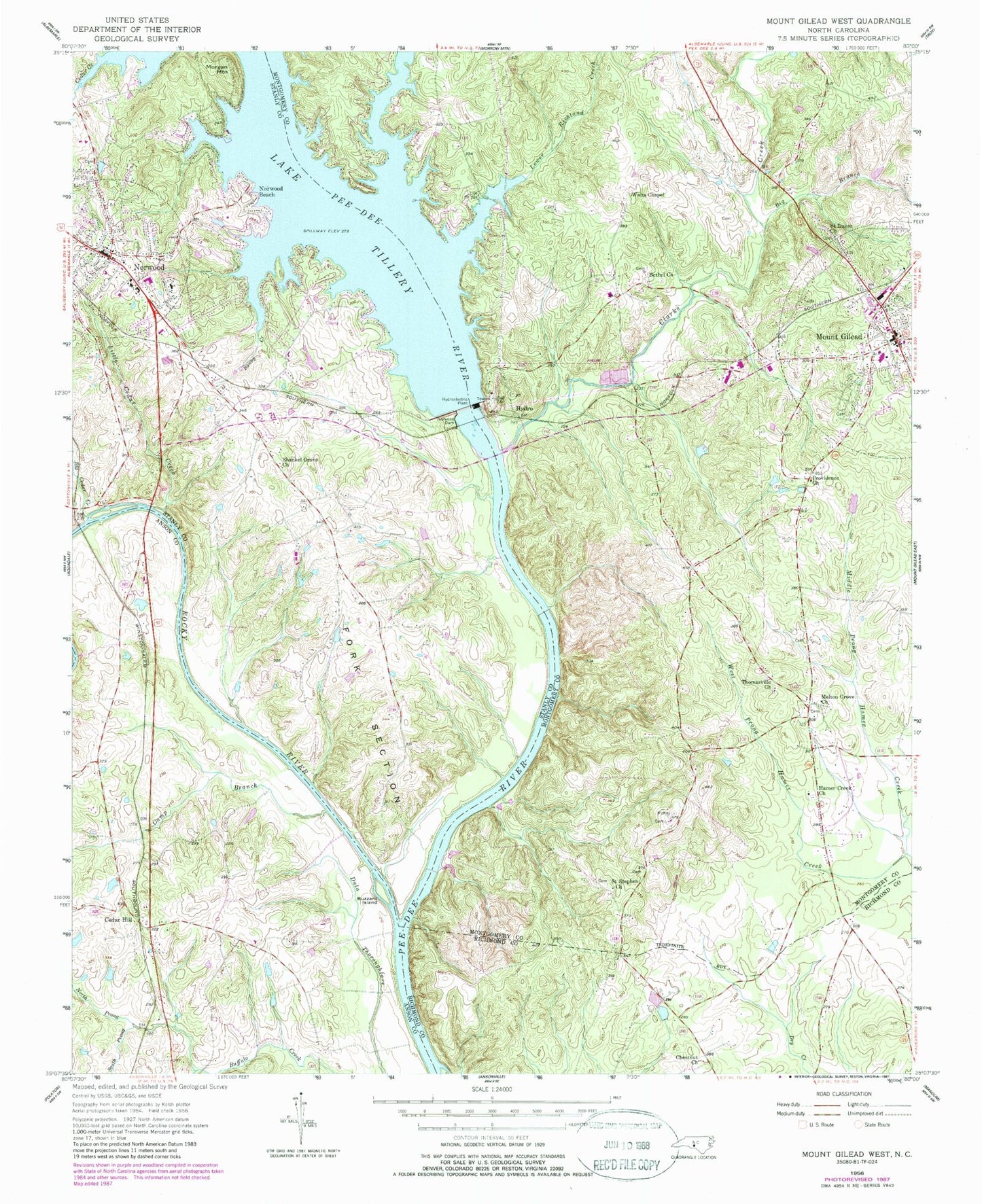
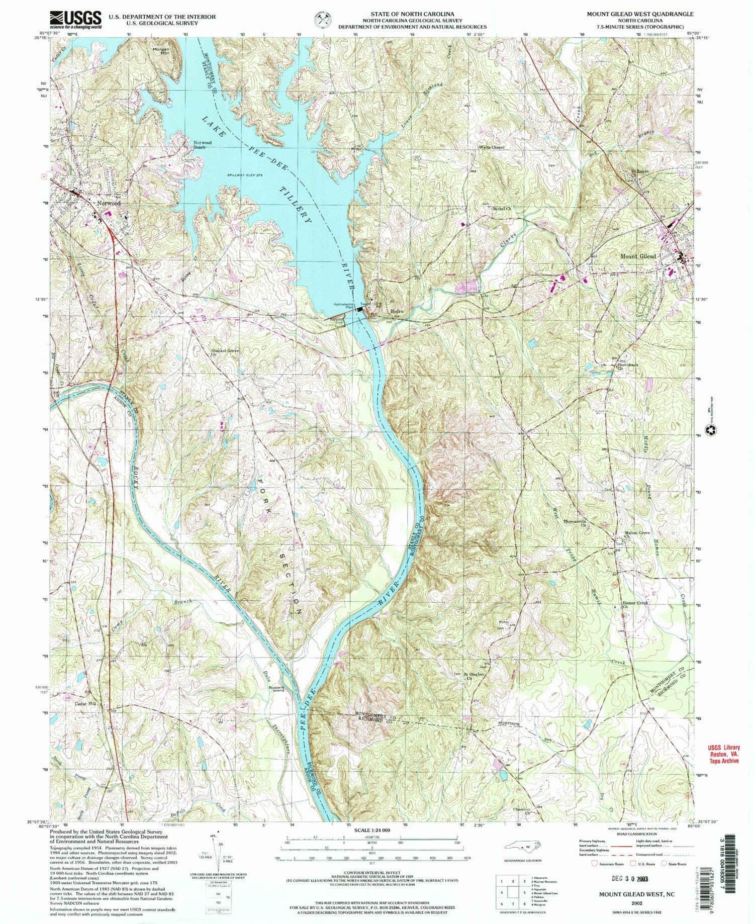
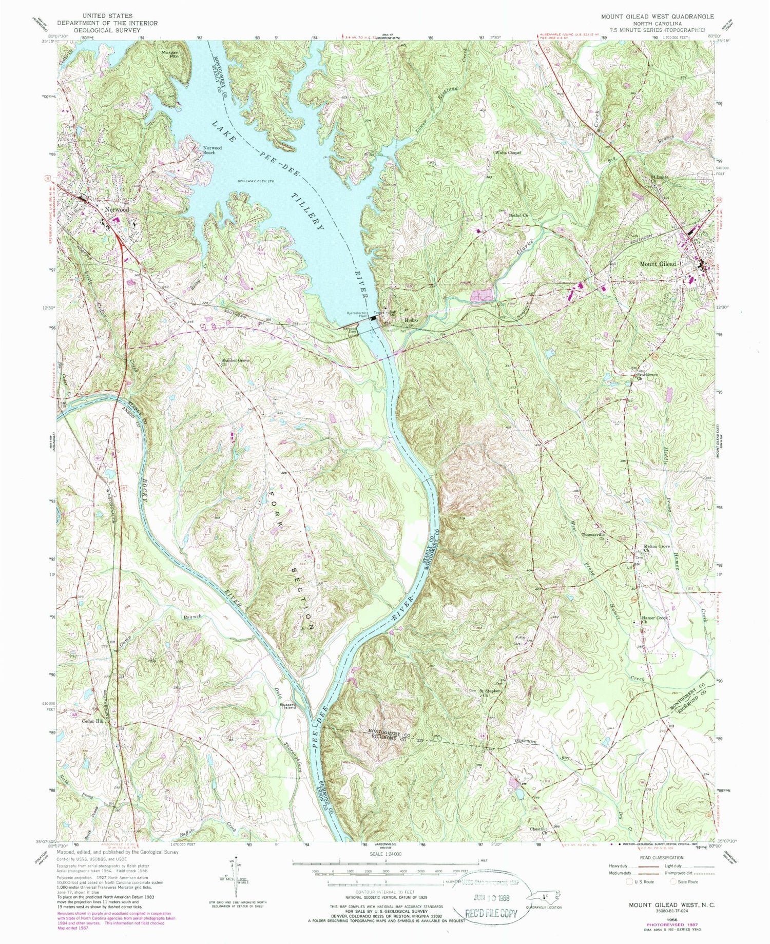
Classic USGS Mount Gilead West North Carolina 7.5'x7.5' Topo Map
Couldn't load pickup availability
Historical USGS topographic quad map of Mount Gilead West in the state of North Carolina. Map scale may vary for some years, but is generally around 1:24,000. Print size is approximately 24" x 27"
This quadrangle is in the following counties: Anson, Montgomery, Richmond, Stanly.
The map contains contour lines, roads, rivers, towns, and lakes. Printed on high-quality waterproof paper with UV fade-resistant inks, and shipped rolled.
Contains the following named places: Allenton, Bethel Church, Big Branch, Big Cedar Creek, Bunny Creek, Buzzard Island, Camp Branch, Cedar Hill, Center Rural Volunteer Fire and Rescue Department, Chestnut Church, Clarks Creek, Edinboro, First Health of the Carolinas Emergency Medical Services Base 2, Fork Section, Hamer Creek Church, Hydro, Lake Tillery, Lily Bridge, Little Cedar Creek, Lower Richland Creek, Melton Grove Church, Morgan Mountain, Mount Gilead, Mount Gilead Elementary School, Mount Gilead Police Department, Mount Gilead Post Office, Mount Gilead Volunteer Fire Department, North Prong Buffalo Creek, Norwood, Norwood Beach, Norwood Dam, Norwood Police Department, Norwood Post Office, Norwood School, Providence Church, Richland Creek, Rocky River, Saint Lukes Church, Saint Stephen Church, Shankel Grove Church, Shankle, South Prong Buffalo Creek, Springer Lake, Springer Lake Dam, Thomasville Church, Town of Mount Gilead, Town of Norwood, Township of Center, Walts Chapel, West Prong Hamer Creek


