MyTopo
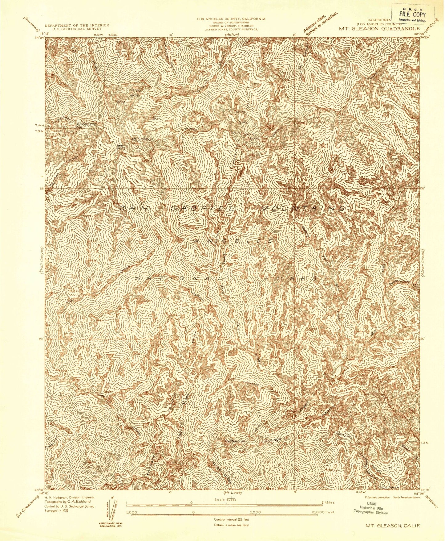
Classic USGS Mount Gleason California 7.5'x7.5' Topo Map
Couldn't load pickup availability
Historical USGS topographic quad map of Mount Gleason in the state of California. Typical map scale is 1:24,000, but may vary for certain years, if available. Print size: 24" x 27"
This quadrangle is in the following counties: Los Angeles.
The map contains contour lines, roads, rivers, towns, and lakes. Printed on high-quality waterproof paper with UV fade-resistant inks, and shipped rolled.
Contains the following named places: Deer Spring, Little Gleason Forestry Plantation, Messenger Flats, Monte Cristo Creek, Wickiup Campground, Wickiup Canyon, Baughman Spring, Colby Ranch, Coldwater Canyon, Deer Spring Campground, Fall Creek, Fox Creek, Grotto Creek, Josephine Creek, Lodestone Mine, Lucas Creek, Middle Fork Mill Creek, Mill Creek, Mount Gleason Campground, North Fork Mill Creek, The Narrows, West Fork Fox Creek, Condor Peak Ridign and hiking Trail, Lightning Point Campground, Monte Cristo Station, Messenger Peak, Messenger Flats Campground, Big Buck Campground, Hidden Springs Camp, Fall Creek Camp, Mill Creek Picnic Grounds, County Camp Number 16, Middle Target Shooting Area, Hidden Springs Picnic Area, Shoening Springs Picnic Area, Hidden Springs, Singing Springs, Mount Gleason, Colby Bridge Day Use Area, Middle Shooting Area, Nike Site LA-04C (historical), Nike Site LA-04L (historical)


