MyTopo
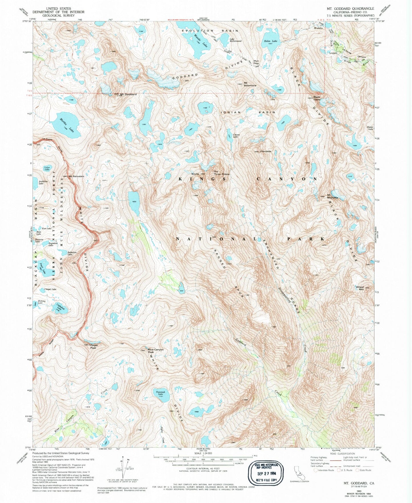
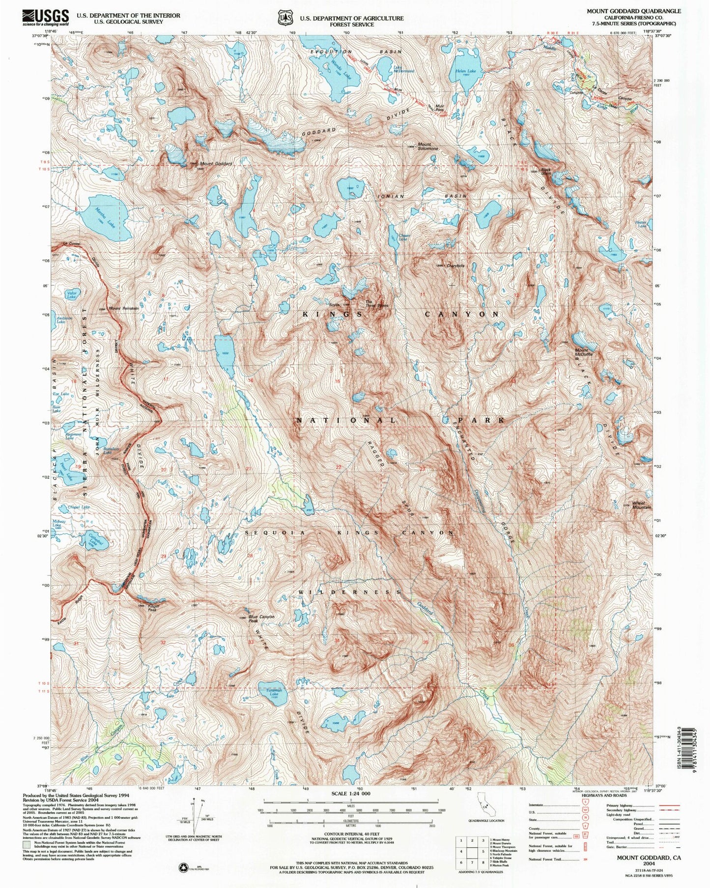
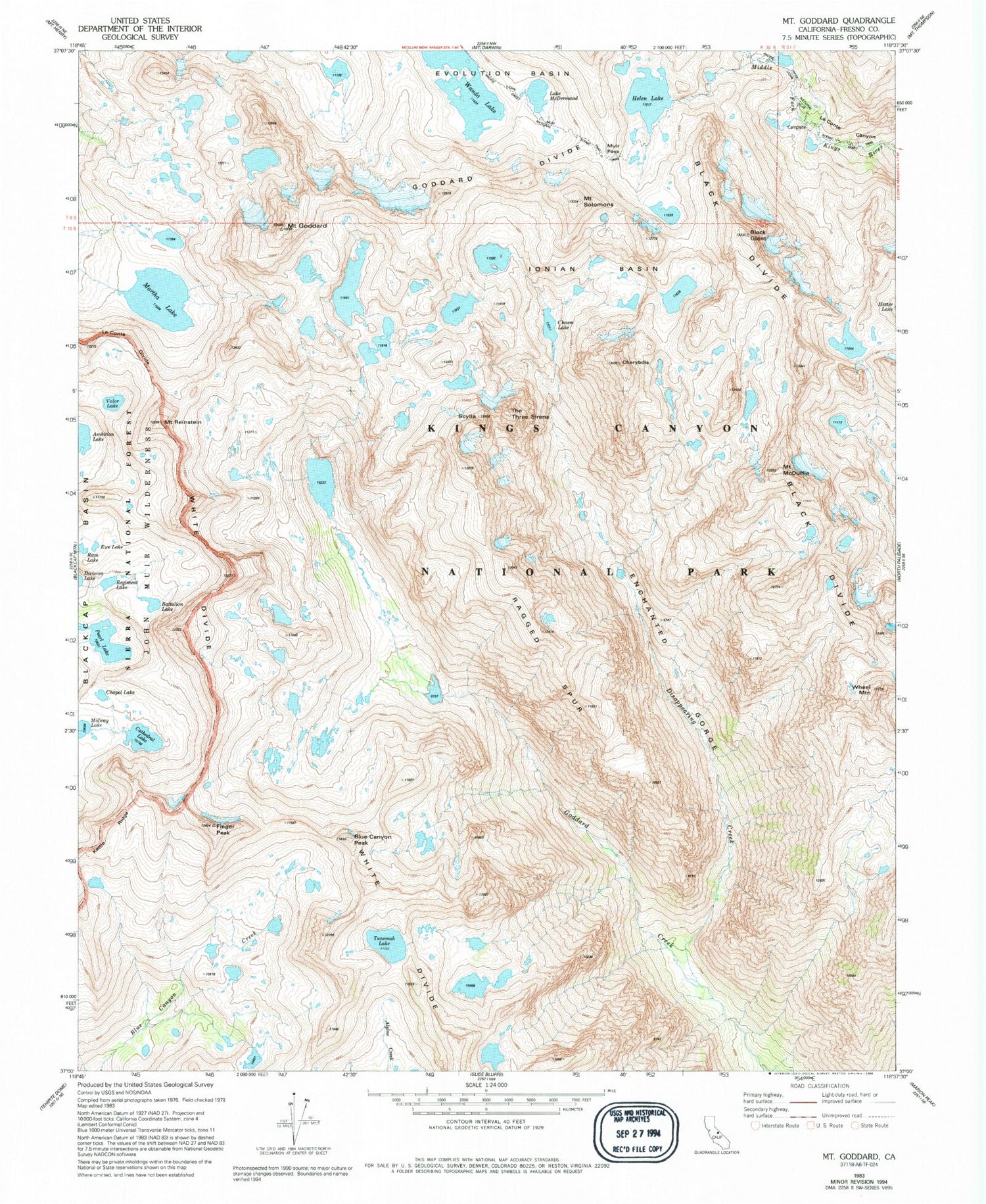
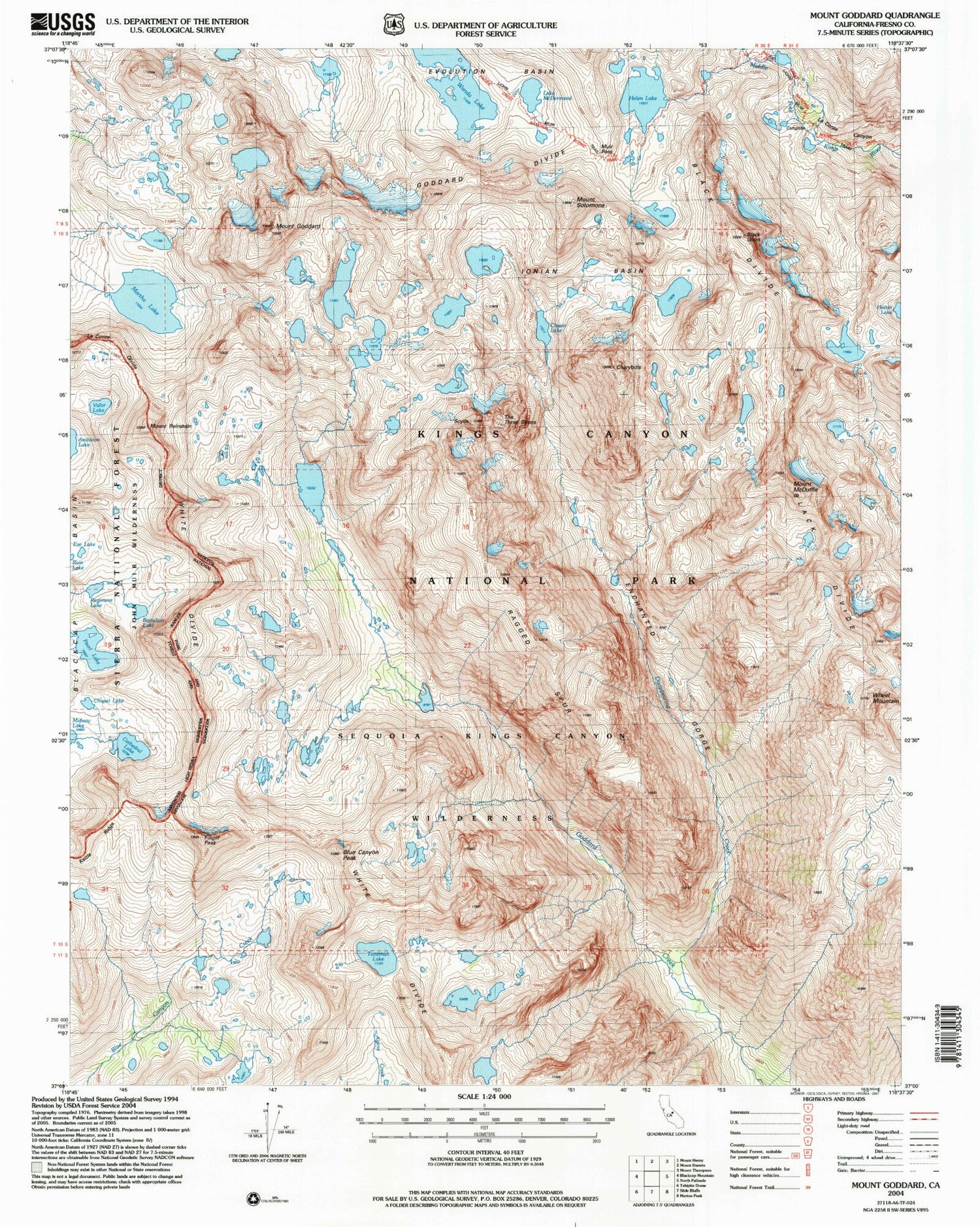
USGS Classic Mount Goddard California 7.5'x7.5' Topo Map
Couldn't load pickup availability
Historical USGS topographic quad map of Mount Goddard in the state of California. Scale: 1:24000. Print size: 24" x 27"
This quadrangle is in the following counties: Fresno.
The map contains contour lines, roads, rivers, towns, lakes, and grids including latitude / longitude and UTM / MGRS. Printed on high-quality waterproof paper with UV fade-resistant inks.
Contains the following named places: Kettle Ridge, Battalion Lake, Black Divide, Black Giant, Blue Canyon Peak, Cathedral Lake, Chapel Lake, Charybdis, Disappearing Creek, Enchanted Gorge, Ewe Lake, Finger Peak, Goddard Divide, Mount Goddard, Helen Lake, Ionian Basin, Martha Lake, Lake McDermand, Mount McDuffie, Muir Pass, Pearl Lake, Ragged Spur, Mount Reinstein, Scylla, Le Conte Divide, Mount Solomons, Tunemah Lake, Valor Lake, Wanda Lake, Wheel Mountain, White Divide, The Three Sirens, Regiment Lake, Mount Hansen (not official)


