
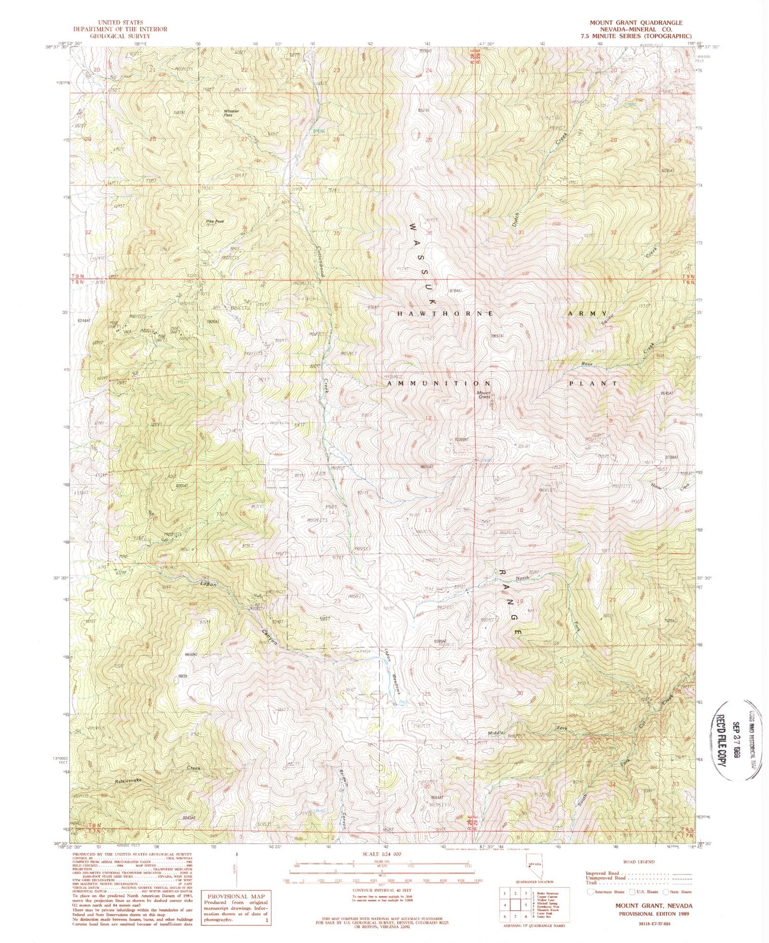
MyTopo
Classic USGS Mount Grant Nevada 7.5'x7.5' Topo Map
Regular price
$16.95
Regular price
Sale price
$16.95
Unit price
per
Couldn't load pickup availability
Historical USGS topographic quad map of Mount Grant in the state of Nevada. Typical map scale is 1:24,000, but may vary for certain years, if available. Print size: 24" x 27"
This quadrangle is in the following counties: Mineral.
The map contains contour lines, roads, rivers, towns, and lakes. Printed on high-quality waterproof paper with UV fade-resistant inks, and shipped rolled.
Contains the following named places: Mount Grant, Middle Fork Cat Creek, North Fork Cat Creek, Pike Peak, Wheeler Pass, Box Spring, Montelle (historical), Monarch Mining Company, Lapham Meadows, Mount Grant Mining District, South Fork Cat Creek, Grant Mountain Gold Mine, Montelle Post Office (historical)


