MyTopo
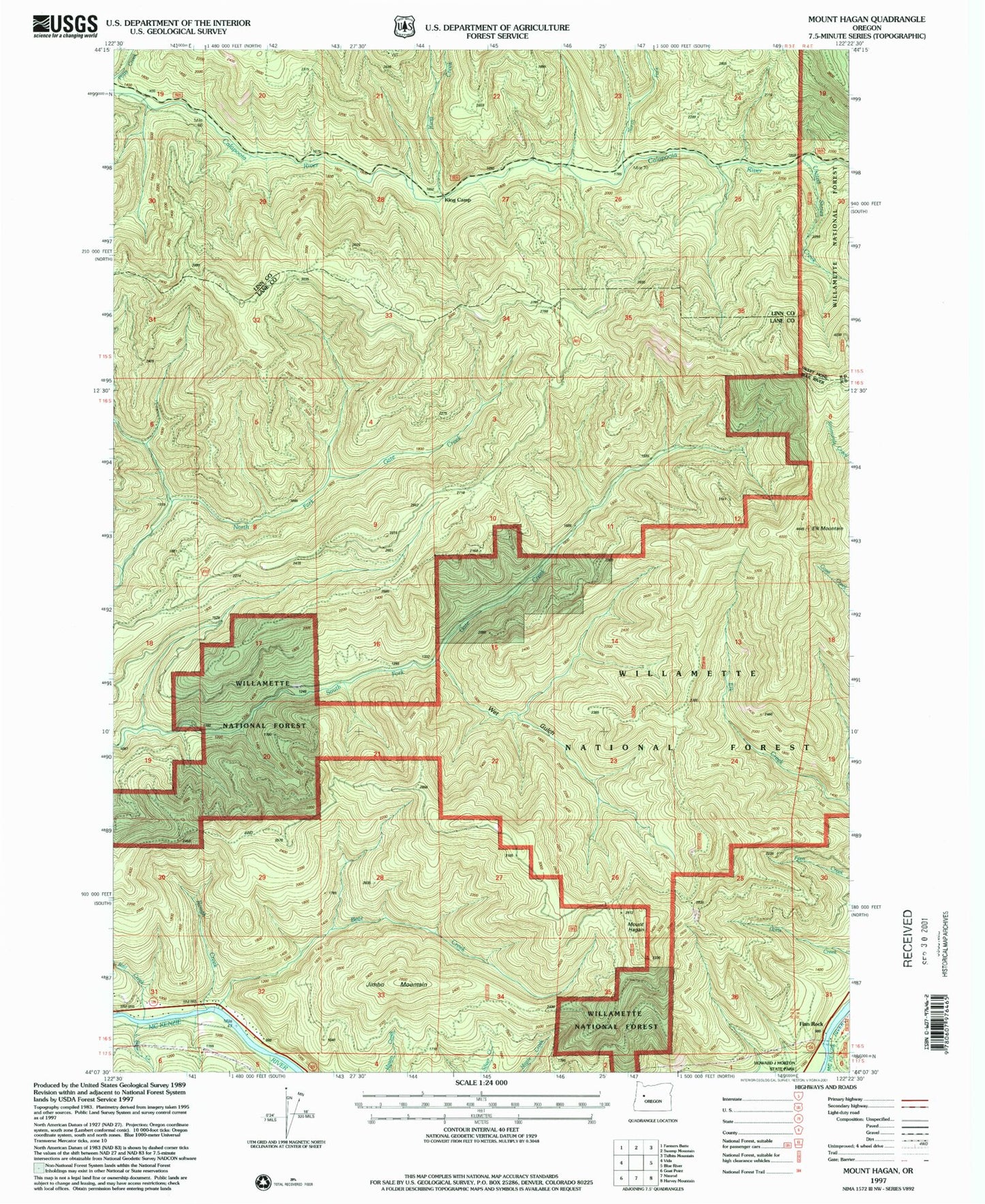
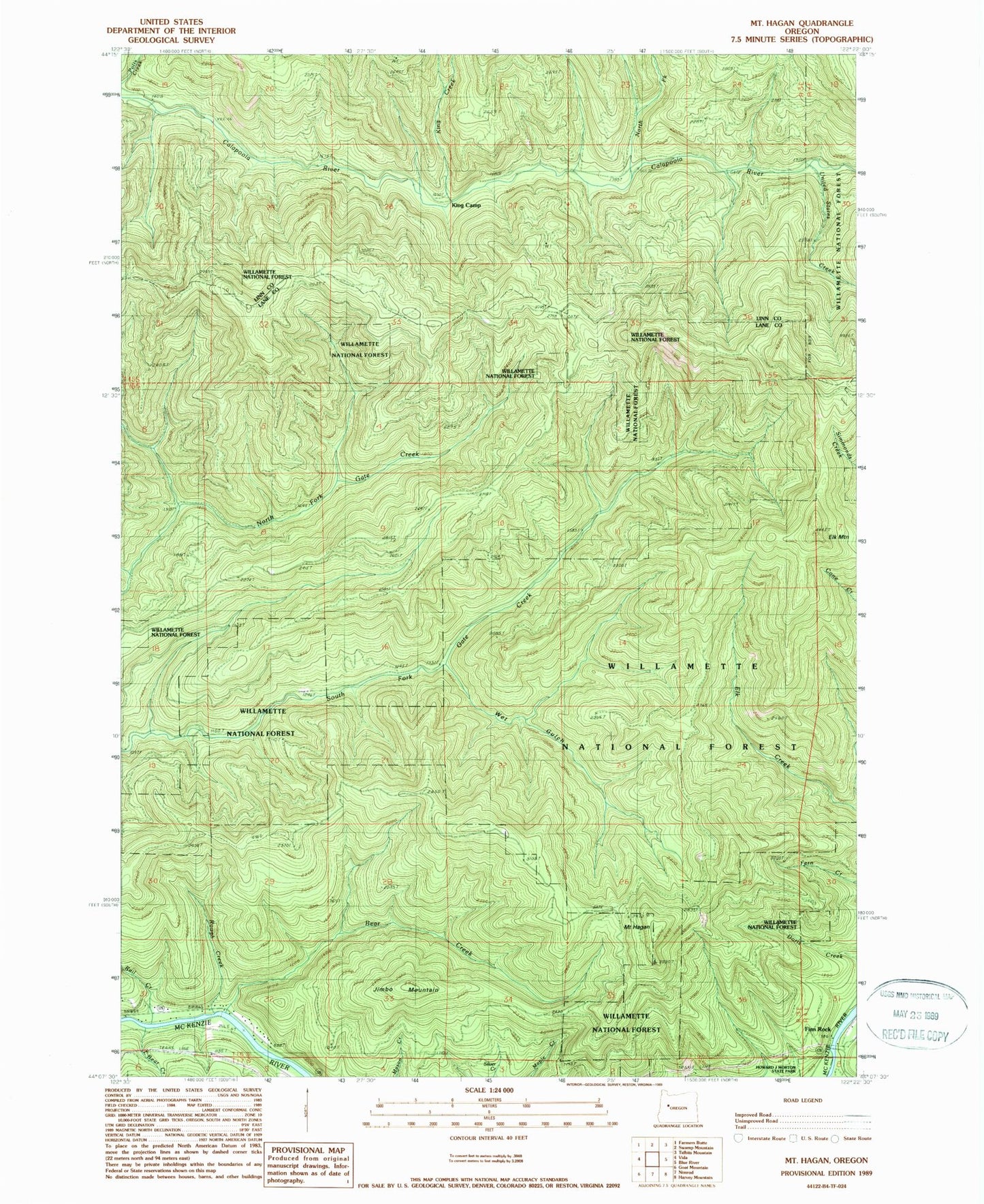
Classic USGS Mount Hagan Oregon 7.5'x7.5' Topo Map
Couldn't load pickup availability
Historical USGS topographic quad map of Mount Hagan in the state of Oregon. Map scale may vary for some years, but is generally around 1:24,000. Print size is approximately 24" x 27"
This quadrangle is in the following counties: Lane, Linn.
The map contains contour lines, roads, rivers, towns, and lakes. Printed on high-quality waterproof paper with UV fade-resistant inks, and shipped rolled.
Contains the following named places: Bear Creek, Elk Mountain, Finn Rock, Finn Rock Landing Boat Ramp, Finn Rock Post Office, Finn Rock Safety Rest Area, H J Morton County Park, Hagan Block Research Natural Area, Jimbo Mountain, King Camp, King Creek, Little Bear Creek, Mount Hagan, North Fork Calapooia River, Rail Creek, Rough Creek, United States Creek, Wet Gulch, ZIP Code: 97488


