MyTopo
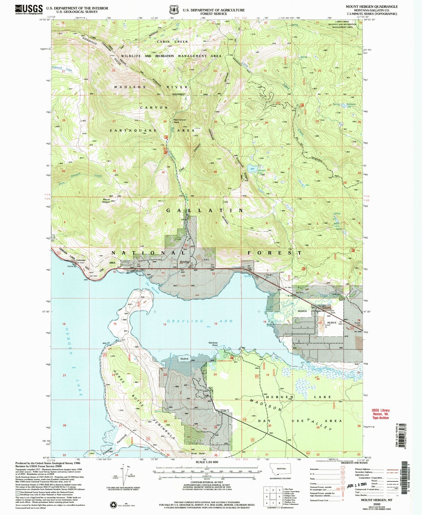
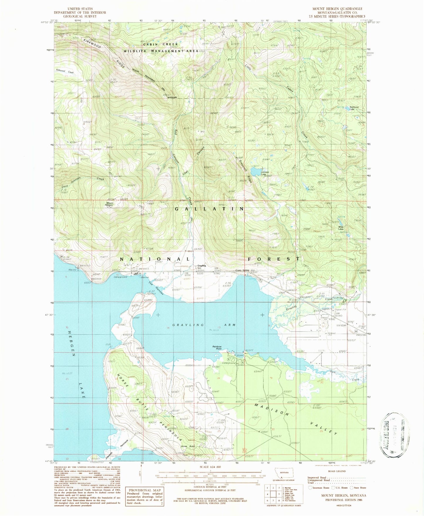
Classic USGS Mount Hebgen Montana 7.5'x7.5' Topo Map
Couldn't load pickup availability
Historical USGS topographic quad map of Mount Hebgen in the state of Montana. Typical map scale is 1:24,000, but may vary for certain years, if available. Print size: 24" x 27"
This quadrangle is in the following counties: Gallatin.
The map contains contour lines, roads, rivers, towns, and lakes. Printed on high-quality waterproof paper with UV fade-resistant inks, and shipped rolled.
Contains the following named places: Mount Hebgen, Kirkwood Ridge, Coal Canyon, Corey Spring, Edwards Peninsula, Graycroft Ridge, Grayling, Grayling Arm, Hebgen Lake, Horse Butte, Horse Butte Peninsula, Johnson Lake, Lakeview, Little Tepee Creek Trail, Parade Rest Ranch, Rainbow Point, Rathbone Lake, Red Canyon Creek, The Narrows, Whits Lakes, Edwards Point, Rainbow Point Campground, Cougar Creek, Duck Creek, Grayling Creek, KRGS-FM (West Yellowstone), 12S04E25ACDD01 Well, 12S05E17BDAA01 Well, 12S04E11BDDC01 Well, 12S04E12BCBB01 Well, Horse Butte Acres Trailer Court, Basin-Grayling School (historical), Grayling Post Office (historical), West Yellowstone Division, Northside Rural Fire District, Hebgen Lake Estates Census Designated Place